Explore The British Isles

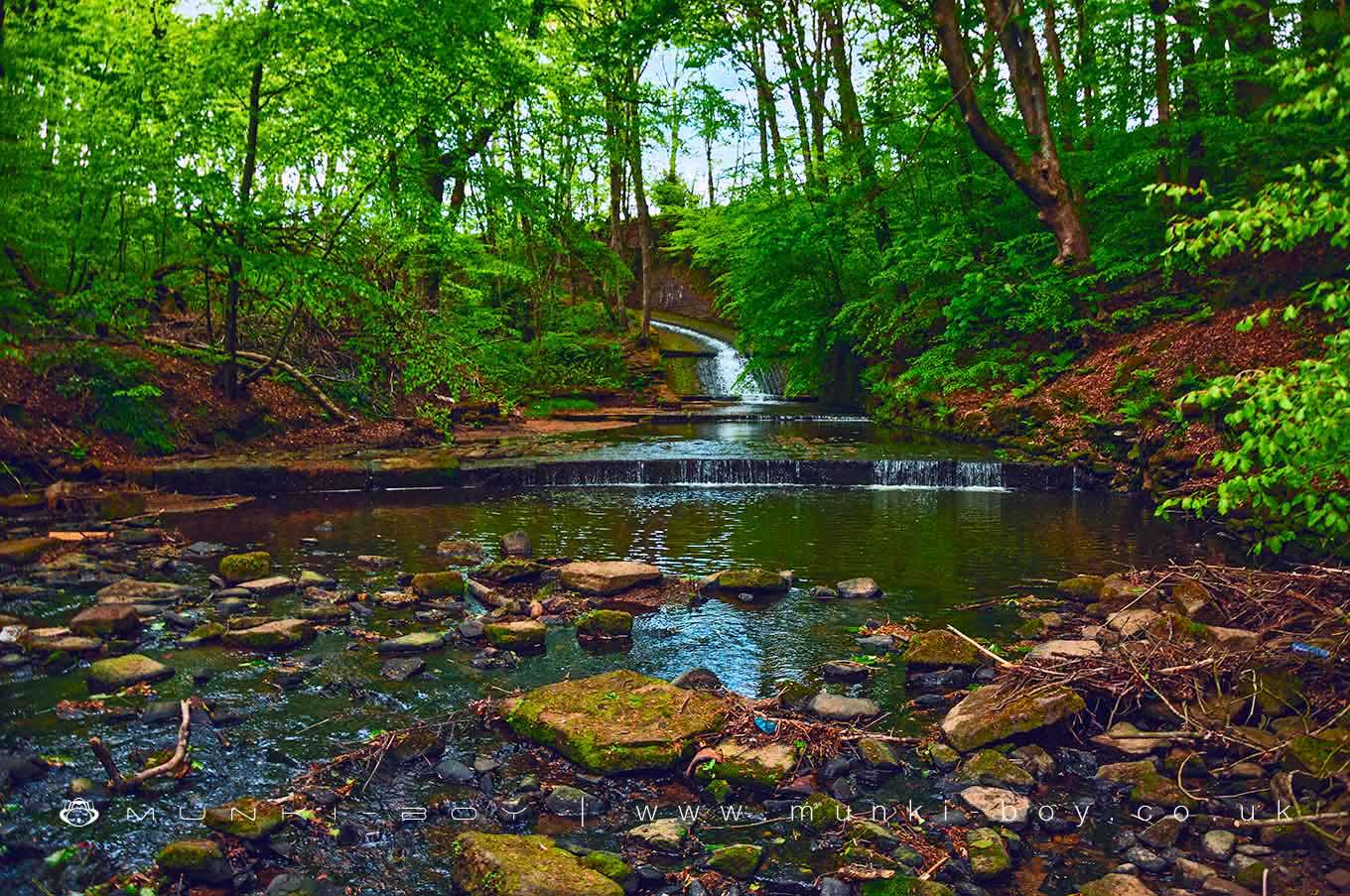
Victoria Lake Spillway
An ornamental spillway from Victoria Lake and associated mill ponds. Hidden away but visible from local footpaths the spillway is functional but the surrounding industrial era remains are now in a ruinous state. On private or maybe angling club land but a public footpath passes near the bottom.
By most definitions, not a waterfall in sight but there are several small ‘steps’ along the stone-lined watercourse that are described as ‘waterfalls’ on the early OS map and as ‘weirs’ on later. The lake above is on Dean Brook and the water flowing out here continues on as Dean Brook, a tributary of Astley Brook.
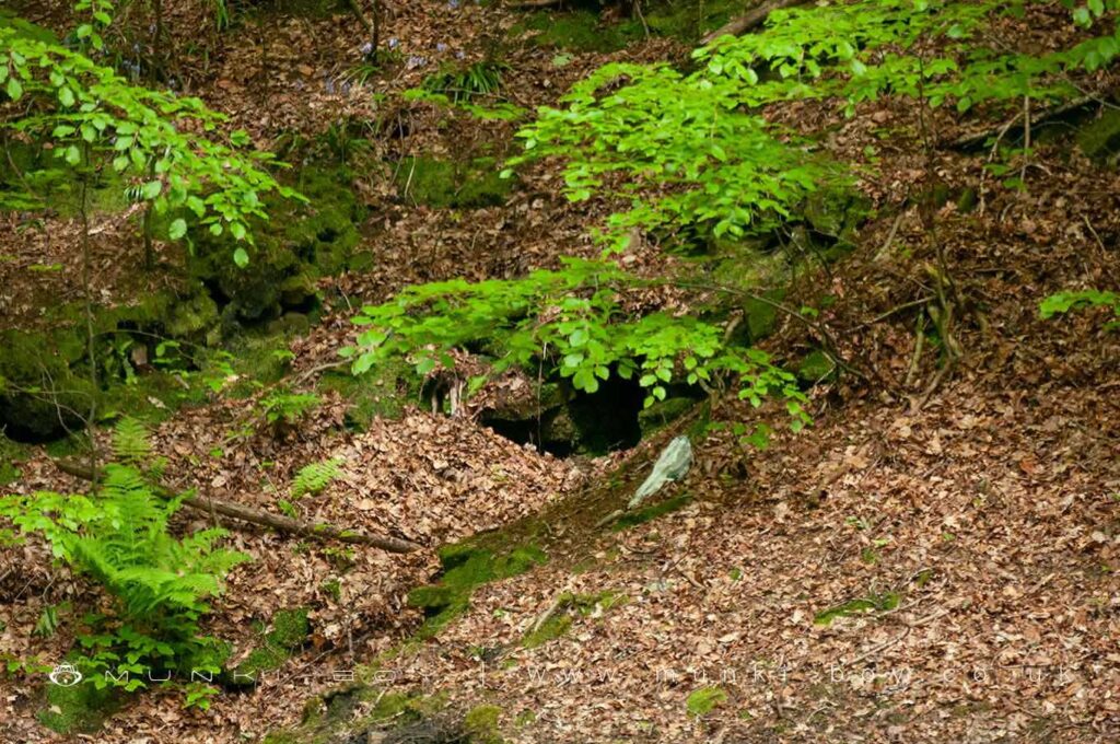
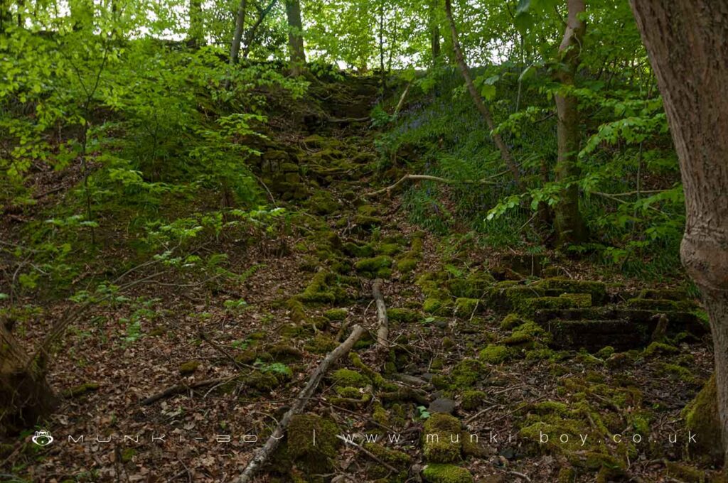
There are a number of other bits of interest nearby but not easily visible from the footpath.
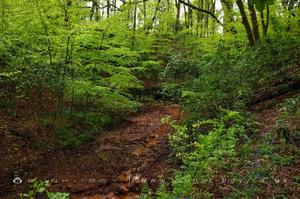
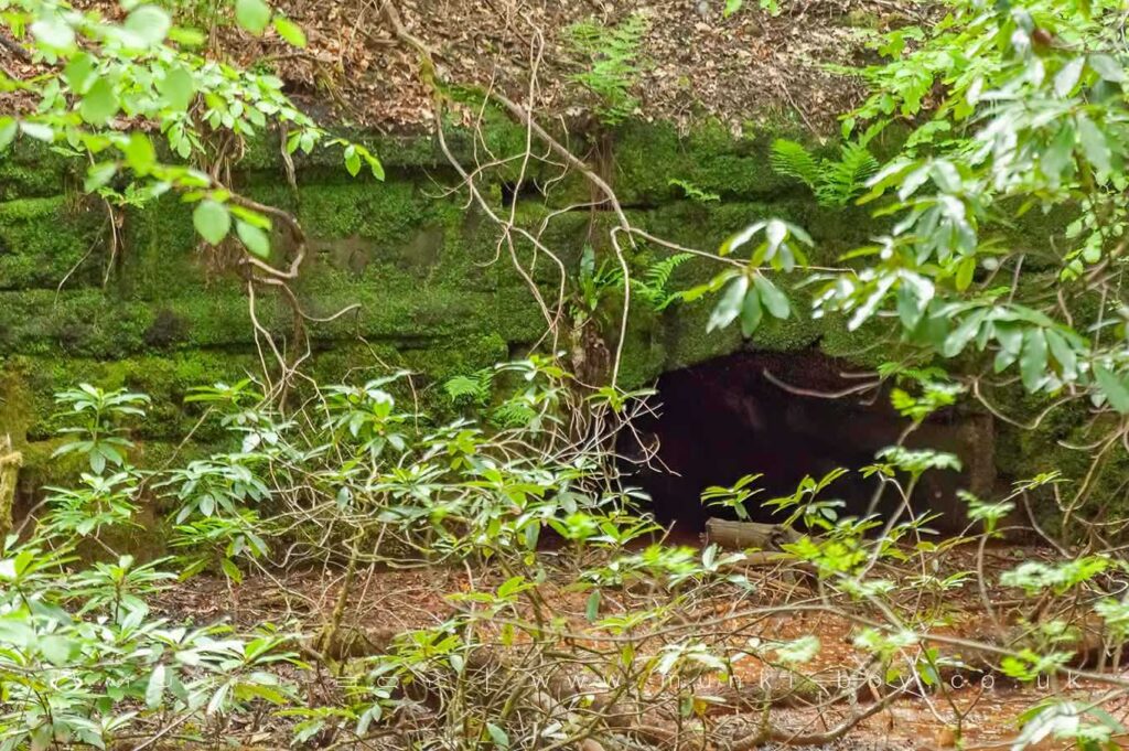
A tunnel outlet at the bottom of the lake embankment to the left of the spillway has a good amount of ochre or hydrated iron(III) oxide present in the water here, the bright-orange colour is usually associated with former local mines. However, it’s possible the tunnel is cut through rock further in or that there is water intake from the old mines. There is a carved stone on the archway but I have not been able to get a good photo from a distance and I don’t know if the stream-bed ever dries.
A number of ruined water channels lead down the valley sides to enter the brook just below the spillway. There are also stone tunnels reminiscent of mine drains but without the ochre visible, they are possibly field drains. There is a very similar tunnels at Wilderswood on the other side of the hill that are said to be mine drains and don’t have ochre staining.
Ochre is caused by iron content in the local rocks, this leaches out in small quantities naturally, as the rocks erode. When rock is mined, quarried or especially blasted a much larger quantity of iron is freed from the rock and oxidises relatively rapidly. This orange-coloured oxide is deposited in waterways and looks interesting, but causes a lot of ecological damage locally.
Local History
Historic monuments near Victoria Lake Spillway
- Coking ovens and associated coal workings on Aushaw Moss 450m south west of Lower House – 8.97 km away
- Stone circle, ring cairn and two round cairns on Cheetham Close – 4.88 km away
- Round Loaf bowl barrow on Anglezarke Moor – 8.58 km away
- Round cairn on Noon Hill – 5.72 km away
- Round cairn on Winter Hill – 5.05 km away
- Roman road at Bottom o’ th’ Knotts Brow – 6.41 km away
- Steam tramway reversing triangle – 8.95 km away
- Affetside Cross at Affetside 75m north west of the Pack Horse Inn – 6.46 km away
- Round cairn 280m west of Old Harpers Farm – 3.12 km away