Explore The British Isles


Raikes Clough
Raikes Clough is located on a bend in the River Croal in the southeast of Bolton.
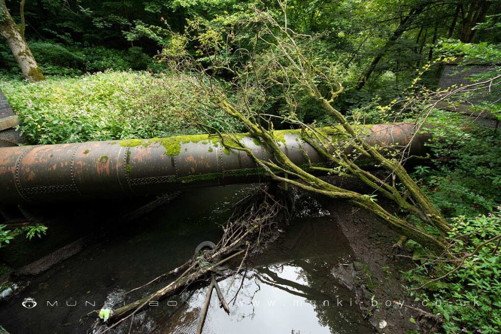
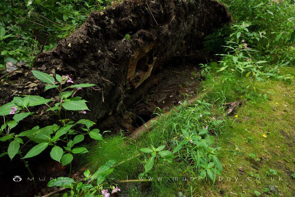
This area was heavily modified and has suffered pollution from the time of the industrial revolution and up to the latter 20th Century. Once the site of a number of bleachworks, coal pits and a nearby sewage works – the old iron pipes can be seen crossing the river today, alongside a couple that are probably still in use.
It’s not a great place to visit today, but there are many remains of Bolton’s water-powered past sandwiched between the work-yards that surround the area.
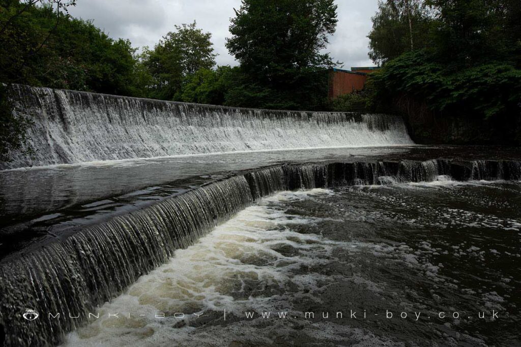
Raikes Bleach Works
Raikes Bleach Works operated from the early 19th Century at the confluence of the River Tongue and the Croal. The former site is now below the buildings of Raikes Lane Industrial Estate, but there are a number of features remaining down by the river including the remains of a brick-lined outflow into the Croal, just below a huge weir. The weir itself would probably be for another works downstream. In fact, a further mill leat came off the top of the weir on the opposite side.

Local History
Historic monuments near Raikes Clough
- Stone circle, ring cairn and two round cairns on Cheetham Close – 8.37 km away
- Roman road at Bottom o’ th’ Knotts Brow – 7.86 km away
- Lime kiln and associated culvert 50m north of Worsley Methodist Church – 7.73 km away
- Affetside Cross at Affetside 75m north west of the Pack Horse Inn – 6.39 km away
- Promontory fort called Castlesteads on the east bank of the Irwell 550m SSE of Banks Farm – 8.30 km away
- Radcliffe Tower and site of hall 100m south west of the parish church in Radcliffe – 6.32 km away
- Wardley Hall moated site, Worsley – 6.18 km away
- New Hall Moat, Astley, 200m north of Astley Hospital – 7.37 km away
- Canal tunnel entrances and wharf – 7.31 km away
- Ringley Old Bridge – 3.93 km away
- Morley’s Hall moated site – 9.41 km away
- Astley Green Colliery: engine house and headgear – 8.20 km away