Explore The British Isles

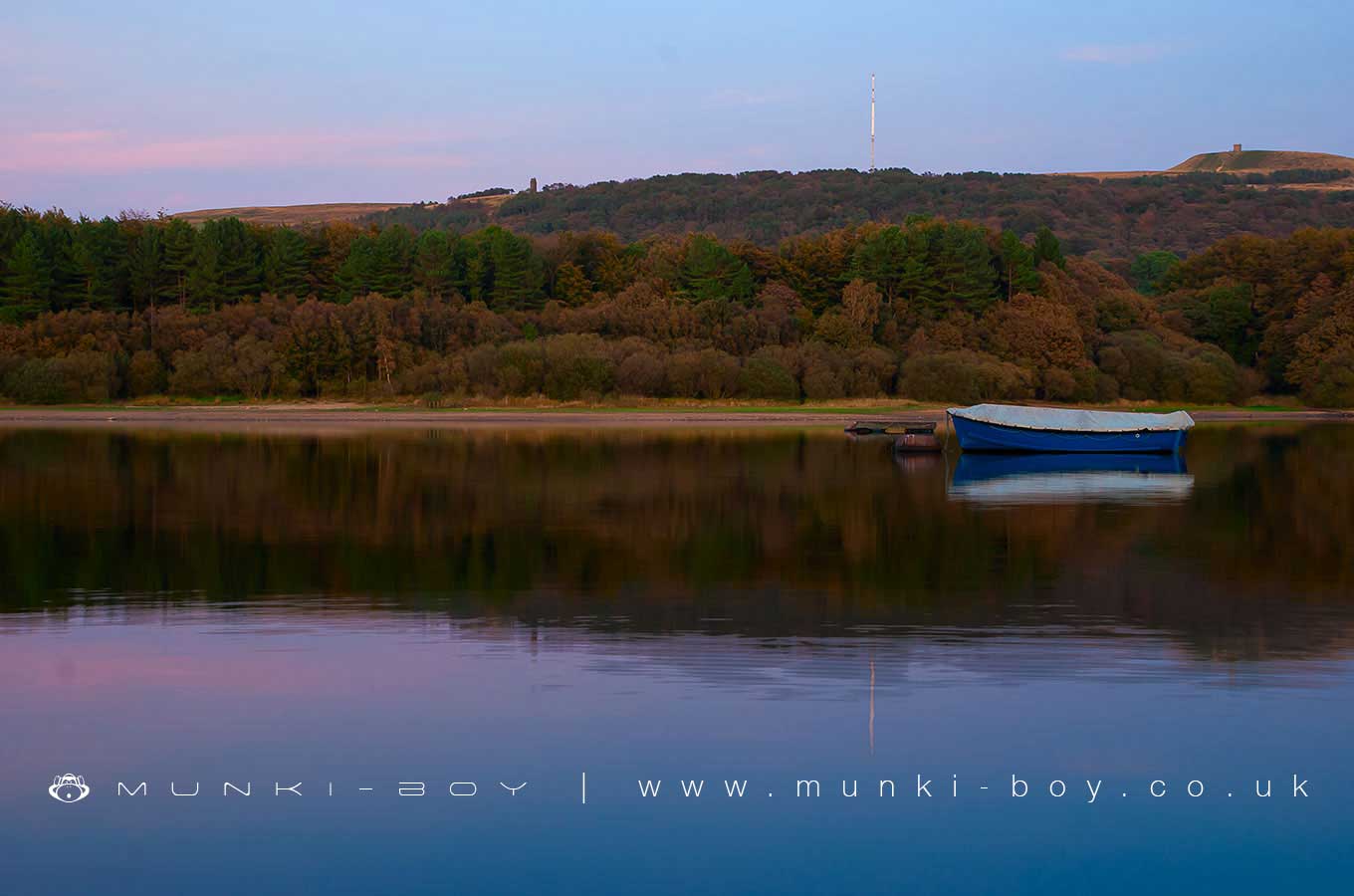
Lower Rivington Reservoir
The southern end of the chain of reservoirs at Rivington, the Lower Rivington Reservoir features a castle on the Eastern shore and an outdoor centre with boating facilities on it’s Western shore.
Interestingly the filtration plant at the southern end of the reservoir was the biggest in the world when first constructed. There is now a modern water treatment plant in place of the old sand filter beds.
The Lower Rivington Reservoir was constructed by 1857 at which time the first water was supplied by underground pipe to Prescot.
Local History
Historic monuments near Lower Rivington Reservoir
- Headless Cross, Grimeford – 0.83 km away
- Bretters Farm moated site and two fishponds – 3.79 km away
- Pike Stones chambered long cairn – 4.40 km away
- Round cairn on Winter Hill – 3.60 km away
- Round cairn on Noon Hill – 2.93 km away
- Round Loaf bowl barrow on Anglezarke Moor – 5.47 km away
- The Moat House moated site 600m WNW of St David’s Church – 4.55 km away
- Cross base on Standish Wood Lane 700m south east of Standish Hall – 7.59 km away
- Moated site at Arley Hall, Haigh near Wigan – 4.37 km away
- Mabs Cross on Standishgate, 20m west of Mabs Cross School building – 7.76 km away
- Gidlow Hall moated site, Aspull, 560m NNE of Pennington Hall – 5.78 km away
- Cross base at the junction of Standish Green Lane, Standish Wood Lane and Beech Walk, 200m NNW of Strickland House Farm, Standish – 7.30 km away
- Cross base on Green Lane 300m north of Strickland House Farm, Standish – 7.16 km away
- Market cross in the marketplace to the west of St Wilfrid’s Church, Standish – 6.92 km away
- Round cairn 280m west of Old Harpers Farm – 3.62 km away
- Haigh Sough mine drainage portal, 310m west of Park House – 6.70 km away