Explore The British Isles

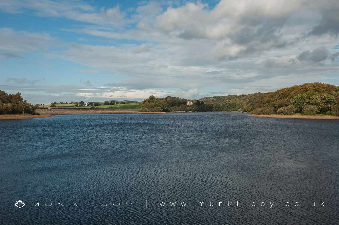
Upper Rivington Reservoir
The middle of the chain of three reservoirs at Rivington and the easiest to stroll around, although there is no ‘official’ access to the shore itself.

Local History
Historic monuments near Upper Rivington Reservoir
- Moated site of Clayton Hall, adjacent fishponds and channels – 9.46 km away
- Headless Cross, Grimeford – 1.57 km away
- Bretters Farm moated site and two fishponds – 2.44 km away
- Pike Stones chambered long cairn – 2.72 km away
- Round cairn on Winter Hill – 3.36 km away
- Round cairn on Noon Hill – 2.49 km away
- Round Loaf bowl barrow on Anglezarke Moor – 3.96 km away
- The Moat House moated site 600m WNW of St David’s Church – 5.85 km away
- Cross base on Standish Wood Lane 700m south east of Standish Hall – 8.29 km away
- Moated site at Arley Hall, Haigh near Wigan – 5.11 km away
- Mabs Cross on Standishgate, 20m west of Mabs Cross School building – 9.05 km away
- Gidlow Hall moated site, Aspull, 560m NNE of Pennington Hall – 7.50 km away
- Cross base at the junction of Standish Green Lane, Standish Wood Lane and Beech Walk, 200m NNW of Strickland House Farm, Standish – 7.85 km away
- Cross base on Green Lane 300m north of Strickland House Farm, Standish – 7.71 km away
- Market cross in the marketplace to the west of St Wilfrid’s Church, Standish – 7.34 km away
- Round cairn 280m west of Old Harpers Farm – 4.59 km away
- Haigh Sough mine drainage portal, 310m west of Park House – 8.01 km away