Explore The British Isles

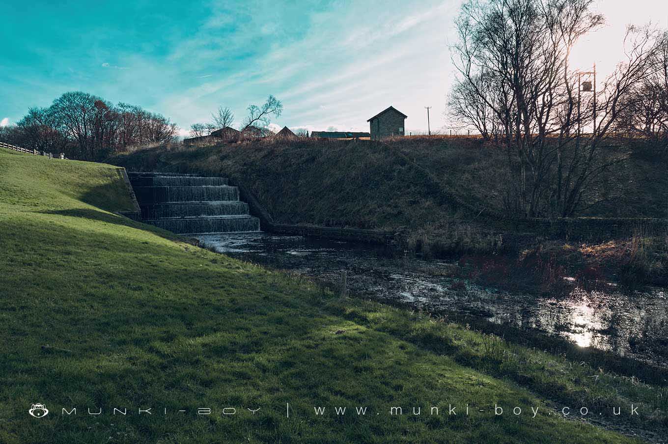
Upper Rivington Reservoir Yarrow Outflow
An artificial cascade creating an outflow from Upper Rivington Reservoir into the River Yarrow.
Often dry but after very wet weather a roaring cascade.
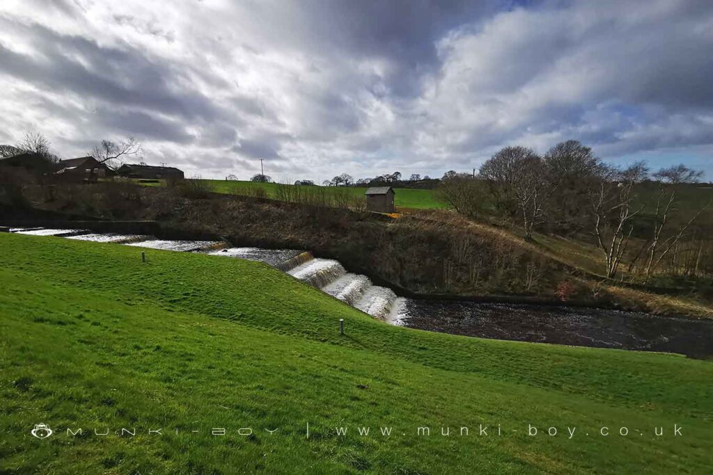
Cascade from Upper Rivington Reservoir into the River Yarrow
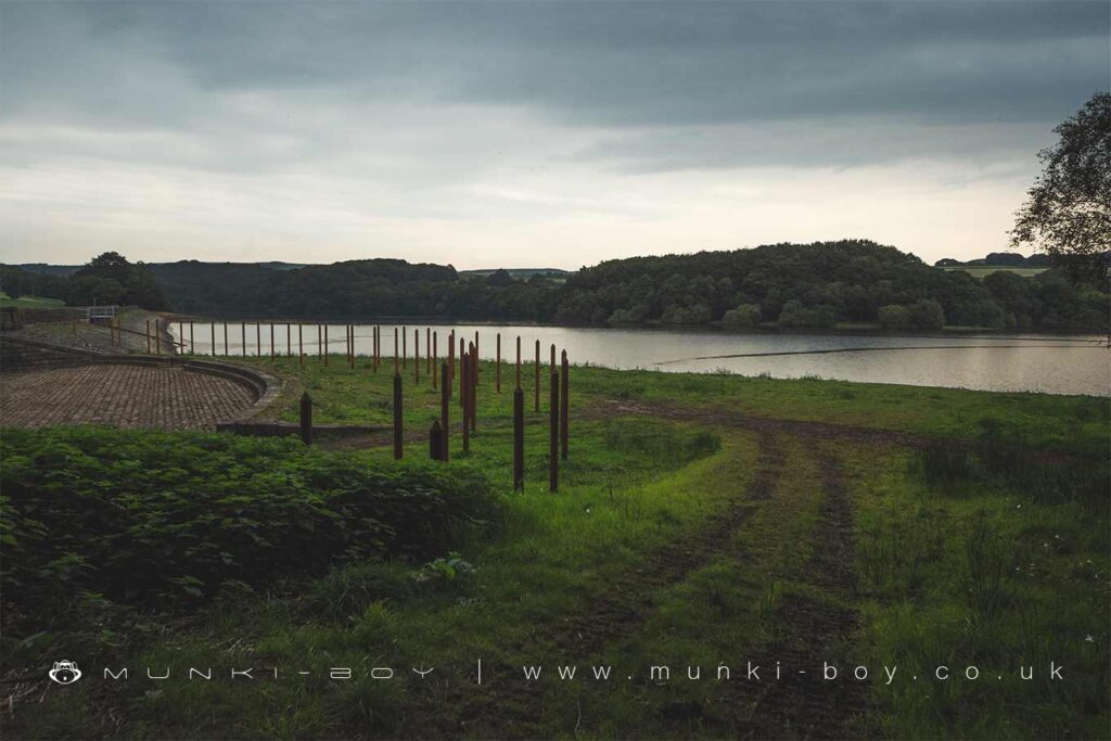
Debris Screen above the Upper Rivington Reservoir Overflow
Local History
Historic monuments near Upper Rivington Reservoir Yarrow Outflow
- Moated site of Clayton Hall, adjacent fishponds and channels – 8.52 km away
- Headless Cross, Grimeford – 2.50 km away
- Bretters Farm moated site and two fishponds – 2.00 km away
- Pike Stones chambered long cairn – 1.87 km away
- Round cairn on Winter Hill – 3.65 km away
- Round cairn on Noon Hill – 2.78 km away
- Round Loaf bowl barrow on Anglezarke Moor – 3.24 km away
- The Moat House moated site 600m WNW of St David’s Church – 6.67 km away
- Cross base on Standish Wood Lane 700m south east of Standish Hall – 8.81 km away
- Moated site at Arley Hall, Haigh near Wigan – 5.73 km away
- Mabs Cross on Standishgate, 20m west of Mabs Cross School building – 9.85 km away
- Gidlow Hall moated site, Aspull, 560m NNE of Pennington Hall – 8.49 km away
- Cross base at the junction of Standish Green Lane, Standish Wood Lane and Beech Walk, 200m NNW of Strickland House Farm, Standish – 8.31 km away
- Cross base on Green Lane 300m north of Strickland House Farm, Standish – 8.17 km away
- Market cross in the marketplace to the west of St Wilfrid’s Church, Standish – 7.74 km away
- Round cairn 280m west of Old Harpers Farm – 5.34 km away
- Haigh Sough mine drainage portal, 310m west of Park House – 8.82 km away