Explore The British Isles

The Croal
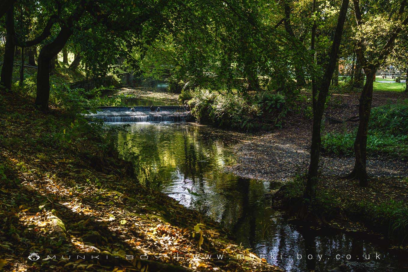
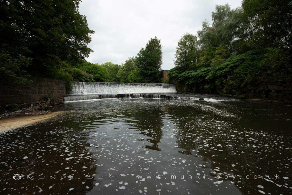
The Croal is now a small, recovering waterway that was once part of the industrial revolution as it passed through the industrial town of Bolton. Scenic in places and frequented by Kingfisher – even close to the town centre of Bolton there is still a good amount of trash below the gravel of the river bed which is revealed after heavy rain causes flooding.
Some sections of the Croal are still rather polluted but if we imagine what it was like a few years ago the improvements are startling.
The Croal Underground in Bolton
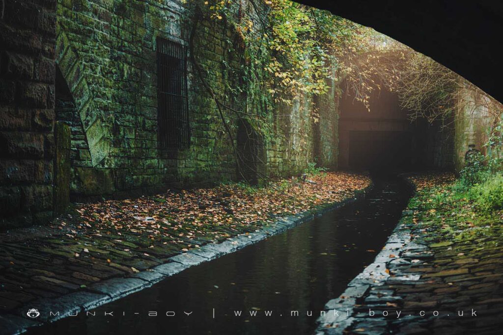
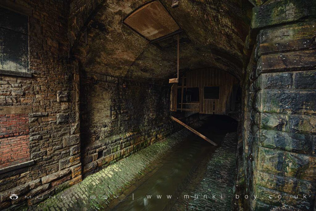
As the Croal enters the west side of Bolton town centre it passes through in a stone-lined trench that is below modern street levels and this has been the case since the latter-half of the 19th Century with several mills or industrial buildings bridging the river in places along with several roads. Since the late 1980s a further section of the river was culverted between Knowsley St and Bridge St with the modern “Market Place” being built above.
The river being below street level exposes entrances to the cellars of the old town some linked with bridges over the river, a few places have a distinctly “Victorian” look. Much of the central area of Bolton has underground spaces, partly due to the large number of natural springs and one could imagine to level-off the upper ground for the central shopping area and precint areas.
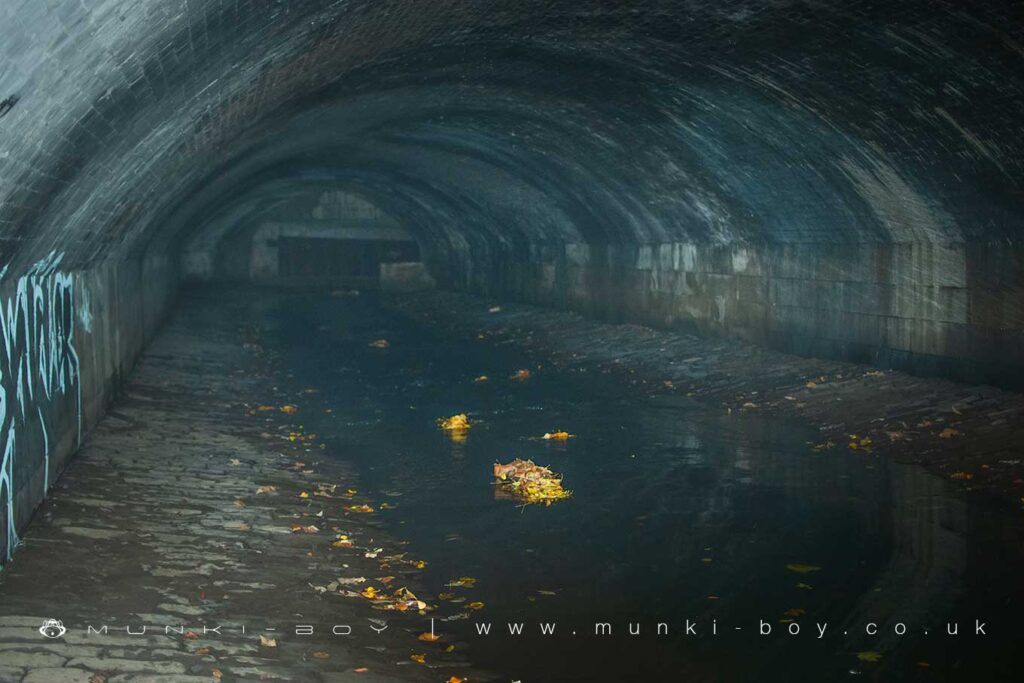
Leaving the centre of Bolton the River Croal is once again culverted through the area once know as Church Wharf which was the Bolton end of the old Manchester, Bolton and Bury Canal which was fed here by water from the Croal.
Eventually The Croal enters the Burnden area of Bolton which around the river is still rather polluted and the river is crossed by large sewer pipes. Further downstream after The Croal meet the River Tongue things get cleaner and sections within the Moses Gate Country Park and down to the confluence with the larger Irwell there is plenty of wildlife in and around the river.
Local History
Historic monuments near The Croal
- Stone circle, ring cairn and two round cairns on Cheetham Close – 6.76 km away
- Round cairn on Noon Hill – 8.42 km away
- Round cairn on Winter Hill – 7.82 km away
- Roman road at Bottom o’ th’ Knotts Brow – 7.24 km away
- Lime kiln and associated culvert 50m north of Worsley Methodist Church – 9.93 km away
- Affetside Cross at Affetside 75m north west of the Pack Horse Inn – 6.44 km away
- Wardley Hall moated site, Worsley – 8.67 km away
- New Hall Moat, Astley, 200m north of Astley Hospital – 8.16 km away
- Canal tunnel entrances and wharf – 9.50 km away
- Ringley Old Bridge – 6.73 km away
- Round cairn 280m west of Old Harpers Farm – 5.53 km away
- Astley Green Colliery: engine house and headgear – 9.23 km away