Explore The British Isles

Fairy Battery
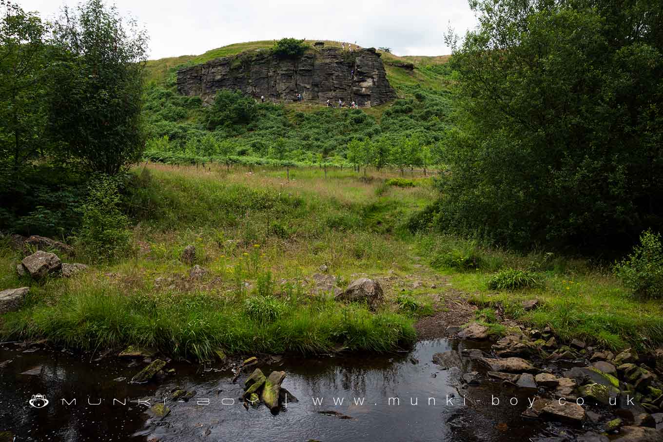
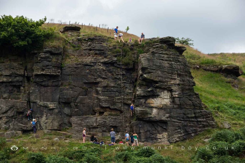
The Fairy Battery is a rock outcrop above Cadshaw Brook now a popular climbing spot known as Cadshaw Rocks or Cadshaw Castle.
18th Century sources reckon the name is a corruption of ‘buttery’ – Andrew’s Buttery is on the moors to the west – the large slabs of gritstone found in the area being likened to slabs used in traditional butter making. However, the name in many places refers to old archery ‘butts’ which were quite common, and in the medieval period archery practice was mandatory by order of the King. I think this most likely. There are also places where promintent landscape features are used as the edge of boundaries – places which ‘abutt’ the boundary, though this doesn’t seem the case here, the boundary here follows the river and is not quite near the rock outcrop.
The rocks that can be seen in the outcrop at Fairy Battery are of the local gritsone in interesting layers of ripple-bedding with large, vertical cracks between – this creates strange-looking patterns in the rock that are actually formed by flows of water depositing sediment. I would assume this is an old quarry as there are several above and there has been substantial quarrying directly across the brook.
Local History
Historic monuments near Fairy Battery
- Coking ovens and associated coal workings on Aushaw Moss 450m south west of Lower House – 3.09 km away
- Stone circle, ring cairn and two round cairns on Cheetham Close – 2.41 km away
- Round cairn on Noon Hill – 6.82 km away
- Round cairn on Winter Hill – 6.04 km away
- Roman road at Bottom o’ th’ Knotts Brow – 4.58 km away
- Steam tramway reversing triangle – 2.57 km away
- Affetside Cross at Affetside 75m north west of the Pack Horse Inn – 6.49 km away
- Round cairn 280m west of Old Harpers Farm – 7.27 km away