Explore The British Isles

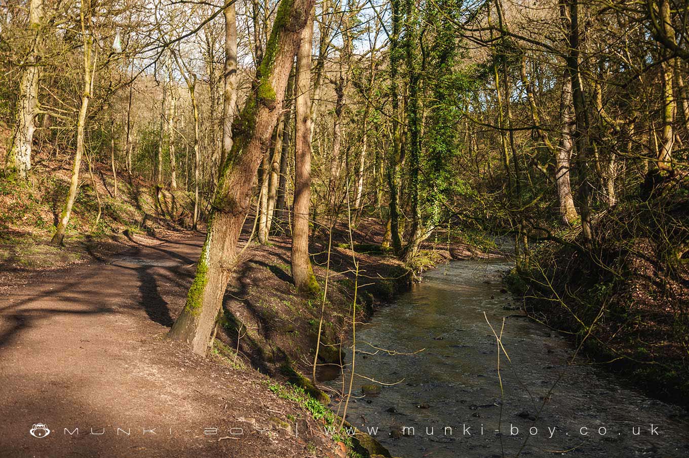
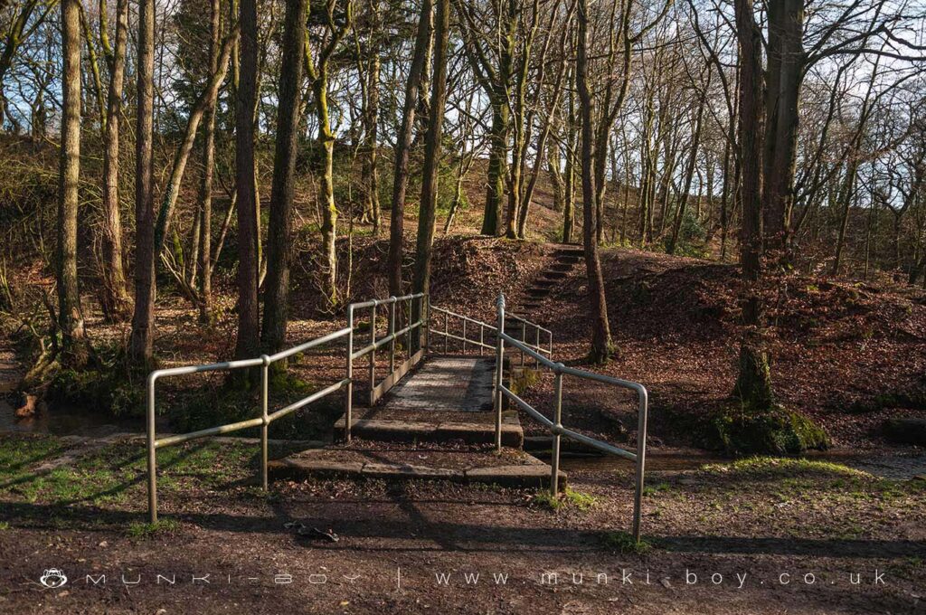
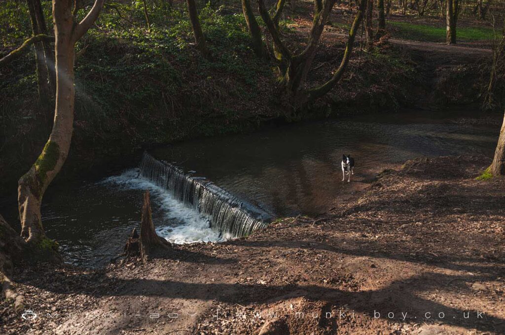
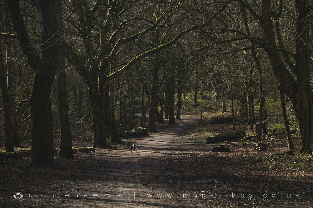
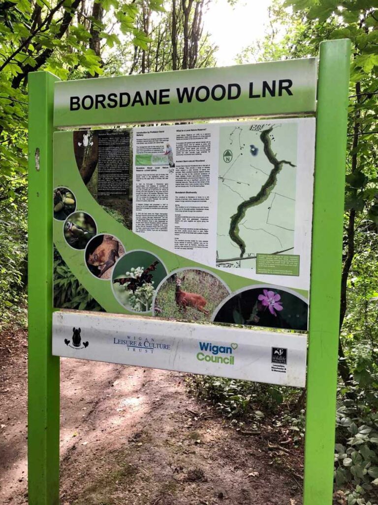
Borsdane Wood
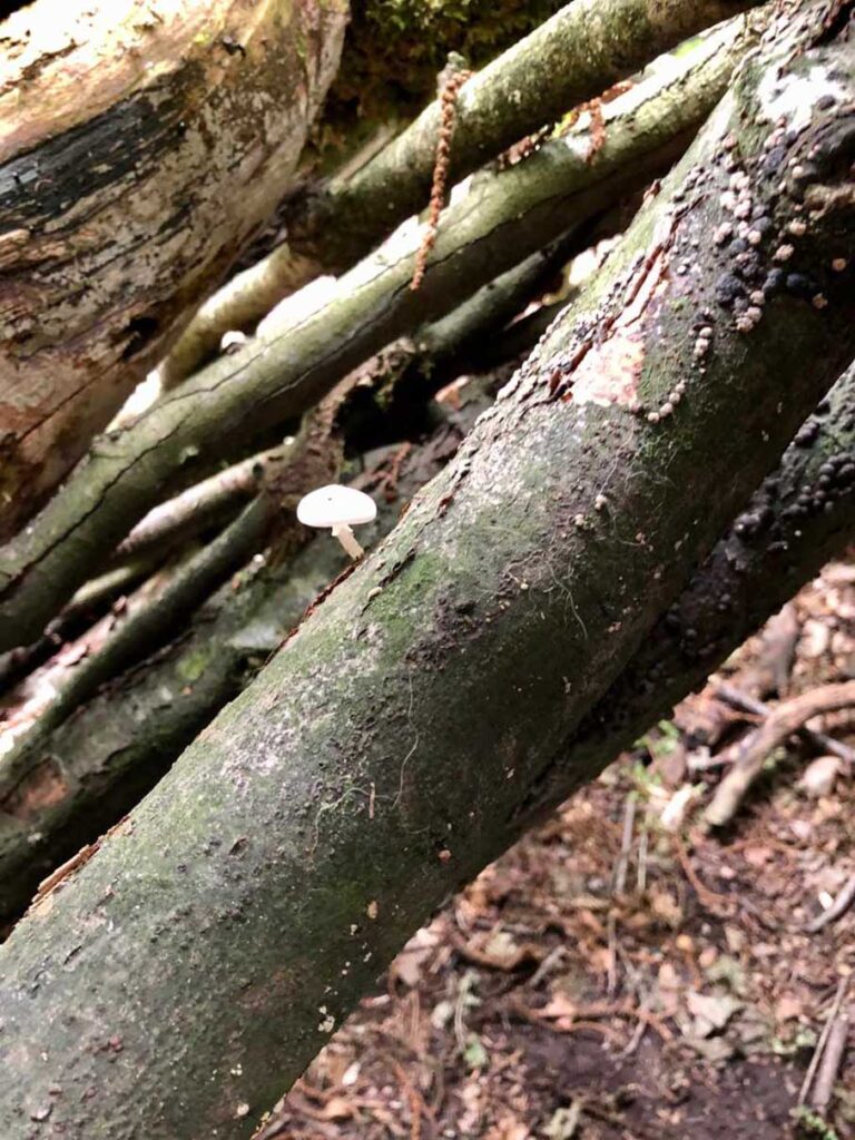
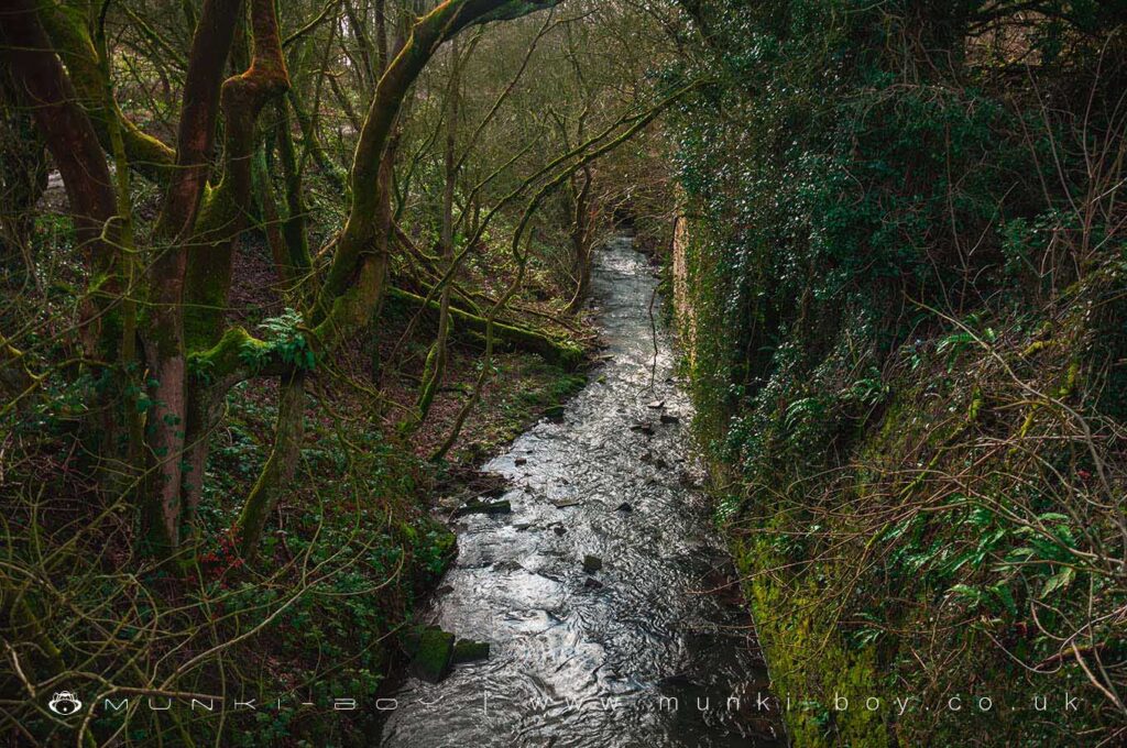
Borsdane Wood is an amazing example of ancient woodland. Natural history as it was 7,000 years ago when Britain was covered with native trees.
David Bellamy
Borsdane Wood Local Nature Reserve – a brief history
Borsdane Wood was formerly part of Hindley Hall Estate, which in the eighteenth century was acquired by the Leigh family of Whitley Hall near Wigan.
In 1931 Mr R.D.Leigh Pemberton gave approximately 10.9 hectares of woodland to Hindley, Aspull and Westhoughton U.D. Councils and with a smaller gift of land from Mr. Wilcox of Hindley and land acquired by the three council’s brought the total to 26 hectares. Borsdane Wood Joint Committee was founded on the 12th June 1931 to oversee the management of the woodland and the three council’s financed this with the product of a penny rate levied.
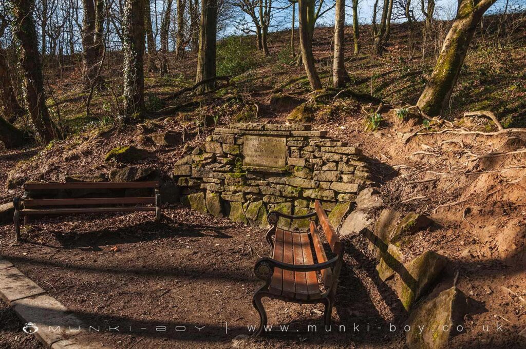
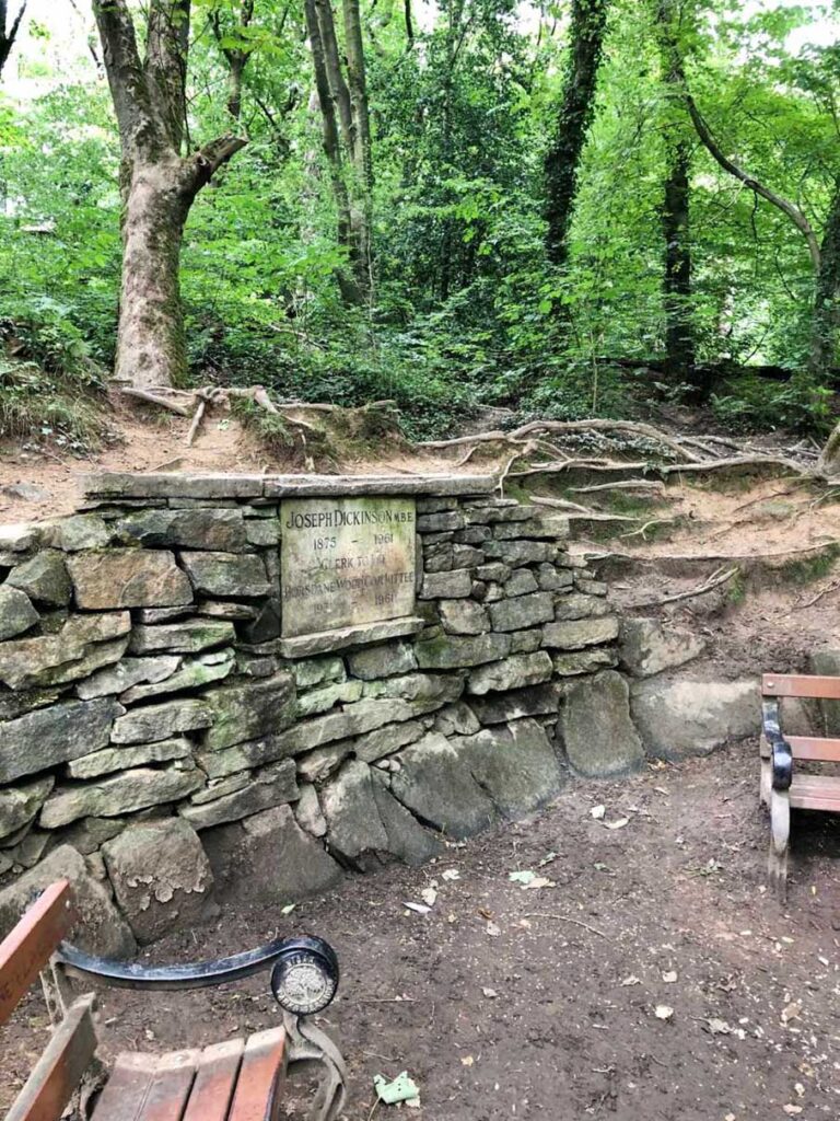
A Keepers Cottage was completed in 1937 to house the full time keeper/forester who had been appointed to manage the woodland and enforce the bye-laws.
In 1974 the land came into Wigan Metropolitan Borough Council’s control and was managed by the council Leisure Services Department. The site was designated Wigan’s first Local Nature Reserve In 1986. Borsdane Wood is also designated as Ancient Semi Natural Woodland (ASNW.) believed to have been continuous woodland cover since before 1600 AD. Borsdane Wood LNR is managed by Wigan Leisure and Culture Trust in partnership with Lancashire Wildlife Trust and the Borsdane Friends Group.
The name “Borsdane” is often confused locally with The Boars Den, a large prehistoric mound that stood near Sprodley Brook at Wrightington. It is however said the name comes from the personal or family name “Bors”. Possibly adding to the confusion, until recent maps “Borsdane” was spelled “Borsden”.
Local History
Historic monuments near Borsdane Wood
- Bretters Farm moated site and two fishponds – 9.09 km away
- Headless Cross, Grimeford – 6.32 km away
- Round cairn on Noon Hill – 8.53 km away
- Round cairn on Winter Hill – 8.82 km away
- The Moat House moated site 600m WNW of St David’s Church – 3.43 km away
- Market cross in the marketplace to the west of St Wilfrid’s Church, Standish – 7.17 km away
- Cross base on Green Lane 300m north of Strickland House Farm, Standish – 6.88 km away
- Cross base at the junction of Standish Green Lane, Standish Wood Lane and Beech Walk, 200m NNW of Strickland House Farm, Standish – 6.94 km away
- Gidlow Hall moated site, Aspull, 560m NNE of Pennington Hall – 0.32 km away
- Mabs Cross on Standishgate, 20m west of Mabs Cross School building – 4.02 km away
- Moated site at Arley Hall, Haigh near Wigan – 5.37 km away
- Cross base on Standish Wood Lane 700m south east of Standish Hall – 6.57 km away
- Morley’s Hall moated site – 9.78 km away
- Round cairn 280m west of Old Harpers Farm – 6.80 km away
- Haigh Sough mine drainage portal, 310m west of Park House – 3.44 km away