Explore The British Isles

Ouzel Hall (site of)
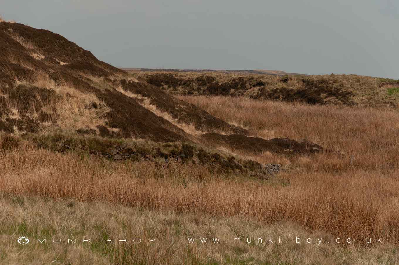
Ouzel Hall was a dwelling, presumably a farm, just on the moorland line, south of the Hole Bottom area on Winter Hill.
A water spout is shown on early maps next to Ouzel Hall that seems to have been in use by miners from Hole Bottom, in the years after site became derelict. There is also a well close by that is not shown on the earliest OS maps but is on the later. Today the well is covered by a brick structure and is possibly part of the water supply for some farms lower down the valley, along with a number of documented boreholes.
Ouzel Hall went derelict in the latter-half of the 19th Century.
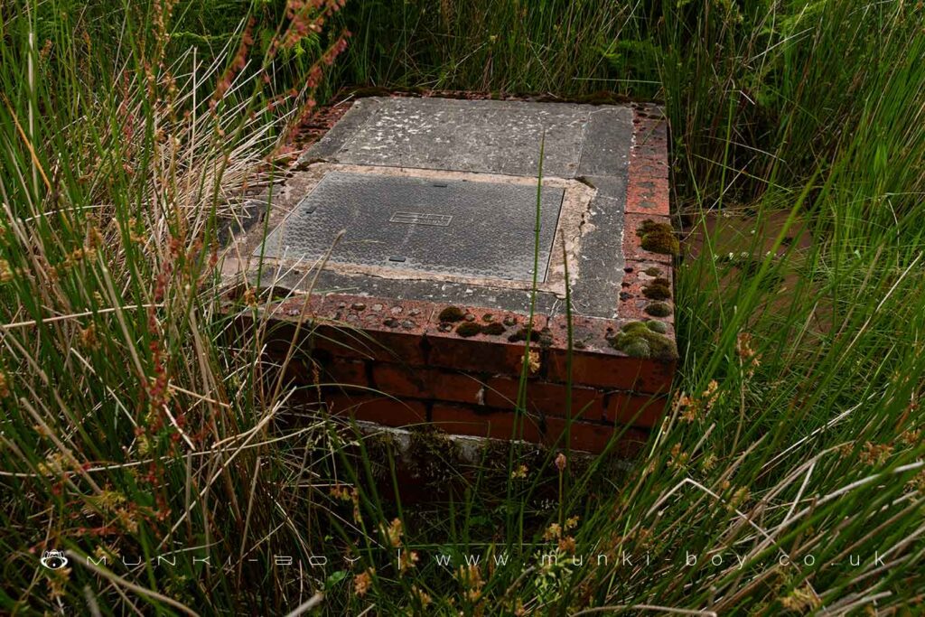
Relatively modern cover on the Old Well of Ouzel Hall
Local History
Historic monuments near Ouzel Hall (site of)
- Pike Stones chambered long cairn – 5.24 km away
- Stone circle, ring cairn and two round cairns on Cheetham Close – 6.08 km away
- Bretters Farm moated site and two fishponds – 6.55 km away
- Headless Cross, Grimeford – 4.25 km away
- Round Loaf bowl barrow on Anglezarke Moor – 5.45 km away
- Round cairn on Noon Hill – 2.25 km away
- Round cairn on Winter Hill – 1.84 km away
- The Moat House moated site 600m WNW of St David’s Church – 7.35 km away
- Steam tramway reversing triangle – 8.15 km away
- Gidlow Hall moated site, Aspull, 560m NNE of Pennington Hall – 7.18 km away
- Round cairn 280m west of Old Harpers Farm – 0.88 km away