Explore The British Isles

Higher Ridge (ruin)
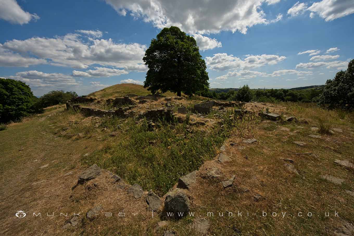
Ruins of Higher Ridge on the lower slopes of Harcles Hill.
Low walls and a clear room layout are visible at the ruins of Higher Ridge that was still a farmstead as late as the 1940’s.
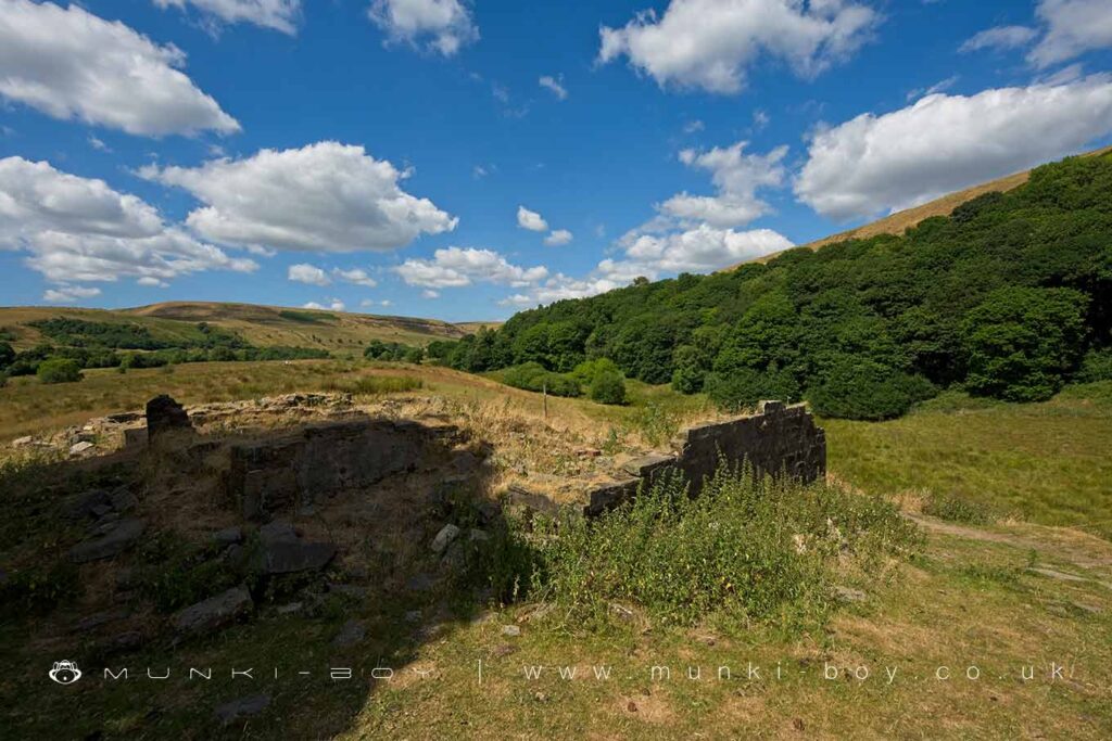
Ruined Walls of Higher Ridge
Local History
Historic monuments near Higher Ridge (ruin)
- Coking ovens and associated coal workings on Aushaw Moss 450m south west of Lower House – 4.72 km away
- Stone circle, ring cairn and two round cairns on Cheetham Close – 5.31 km away
- Roman road at Bottom o’ th’ Knotts Brow – 2.60 km away
- Higher Mill, Helmshore – 5.35 km away
- Affetside Cross at Affetside 75m north west of the Pack Horse Inn – 2.98 km away
- Promontory fort called Castlesteads on the east bank of the Irwell 550m SSE of Banks Farm – 4.33 km away
- Radcliffe Tower and site of hall 100m south west of the parish church in Radcliffe – 9.12 km away
- Medieval moated site and later fortified manor house known as Bury Castle 100m west of the parish church – 6.38 km away