Explore The British Isles

Wilderswood
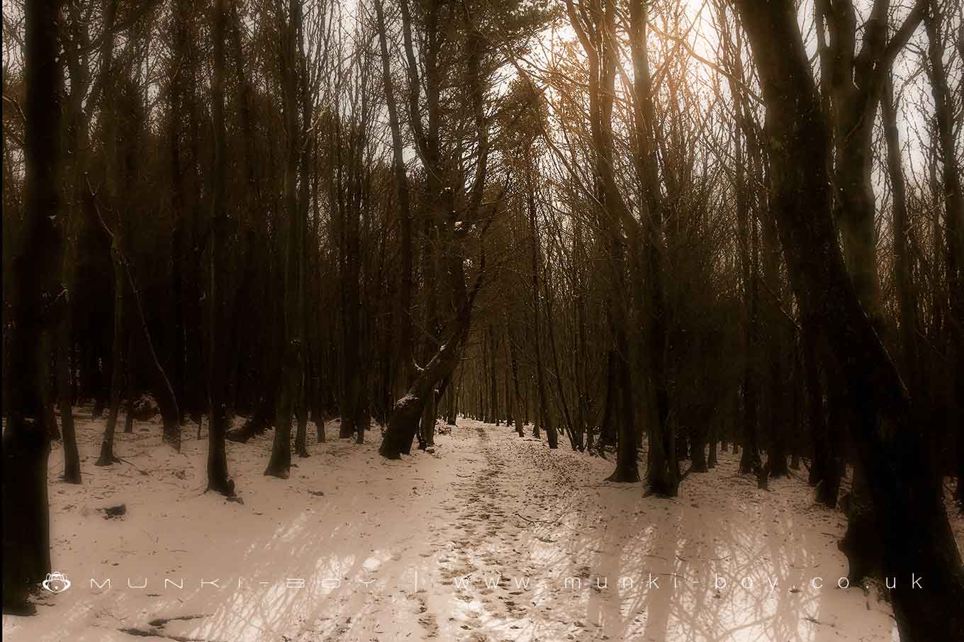
Wilderswood is a small woodland area, some mixed but much of the wood is a 20th Century pine plantation currently being cleared. Located above Horwich on the slopes of Winter Hill, Wilderswood in on the site of medieval forest land from which its name probably comes meaning wild beast wood or wild deer wood from the O.E.
Wilderswood has been heavily modified by the industry in the past with coal mining remains throughout and the ruins of old stone buildings associated with the colliery and former dwellings. The old stone walls and ruins have mellowed into the landscape and are pleasingly moss-covered.
Large areas of ground have been scored to make the pine plantation in the 1960s.
The woods have been a great place to see wildlife for many years – hopefully at least some of the magic will remain after the pines are cleared.


Local History
Historic monuments near Wilderswood
- Pike Stones chambered long cairn – 5.07 km away
- Bretters Farm moated site and two fishponds – 5.58 km away
- Headless Cross, Grimeford – 2.90 km away
- Round Loaf bowl barrow on Anglezarke Moor – 5.68 km away
- Round cairn on Noon Hill – 2.39 km away
- Round cairn on Winter Hill – 2.55 km away
- The Moat House moated site 600m WNW of St David’s Church – 5.84 km away
- Steam tramway reversing triangle – 9.40 km away
- Gidlow Hall moated site, Aspull, 560m NNE of Pennington Hall – 5.97 km away
- Mabs Cross on Standishgate, 20m west of Mabs Cross School building – 8.86 km away
- Moated site at Arley Hall, Haigh near Wigan – 6.17 km away
- Round cairn 280m west of Old Harpers Farm – 1.55 km away
- Haigh Sough mine drainage portal, 310m west of Park House – 7.83 km away