Explore The British Isles

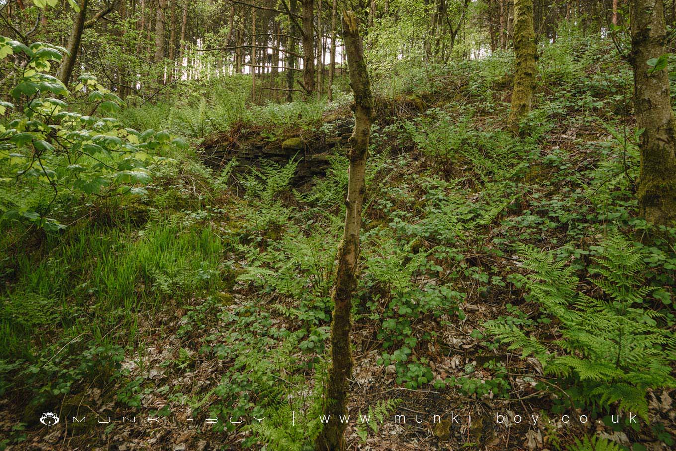
Rough Bank Colliery (ruin)
The overgrown remains of an old colliery that dates back to at least the early 19th Century where two pits where active, one beside the current footpath and one in the fields above Rag Hole Clough to the Northwest.
Still active in the first half of the 20th Century with a small tramway or haulage leading up the slope towards the higher shaft which looks today like a fenced, large hole on Google Earth – impressive check it out.
The site of the old Rough Bank Colliery is a small woodland called Rough Bank Wood on the west side of the footpath leading from Ogden Reservoir towards the ruins of Rag Hole and looks to be very overgrown but some remaining stonework can be glimpsed through the trees.
Local History
Historic monuments near Rough Bank Colliery (ruin)
- Castleshaw Roman forts, 250m west of Castle Shaw Farm – 6.19 km away
- Ellenroad Ring Mill – 2.10 km away
- Blackstone Edge Roman road – 4.28 km away
- Blackstone Edge Roman road – 4.28 km away
- March Barn Bridge, Rochdale Canal – 6.33 km away
- Bowl barrow 190m NNE of Knarr Barn – 6.30 km away