Explore The British Isles

Kirkless Wood
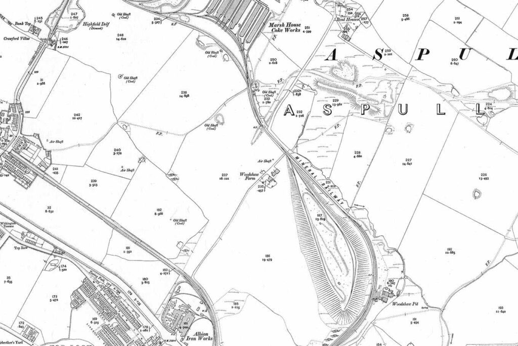
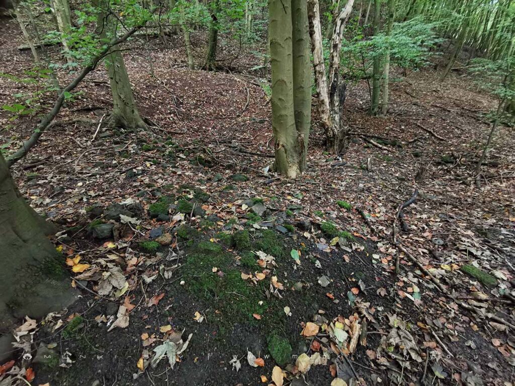
Once fairly level ground and without woodland in the 19th Century, the northern half of Kirkless Wood is now and irregular shaped hill covered in trees. Once the site of a house or farm named Woodshaw Field that went derelict in the early 20th Century.
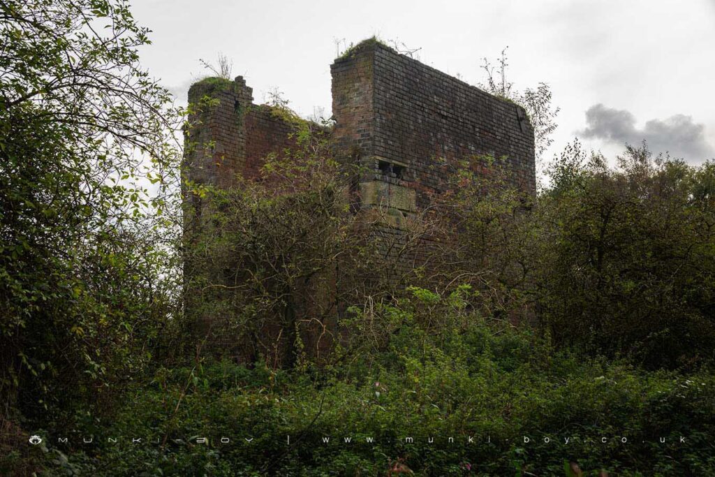
The hill seems to be a large spoil heap from the Marsh House Coke Works to the Northwest that was a large concern in the early 20th Century and sent spoil down a purpose built railway to be dumped. The coke works dwindled by the latter half of the century but by this time the hill had grown so large an aerial cable was in use to tip further waste on top.
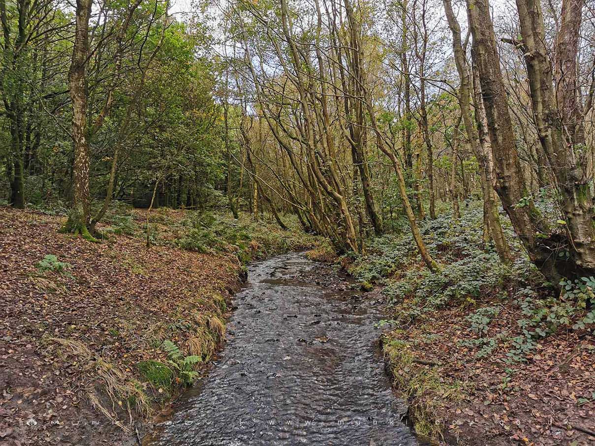
The whole area of woodland is post industrial landscape, reclaimed by nature over the last century, although parts of the woodland look ancient with moss-covered Oak.
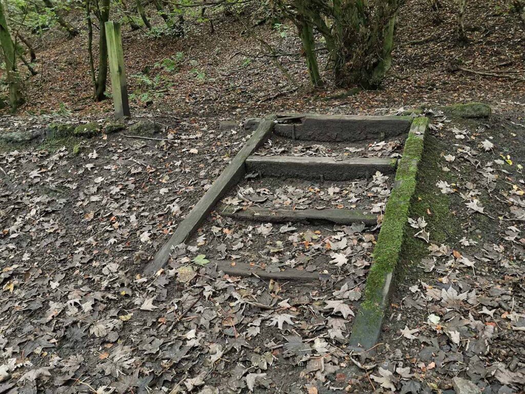
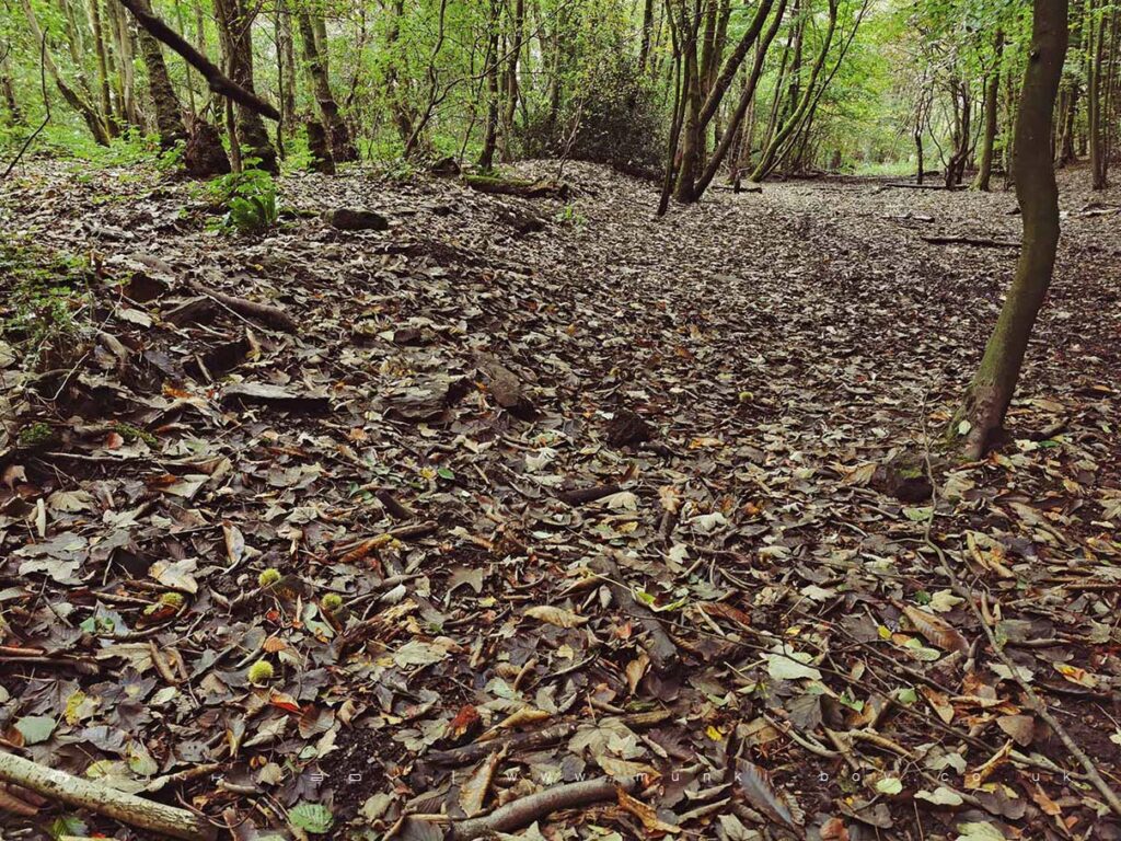
Along the western edge of the woods there is an almost straight path down towards the canal that was once a tramway for the old Kirkless Colliery. The North and East sides of the wood were enclosed by a “mineral railway”, used to transport coal and other ore from nearby collieries including Woodshaw Colliery on the far East side of the woods. The old railway bed can be seen and it is this which the public footpath follows. There are a few remains including steps and other modern footpath furniture made from old, wooden sleepers.
Many old collieries and pits dot the surrounding landscape and the mineral railways in the area were extensive, we might imagine due to the proximity of the canal to the Southeast, though most were gone by the early 1900s.

Local History
Historic monuments near Kirkless Wood
- Bretters Farm moated site and two fishponds – 8.48 km away
- Headless Cross, Grimeford – 5.99 km away
- Round cairn on Noon Hill – 8.63 km away
- Round cairn on Winter Hill – 9.04 km away
- The Moat House moated site 600m WNW of St David’s Church – 2.37 km away
- Market cross in the marketplace to the west of St Wilfrid’s Church, Standish – 5.91 km away
- Cross base on Green Lane 300m north of Strickland House Farm, Standish – 5.59 km away
- Cross base at the junction of Standish Green Lane, Standish Wood Lane and Beech Walk, 200m NNW of Strickland House Farm, Standish – 5.64 km away
- Gidlow Hall moated site, Aspull, 560m NNE of Pennington Hall – 1.27 km away
- Mabs Cross on Standishgate, 20m west of Mabs Cross School building – 2.83 km away
- Moated site at Arley Hall, Haigh near Wigan – 4.32 km away
- Cross base on Standish Wood Lane 700m south east of Standish Hall – 5.26 km away
- Round cairn 280m west of Old Harpers Farm – 7.33 km away
- Haigh Sough mine drainage portal, 310m west of Park House – 2.14 km away