Explore The British Isles

Lancashire Union Joint Line
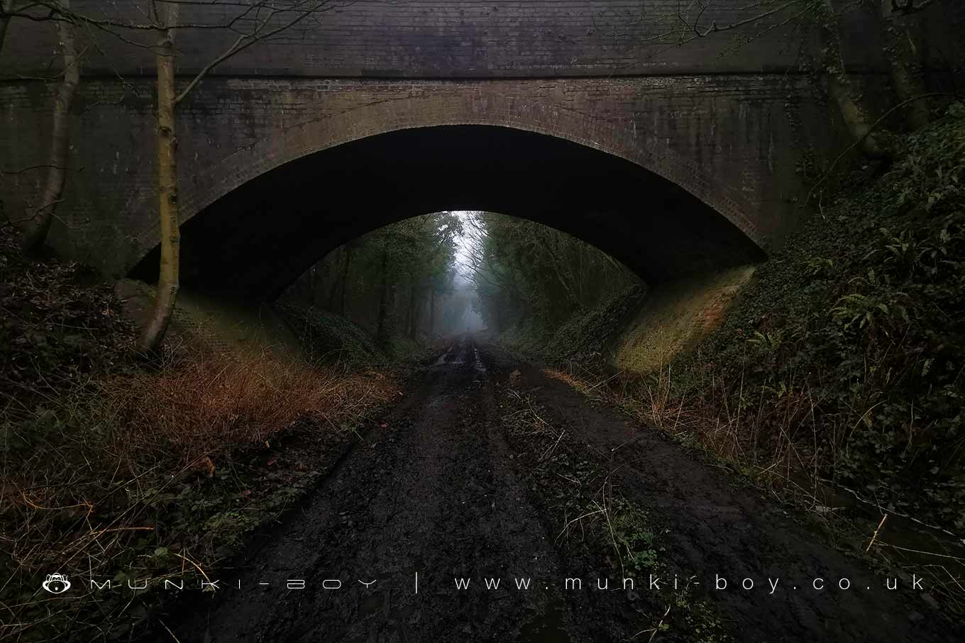
Now a walking path, the Lancashire Union Joint Line was opened in 1869 in part to give rail access to the local collieries to ship coal. The Lancashire Union Joint Line was later incorporated into the London and North Western Railway until passenger services ended in 1948 and the line was closed finally in 1971.
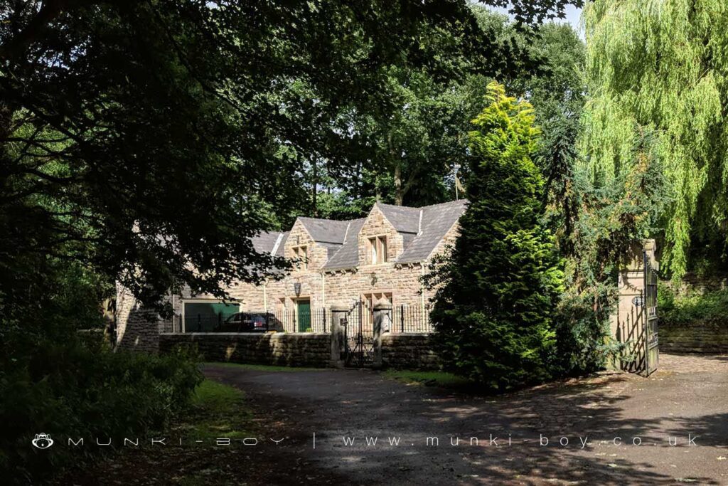
Red Rock Station which operated for goods, passengers and livestock is now preserved as a well-kept, private residence beside the footpath and has a plaque above the door.
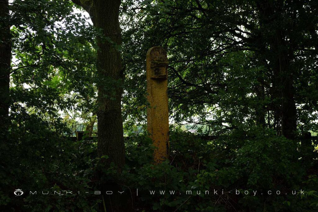
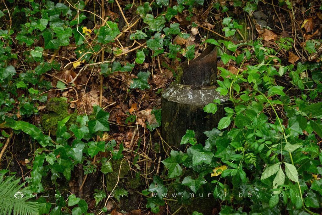
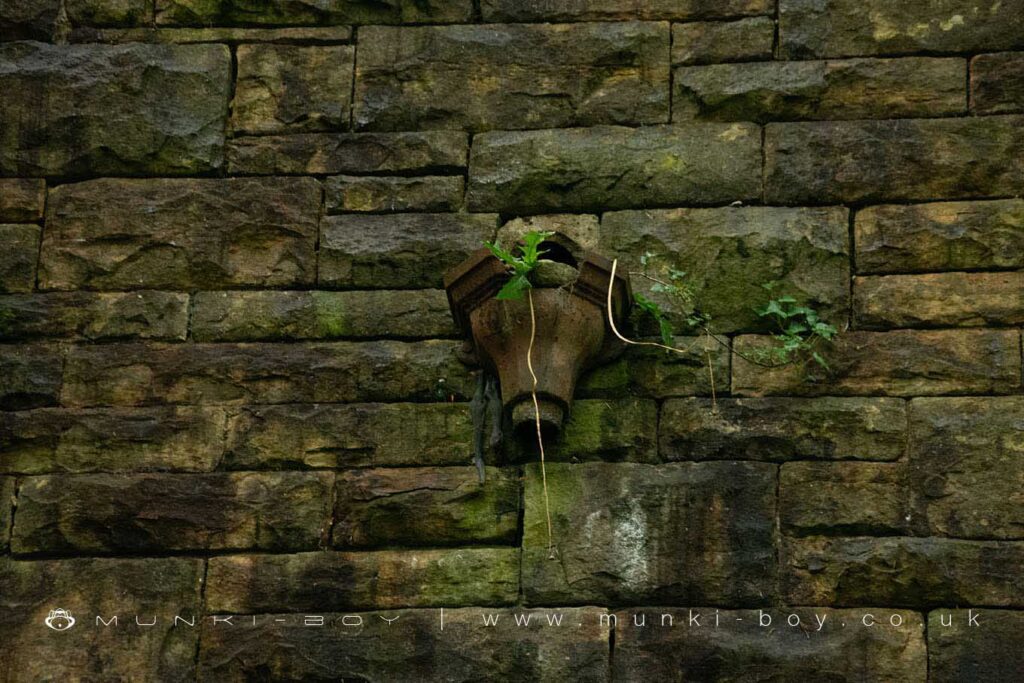
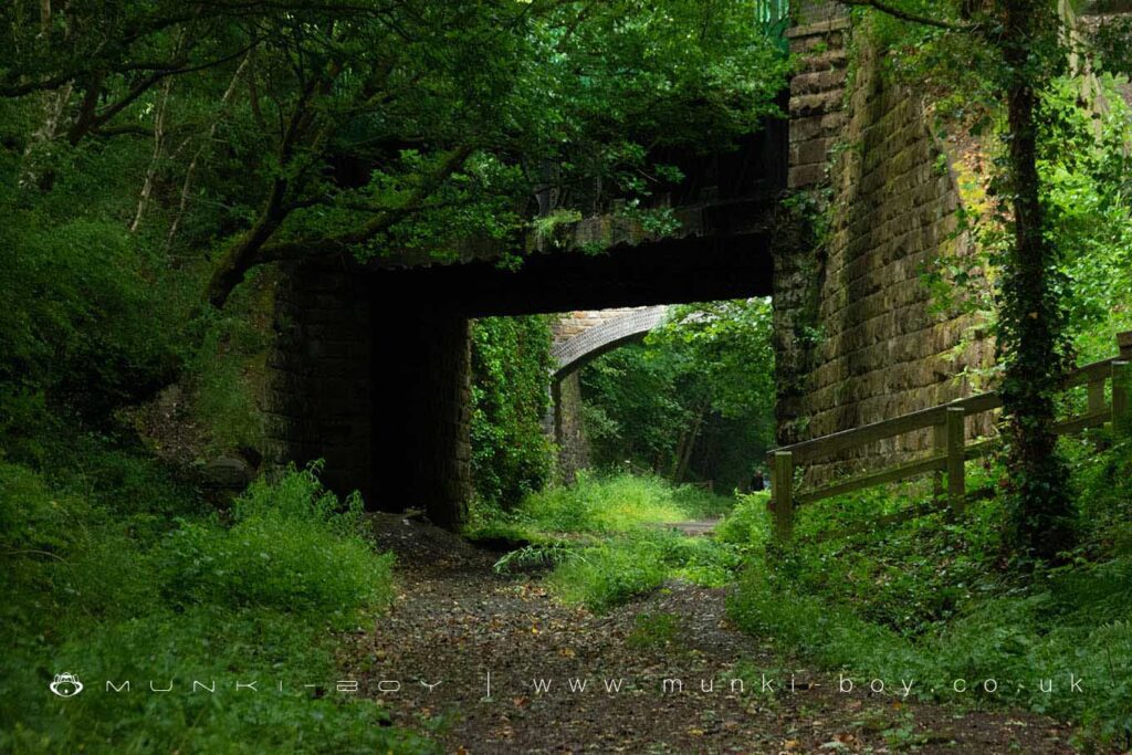
The trackbed itself – which originally accommodated double tracks with platforms either side – is situated between high embankments, now heavily wooded with much ivy and wildflowers in season. There are numerous remaining fragments of railway furniture found along the route and some gateposts can be seen to be fashioned from old railway sleepers.
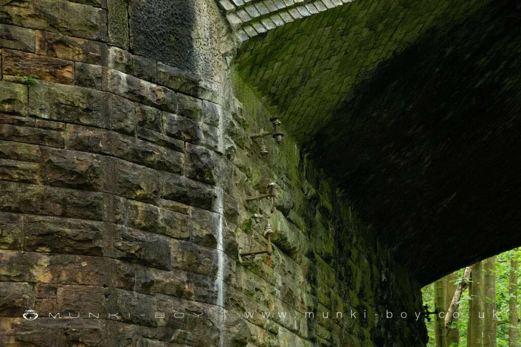
There are many bridges of varied and interesting architecture, including an iron aqueduct supporting the Leeds and Liverpool Canal that is still navigable and in use today – although there are a few drips when passing below.
The car park (off the B5239) provided for visitors is on the site of the old goods sidings and warehouse.
Local History
Historic monuments near Lancashire Union Joint Line
- Up Holland Benedictine priory – 8.39 km away
- Headless Cross, Grimeford – 4.01 km away
- Bretters Farm moated site and two fishponds – 5.15 km away
- Pike Stones chambered long cairn – 7.83 km away
- Round cairn on Noon Hill – 7.42 km away
- Round Loaf bowl barrow on Anglezarke Moor – 9.21 km away
- Bradley Hall, moated site, fishponds and connecting channels – 8.95 km away
- The Moat House moated site 600m WNW of St David’s Church – 1.79 km away
- Cross base on Standish Wood Lane 700m south east of Standish Hall – 3.04 km away
- Moated site at Arley Hall, Haigh near Wigan – 0.26 km away
- Mabs Cross on Standishgate, 20m west of Mabs Cross School building – 4.15 km away
- Gidlow Hall moated site, Aspull, 560m NNE of Pennington Hall – 4.99 km away
- Cross base at the junction of Standish Green Lane, Standish Wood Lane and Beech Walk, 200m NNW of Strickland House Farm, Standish – 2.80 km away
- Cross base on Green Lane 300m north of Strickland House Farm, Standish – 2.67 km away
- Market cross in the marketplace to the west of St Wilfrid’s Church, Standish – 2.57 km away
- Winstanley moated site and five fishponds – 8.30 km away
- Haigh Sough mine drainage portal, 310m west of Park House – 3.27 km away