Explore The British Isles

The Blue Lagoon
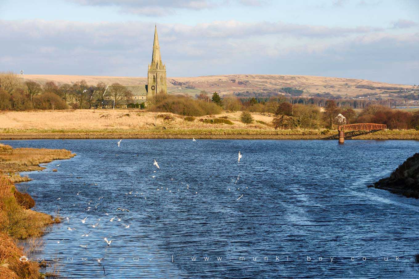
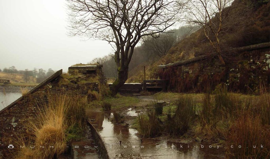
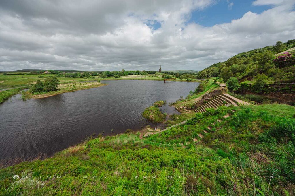
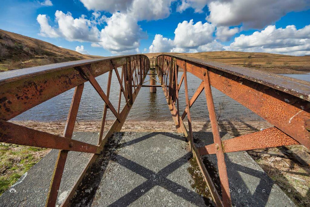
The Blue Lagoon as it is known locally, was Ward’s reservoir and supplied water for the industrial mills below Belmont. The Blue Lagoon was drained in 2010 due to fears for it’s safety with regard to dangerous flood water levels in the future. The lake was “saved” by local investment and an agreement was made for the water authority to divert the water from the catchment area on the hill above to bypass the old reservoir. The reservoir itself is still fed by rainwater and the small Horden Brook from the west, which also drains from the east bank of the lake. Water levels no vary from very shallow to around as high as it was years ago. This has also preserved the much-loved waterfall inflow from the Great Gutter on Winter Hill, with just the stone “cascade” at the very bottom being left dry except in very wet weather.
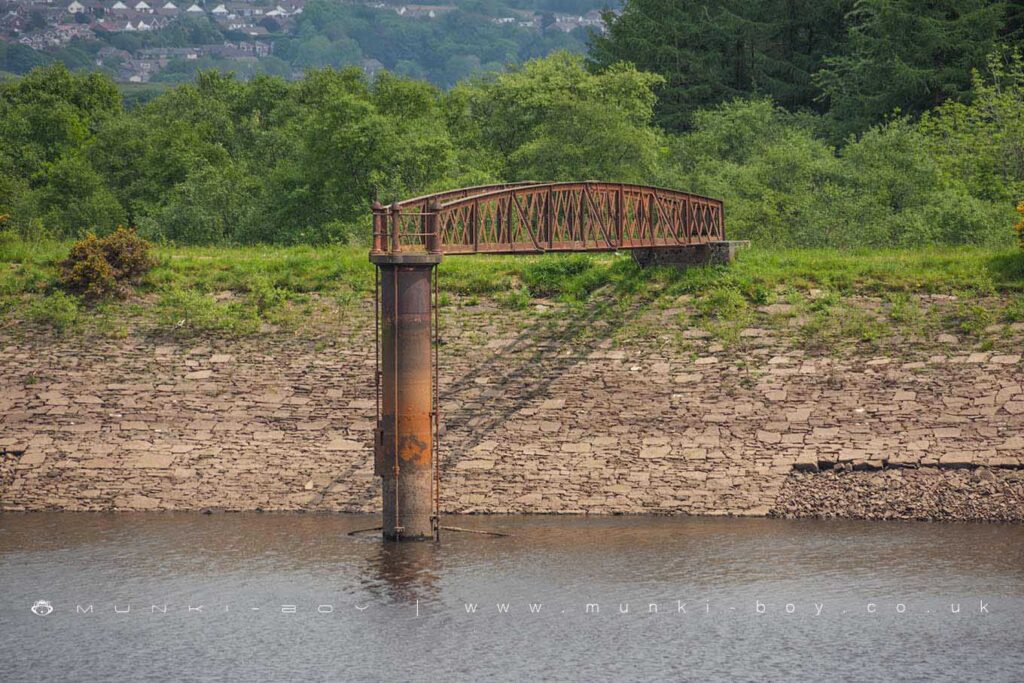
The re-configuration of the water catchment to bypass the reservoir was accomplished in-part by use of ‘forgotten’ iron pipes that were apparently re-discovered when old plans of the reservoir were examined. Ward’s reservoir had been partially re-built around 1900 to enlarge capacity. I think this might have marked a shift from the reservoir being used by mills, to its being re-purposed for drinking water. The network of large-diameter pipes that had been used previously to control the flow of water to bypass the reservoir or not were probably from this time. The old mill leat that once carried water from the original reservoir can still be seen from the eastern bank of the reservoir leading off towards the church at Belmont.
“The Blue Lagoon can hold 150,000 cubic metres of water and has a surface area of 28,000 square metres when full. A large part of the reservoir is only a few feet deep, but it sinks to a depth of about 80ft at its lowest point. Mr Smith [Belmont Holdings] has said that he would be prepared to hand the reservoir over to a trust.” from Lancashire Telegraph

Local History
Historic monuments near The Blue Lagoon
- Coking ovens and associated coal workings on Aushaw Moss 450m south west of Lower House – 7.49 km away
- Pike Stones chambered long cairn – 4.49 km away
- Stone circle, ring cairn and two round cairns on Cheetham Close – 4.62 km away
- Headless Cross, Grimeford – 5.82 km away
- Round Loaf bowl barrow on Anglezarke Moor – 3.96 km away
- Round cairn on Noon Hill – 2.45 km away
- Round cairn on Winter Hill – 1.64 km away
- Steam tramway reversing triangle – 5.47 km away
- Gidlow Hall moated site, Aspull, 560m NNE of Pennington Hall – 9.85 km away
- Round cairn 280m west of Old Harpers Farm – 3.52 km away