Explore The British Isles

Barrow Bridge
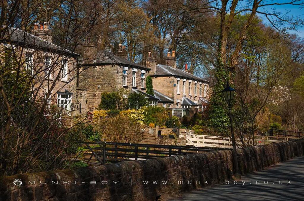
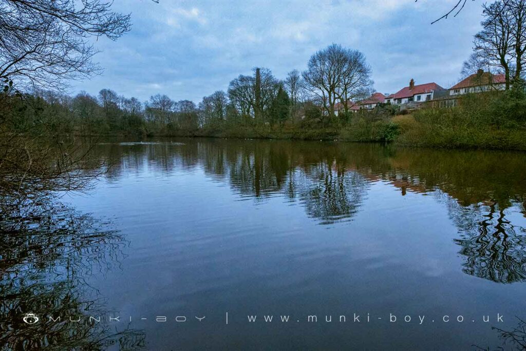
Barrow Bridge is a small village to the North of Bolton, once no more than a few farms the village was twice expanded, firstly around an early cotton mill and pond that was situated close to the current car park. The village was later expanded to house employees of the mills that once stood on the East bank of the brook in the centre of the village. The keystone of the old engine house is placed in the centre of the bus terminus and another ornamental stone from one of the old buildings is placed within the car park.
It’s possible to see the layouts of the larger buildings on the East side of the stream together with the base of one old chimney still upstanding, a second can be seen as a shape on the ground nearby.
When Dean Mills closed in 1877 the cottages at Barrow Bridge were left empty and became known as the ‘deserted village’.
The old mill pond occupied the grass field adjacent to the car park and was used as a popular boating lake up until the mid-20th Century with the pond itself remaining for several decades after.
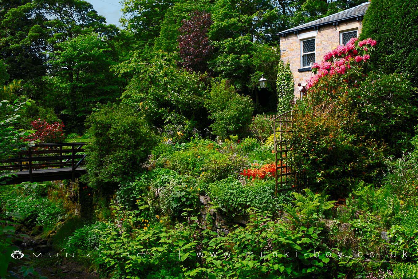
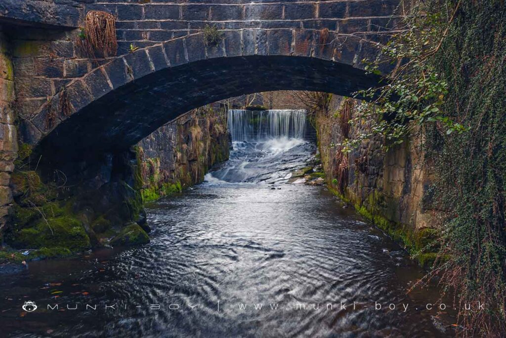
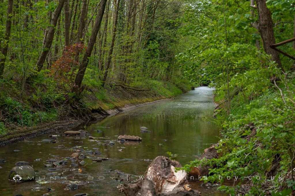
The Dean Brook that once supplied water and power to the mills runs through the village and several cottages and a chapel are accessed over small bridges. The stream itself is in a deep trench by the time it reaches the village. Near the chapel there is a small weir that causes a pretty little waterfall. Here the bedrock can be seen in the stream bed. After the chapel bridge the bed of the brook has been cemented over sometime in the 1960’s as a flood defence.
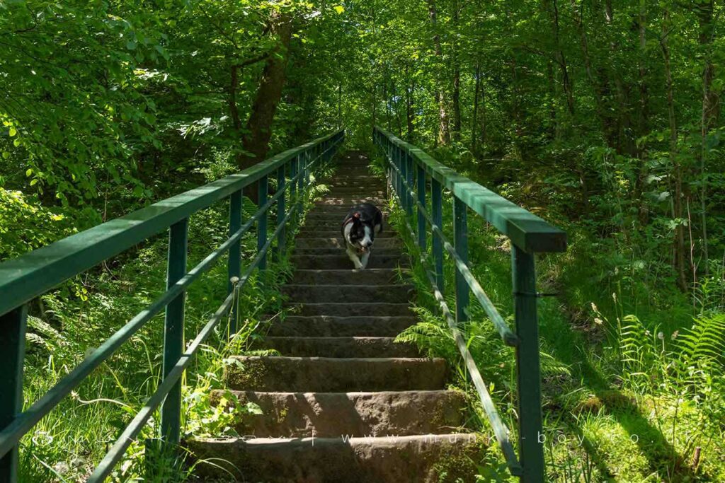
Without it’s boating lake and village shop – long since closed, Barrow Bridge is now a residential area and a good place to start walks up onto the moors. Years ago, Barrow Bridge was often entered into the Britain in Bloom competition and the village was adorned with flowers, sadly this doesn’t seem to happen anymore, but the gardens of the cottages are filled with flowers in summertime.

Local History
Historic monuments near Barrow Bridge
- Coking ovens and associated coal workings on Aushaw Moss 450m south west of Lower House – 9.10 km away
- Pike Stones chambered long cairn – 8.37 km away
- Stone circle, ring cairn and two round cairns on Cheetham Close – 5.01 km away
- Round Loaf bowl barrow on Anglezarke Moor – 8.32 km away
- Round cairn on Noon Hill – 5.41 km away
- Round cairn on Winter Hill – 4.77 km away
- Roman road at Bottom o’ th’ Knotts Brow – 6.66 km away
- Steam tramway reversing triangle – 8.93 km away
- Affetside Cross at Affetside 75m north west of the Pack Horse Inn – 6.78 km away
- Gidlow Hall moated site, Aspull, 560m NNE of Pennington Hall – 7.91 km away
- Round cairn 280m west of Old Harpers Farm – 2.77 km away