Explore The British Isles

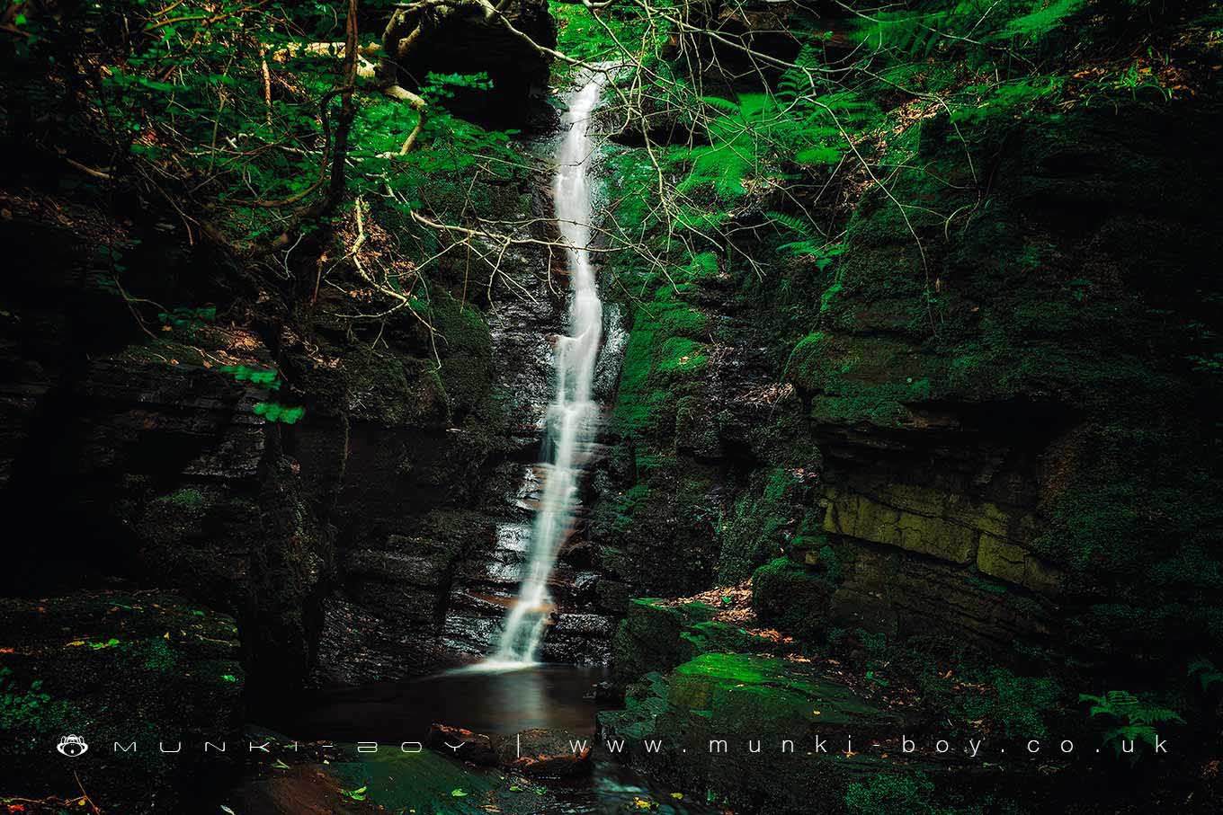
Crooked Edge Waterfall
The Crooked Edge waterfall is located just above the confluence of the Crooked Edge Brook and the River Douglas and is adjacent to the larger Tigers Clough waterfall.
The area is often overgrown and the view from downstream is often choked with large logs and sections of fallen trees washed down after storms.
Crooked Edge waterfall is often disappointingly dry but on a good day the small rocky alcove into which the water falls can be delightfully verdant.
As mentioned elsewhere the area can be plagued by litter.
Local History
Historic monuments near Crooked Edge Waterfall
- Pike Stones chambered long cairn – 4.74 km away
- Bretters Farm moated site and two fishponds – 5.12 km away
- Headless Cross, Grimeford – 2.44 km away
- Round Loaf bowl barrow on Anglezarke Moor – 5.45 km away
- Round cairn on Noon Hill – 2.25 km away
- Round cairn on Winter Hill – 2.57 km away
- The Moat House moated site 600m WNW of St David’s Church – 5.60 km away
- Steam tramway reversing triangle – 9.50 km away
- Gidlow Hall moated site, Aspull, 560m NNE of Pennington Hall – 5.99 km away
- Mabs Cross on Standishgate, 20m west of Mabs Cross School building – 8.69 km away
- Moated site at Arley Hall, Haigh near Wigan – 5.82 km away
- Round cairn 280m west of Old Harpers Farm – 2.01 km away
- Haigh Sough mine drainage portal, 310m west of Park House – 7.64 km away