Explore The British Isles

Raveden Clough
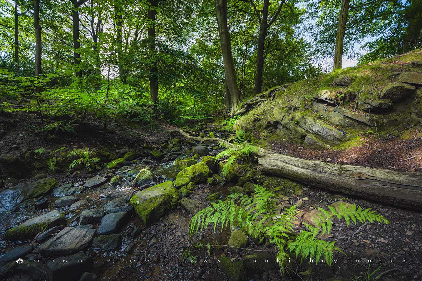
A small wooded area along one of or perhaps the “original” Raveden Brook.
The little stream, often completely dry in the Summer, has caved down to the bedrock in many places with probably help from a few geological faults giving the area an interesting look. Woodland is mostly deciduous with a lot of leaf litter, fallen trees and ferns.
There are a couple of small waterfalls nearby but not worth the bother if you aren’t used to wet, rocky scrambles – although it’s much easier, albeit pointless when the stream is dry.
A good area for a quick dog walk, but it’s easy to join up walks to the other surrounding woodland and Smithills Hall.
Local History
Historic monuments near Raveden Clough
- Coking ovens and associated coal workings on Aushaw Moss 450m south west of Lower House – 8.10 km away
- Stone circle, ring cairn and two round cairns on Cheetham Close – 4.00 km away
- Round Loaf bowl barrow on Anglezarke Moor – 8.39 km away
- Round cairn on Noon Hill – 5.76 km away
- Round cairn on Winter Hill – 5.01 km away
- Roman road at Bottom o’ th’ Knotts Brow – 5.58 km away
- Steam tramway reversing triangle – 8.21 km away
- Affetside Cross at Affetside 75m north west of the Pack Horse Inn – 5.78 km away
- Ringley Old Bridge – 9.56 km away
- Round cairn 280m west of Old Harpers Farm – 3.52 km away