Explore The British Isles

The Naze
The Naze rises to a plateau above Whittlestone Head and Wayoh Reservoir and is noticeably modified by industry. A large disused quarry and even larger looking spoil create the outline of the hill most often seen.
The Naze has been mined, quarried both by surface extraction and underground tunneling, polluted by coke manufacture and also used for large-scale peat cutting. I don’t think there’s any part of the hill that doesn’t feature at least one form of industrial archaeology, for those that like that kind of thing. Of course the whole hill has returned to nature now with the larger part open access and plenty of footpaths across the rest.
Local History
Historic monuments near The Naze
- Coking ovens and associated coal workings on Aushaw Moss 450m south west of Lower House – 0.68 km away
- Remains of Aspen Colliery, associated beehive coking ovens and canal basin – 9.45 km away
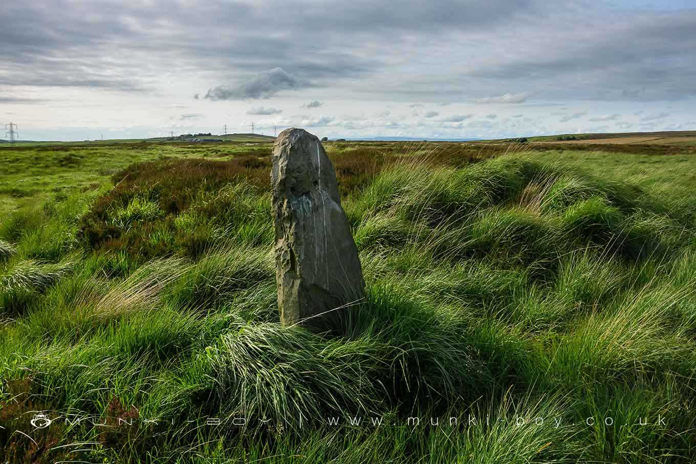
- Stone circle, ring cairn and two round cairns on Cheetham Close – 3.46 km away
- Roman road at Bottom o’ th’ Knotts Brow – 3.90 km away
- Higher Mill, Helmshore – 5.31 km away
- Steam tramway reversing triangle – 3.52 km away
- Affetside Cross at Affetside 75m north west of the Pack Horse Inn – 5.93 km away