Explore The British Isles

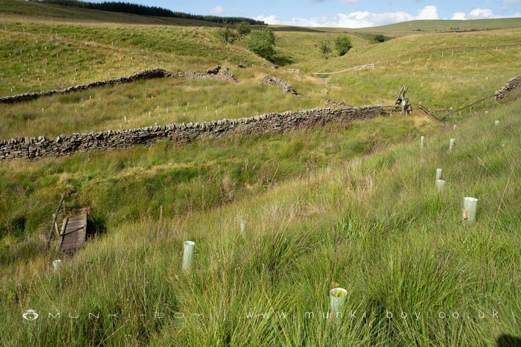
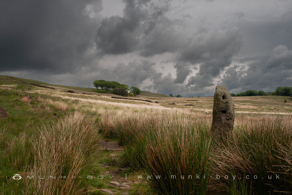
Anglezarke
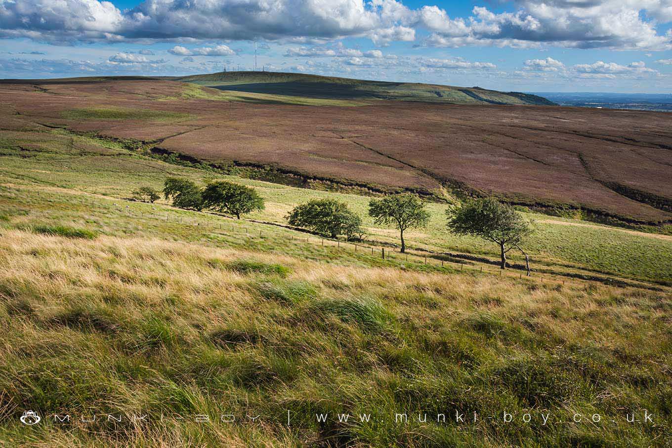
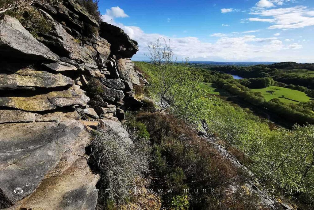
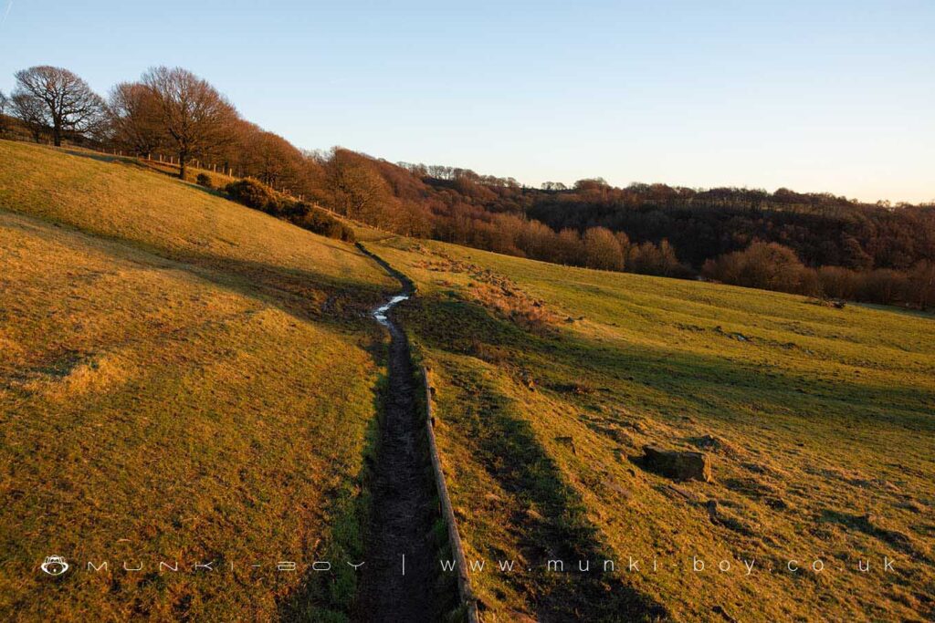
Anglezarke is just north of Winter Hill and contains the areas of next highest ground – a wide expanse of wild moorland cut by interesting valleys and streams, most notably the Limestone Brook and Leadmines Clough.
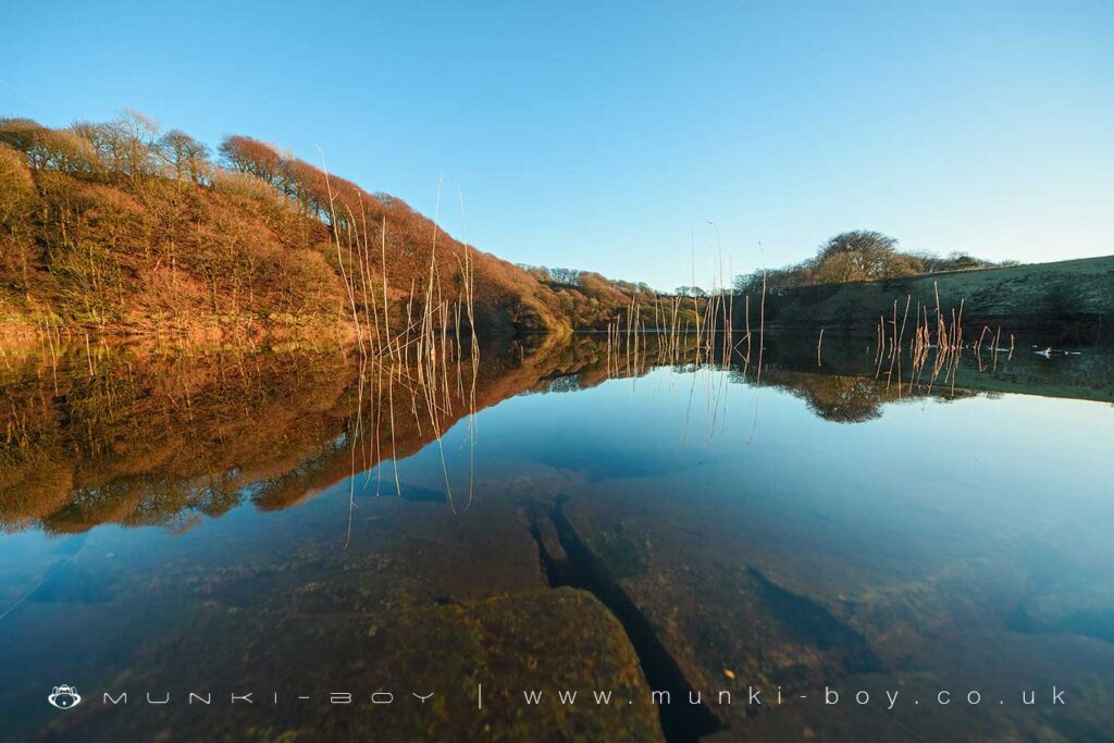
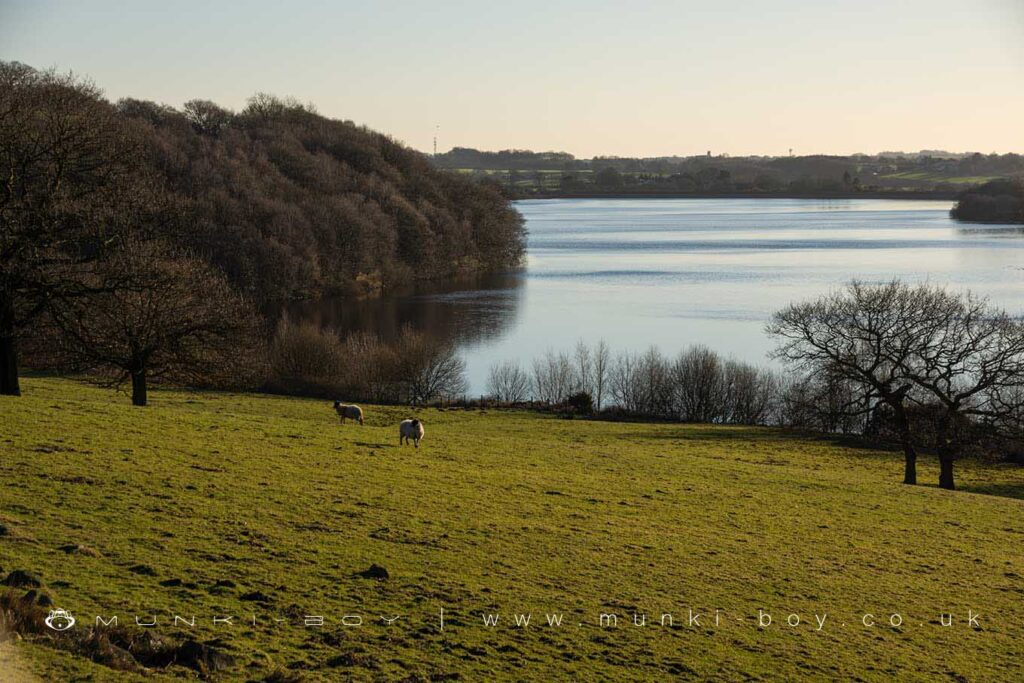
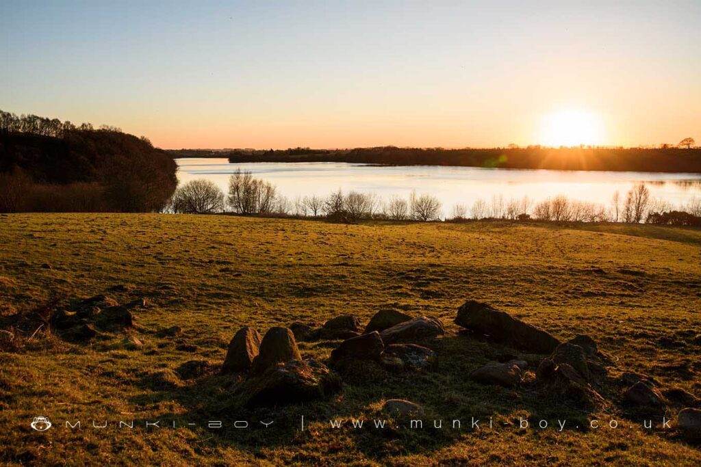
The Anglezarke Reservoir is most northerly of the three “Rivington Lakes”, arguably the most scenic of the three and the most peaceful – being away from the tourists. There is a nice nature walk on the eastern shore below a fantastic viewpoint.
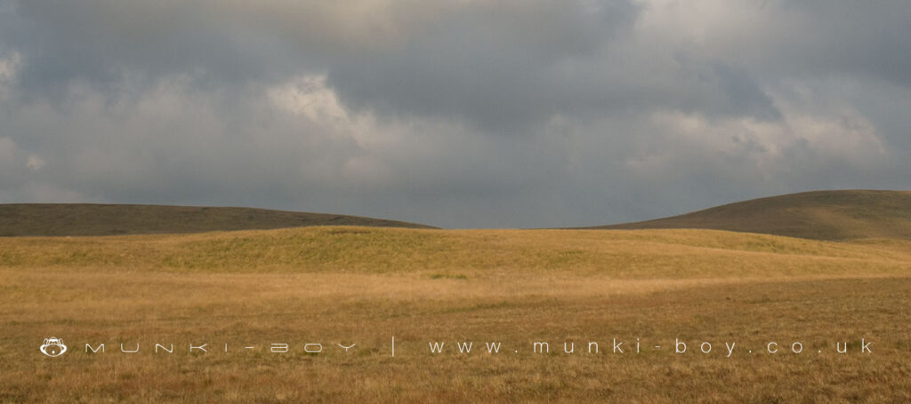
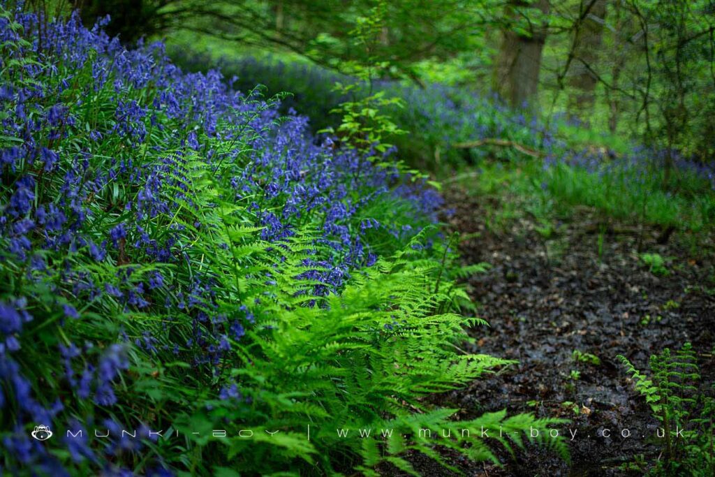
Anglezarke Moor as the upland area is called is ‘proper’ moorland but there are plenty of paths to follow and interesting things to find along the way.
Local History
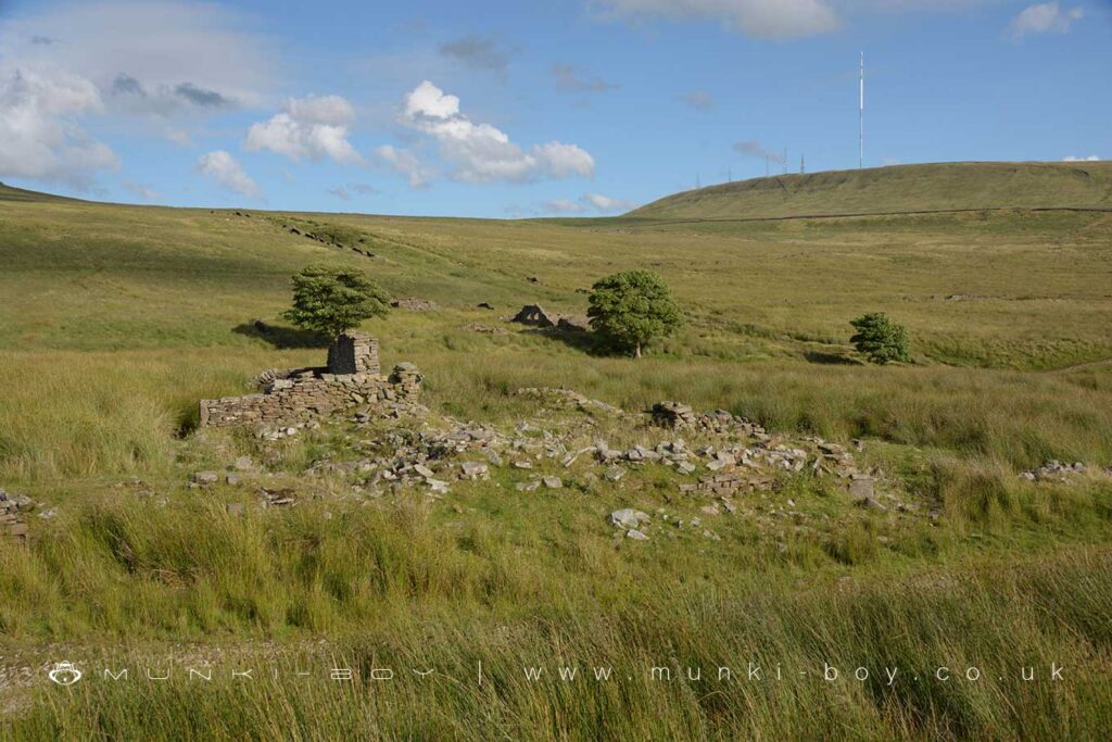
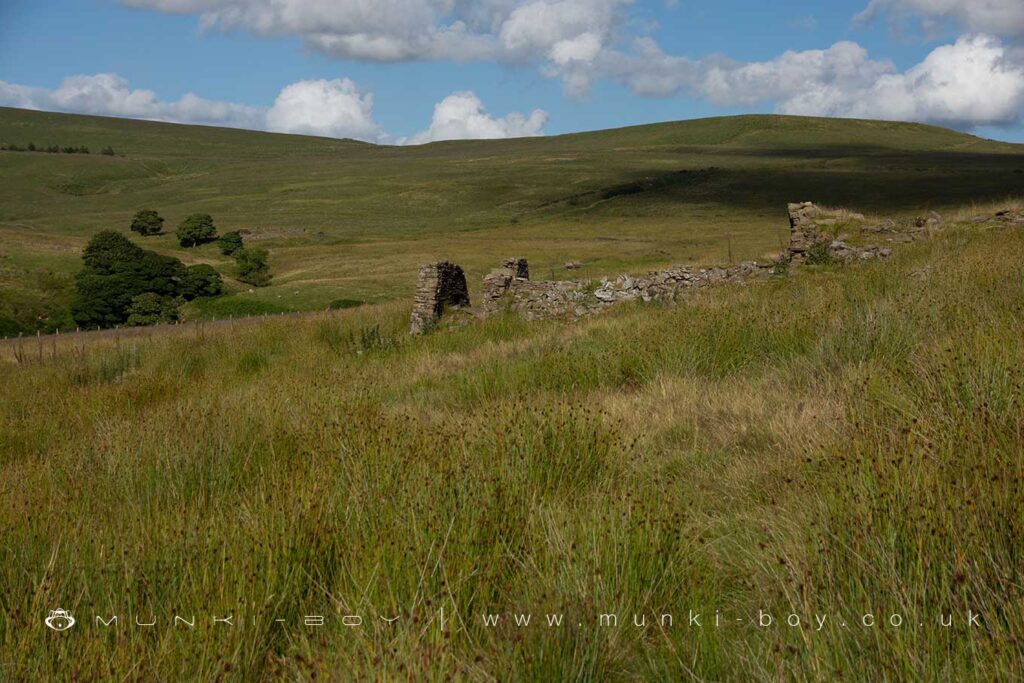
Historic monuments near Anglezarke
- Moated site of Clayton Hall, adjacent fishponds and channels – 6.36 km away
- Headless Cross, Grimeford – 4.69 km away
- Bretters Farm moated site and two fishponds – 2.45 km away
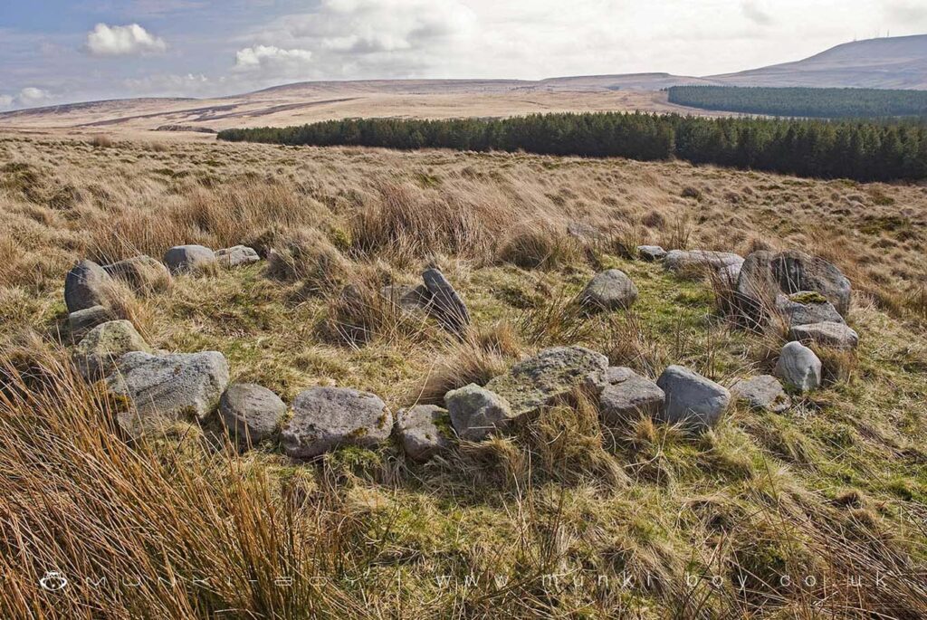
- Pike Stones chambered long cairn – 1.70 km away
- Round cairn on Winter Hill – 5.21 km away
- Round cairn on Noon Hill – 4.49 km away
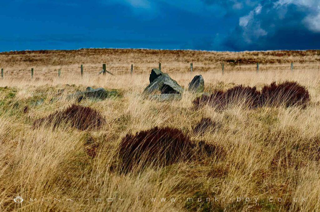
- Round Loaf bowl barrow on Anglezarke Moor – 2.78 km away
- The Moat House moated site 600m WNW of St David’s Church – 8.58 km away
- Moated site at Arley Hall, Haigh near Wigan – 7.29 km away
- Cross base at the junction of Standish Green Lane, Standish Wood Lane and Beech Walk, 200m NNW of Strickland House Farm, Standish – 9.46 km away
- Cross base on Green Lane 300m north of Strickland House Farm, Standish – 9.32 km away
- Market cross in the marketplace to the west of St Wilfrid’s Church, Standish – 8.80 km away
- Round cairn 280m west of Old Harpers Farm – 7.40 km away