Explore The British Isles

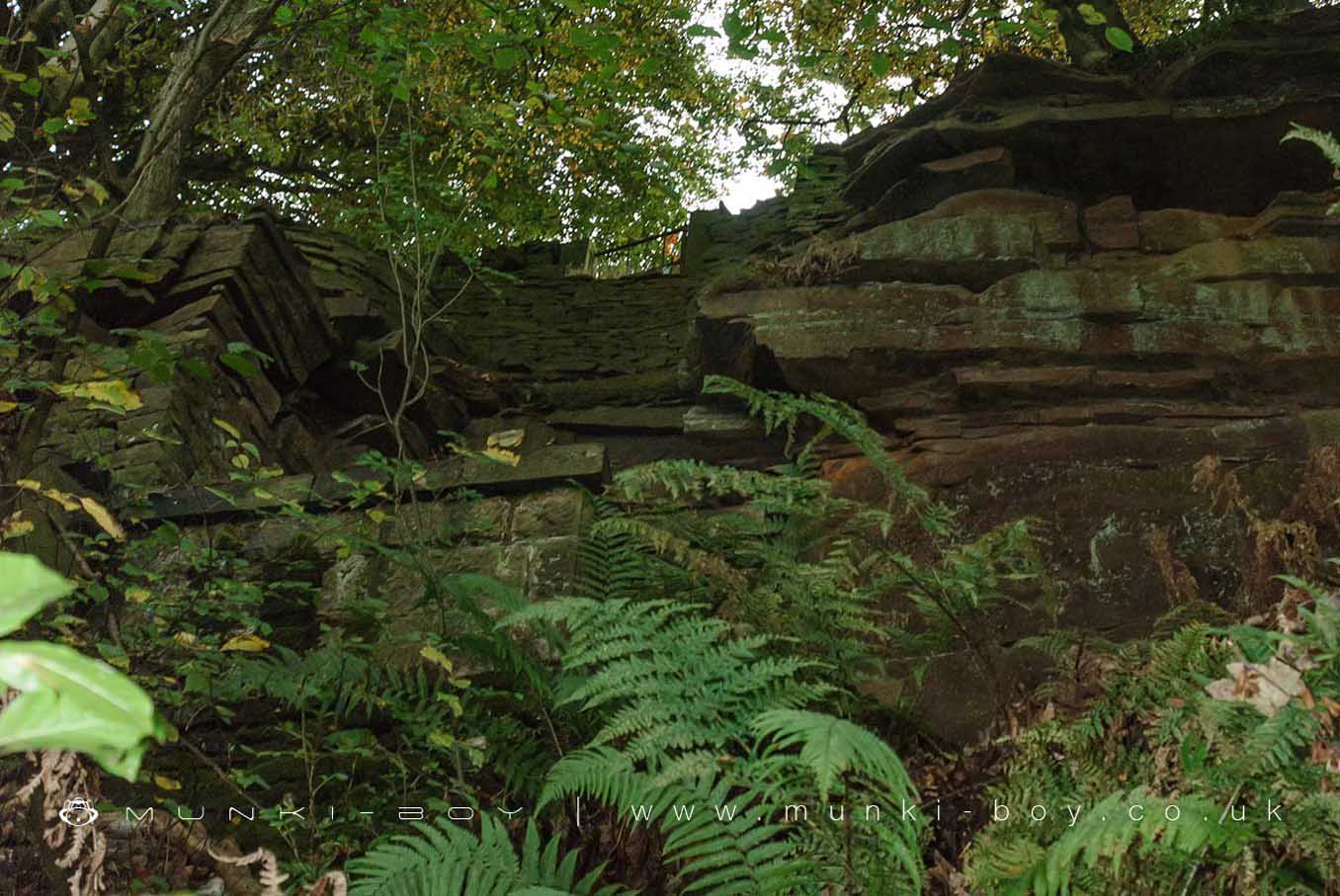
Jacob's Ladder (ruin)
The stone remains that used to support a series of iron ladders used to transport labour and materials down from the Moor Road to High Bullough during construction of the reservoir.
The lower section near the footpath has a series of stone steps but the base of the ladder platforms can be difficult to reach; the slope is steep and sometimes slippery. The original gateway at the top of the ladder is gone but a small, gated access through the dry stone wall can still be seen opposite Jepson’s Farm.
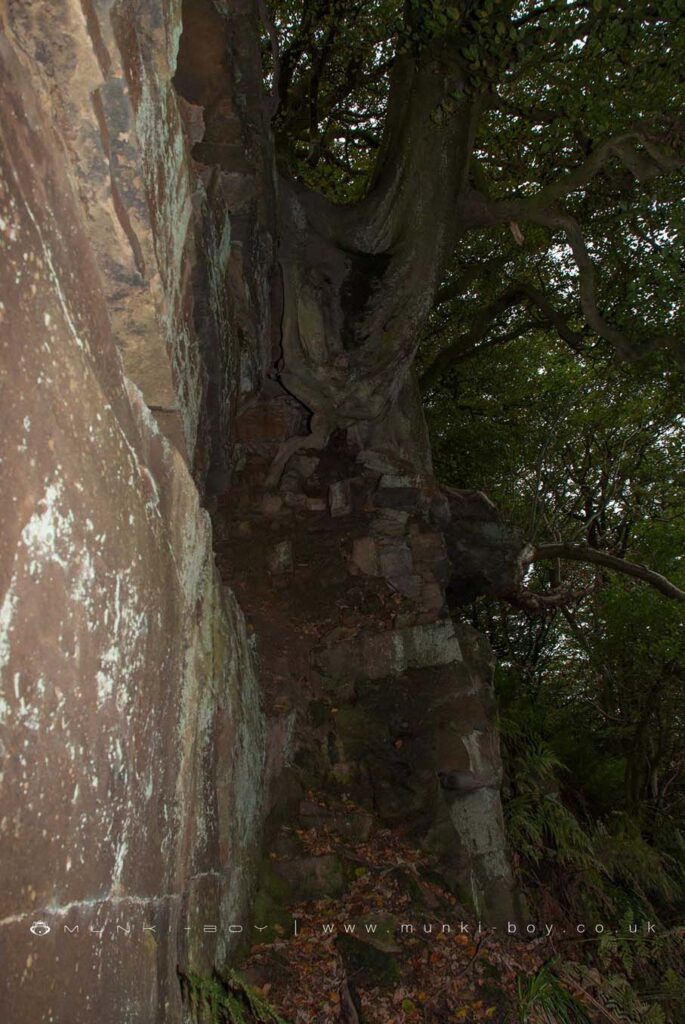
Bedrock at the Bottom of Jacob's Ladder
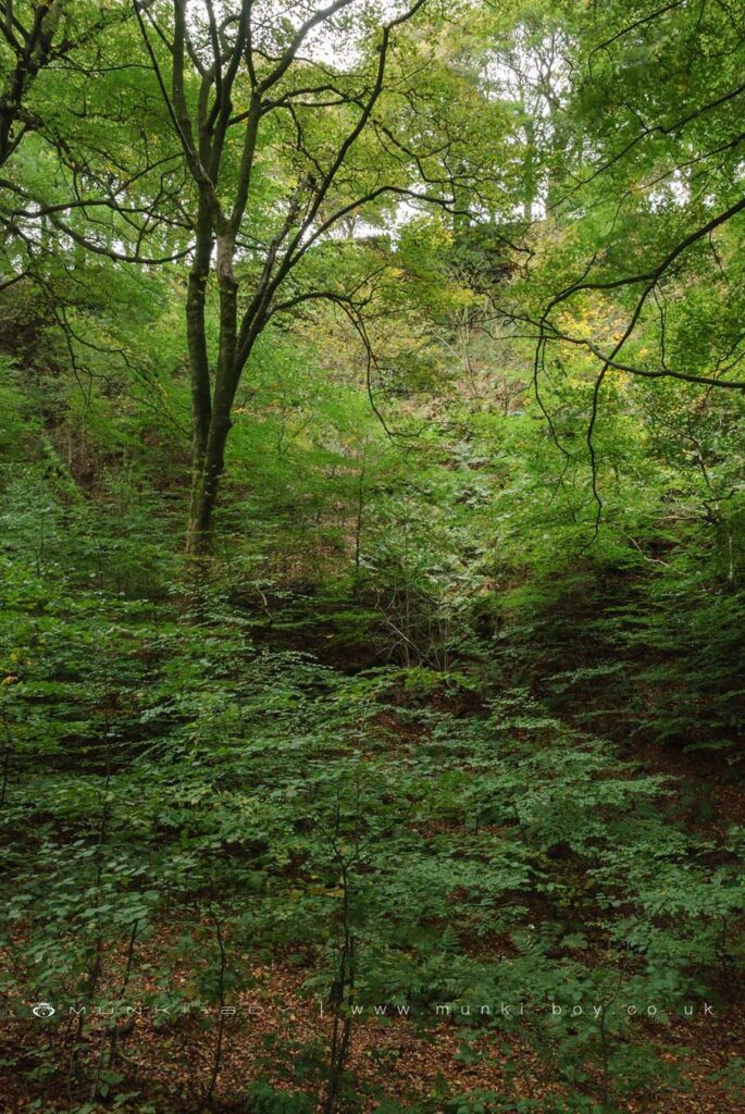
Looking Up to the site of Jacob's Ladder
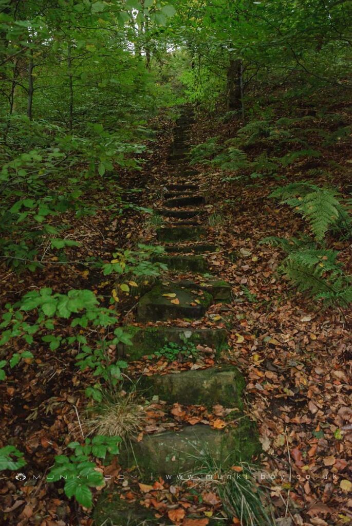
Jacob's Ladder Steps
Local History
Historic monuments near Jacob's Ladder (ruin)
- Moated site of Clayton Hall, adjacent fishponds and channels – 7.74 km away
- Headless Cross, Grimeford – 3.70 km away
- Bretters Farm moated site and two fishponds – 2.48 km away
- Pike Stones chambered long cairn – 0.80 km away
- Round cairn on Winter Hill – 3.87 km away
- Round cairn on Noon Hill – 3.12 km away
- Round Loaf bowl barrow on Anglezarke Moor – 2.25 km away
- The Moat House moated site 600m WNW of St David’s Church – 7.86 km away
- Cross base on Standish Wood Lane 700m south east of Standish Hall – 9.83 km away
- Moated site at Arley Hall, Haigh near Wigan – 6.83 km away
- Gidlow Hall moated site, Aspull, 560m NNE of Pennington Hall – 9.67 km away
- Cross base at the junction of Standish Green Lane, Standish Wood Lane and Beech Walk, 200m NNW of Strickland House Farm, Standish – 9.29 km away
- Cross base on Green Lane 300m north of Strickland House Farm, Standish – 9.15 km away
- Market cross in the marketplace to the west of St Wilfrid’s Church, Standish – 8.69 km away
- Round cairn 280m west of Old Harpers Farm – 6.03 km away