Explore The British Isles


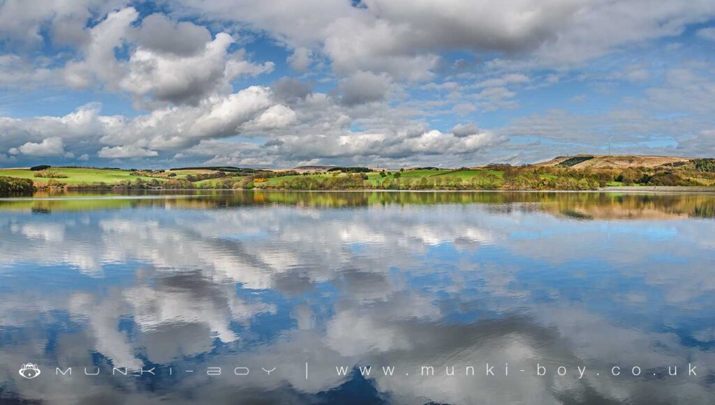
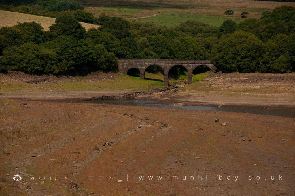
Yarrow Reservoir
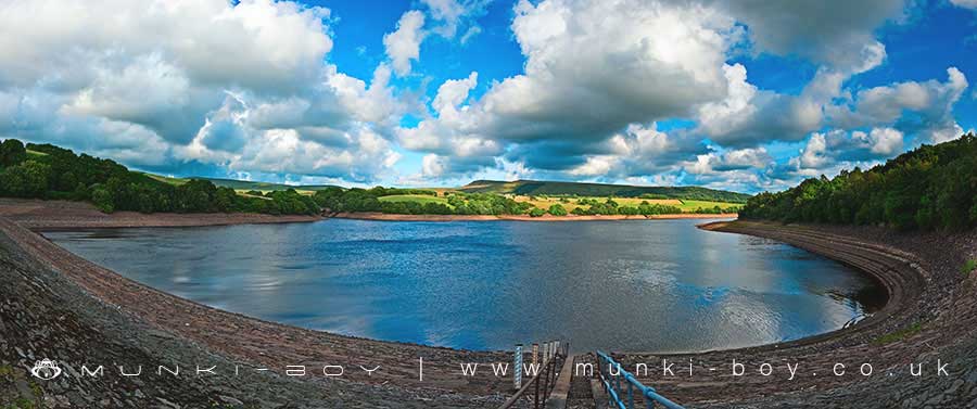
Yarrow Reservoir is the smallest of the main reservoirs at Rivington and is often overlooked by casual visitors, situated as it is, away from the Three Lakes and without well-known features or nearby amenities. However, it does have good footpaths all around, interesting historic features, and is actually situated central to a hub of routes leading to great walking areas.
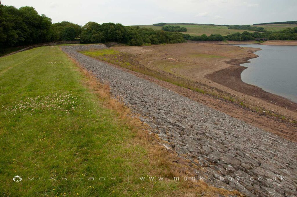
The water itself is not very accessible on most sides as there is a wall and in some places very steep embankments.
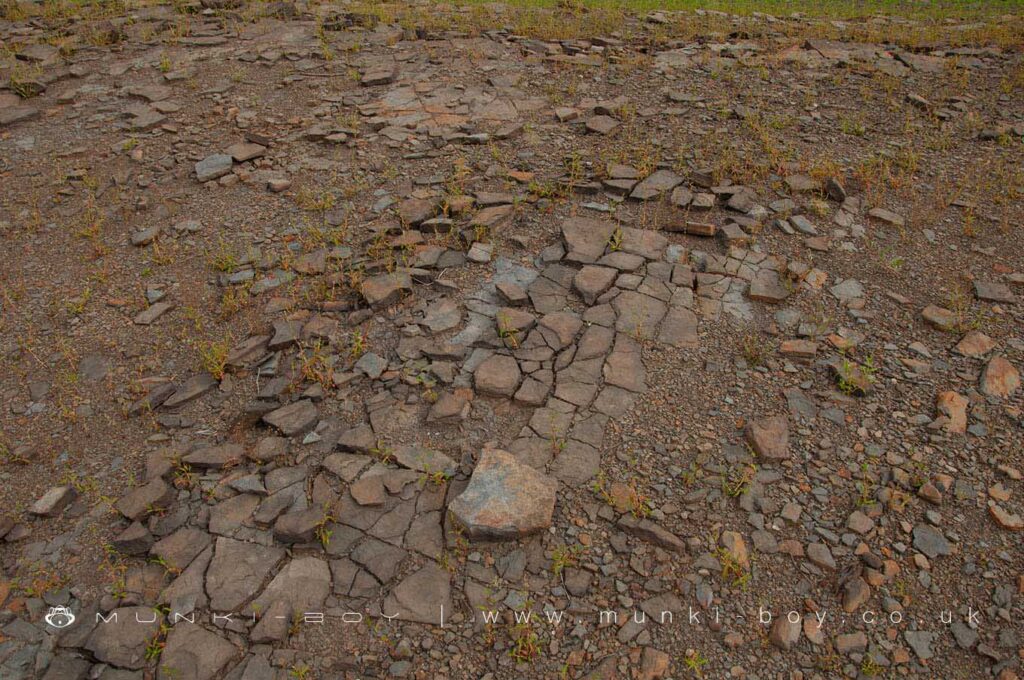
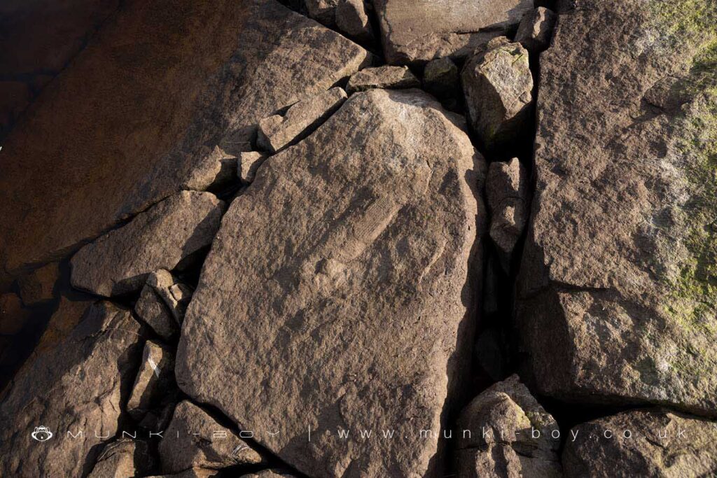
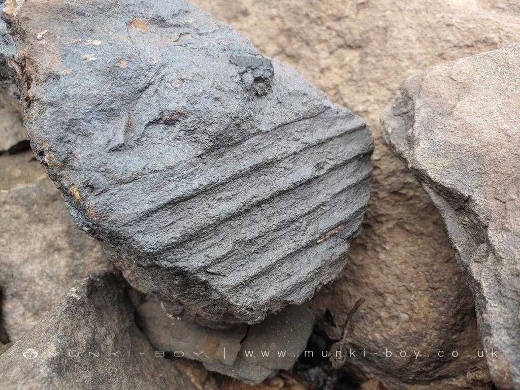
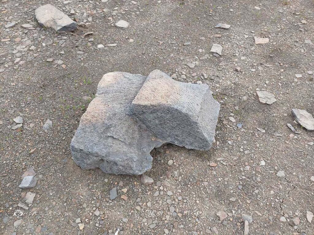
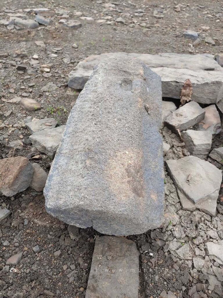
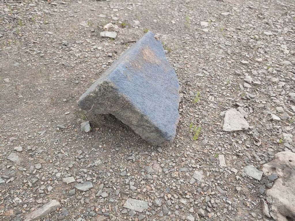
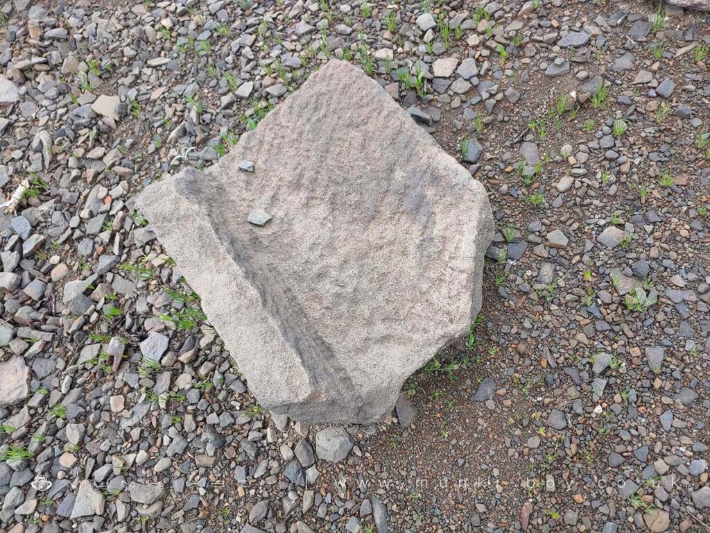
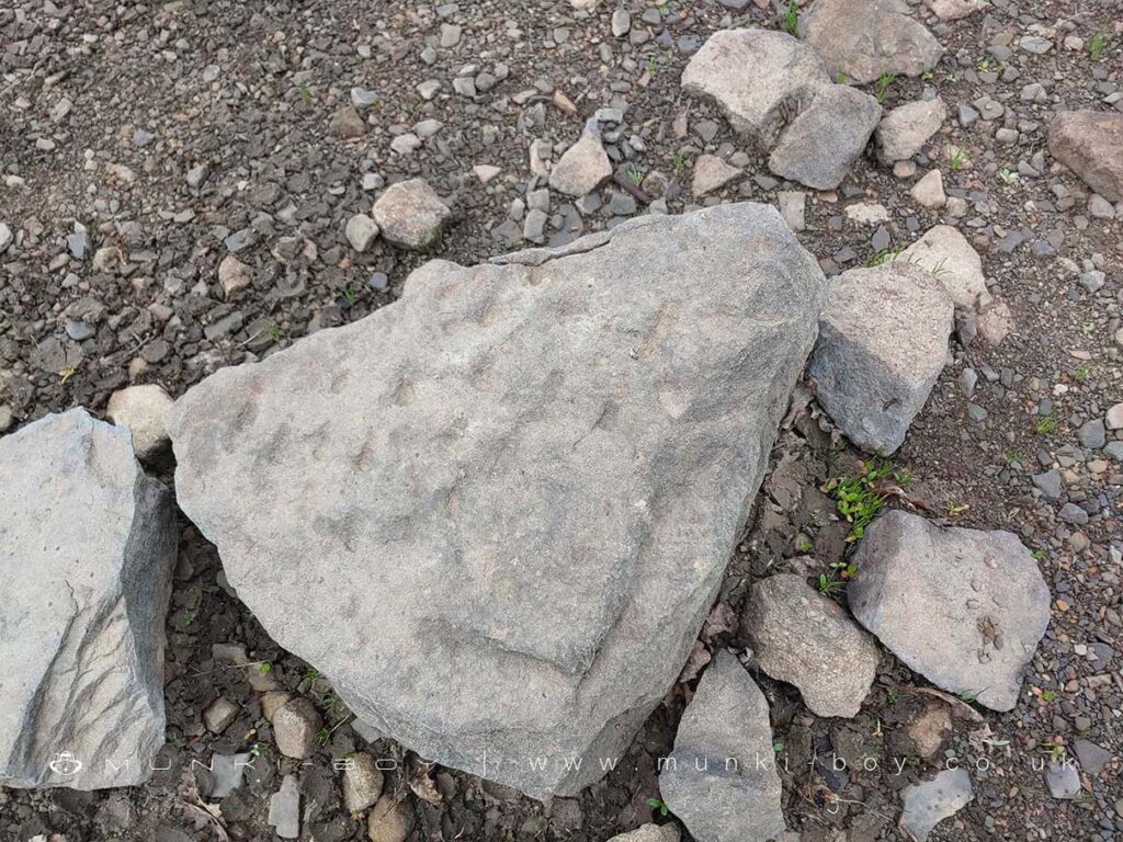
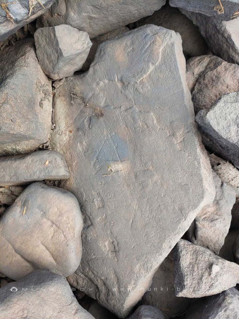
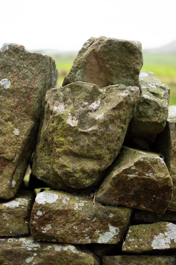
Yarrow Reservoir Carved Stones
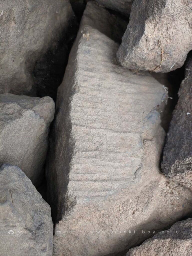
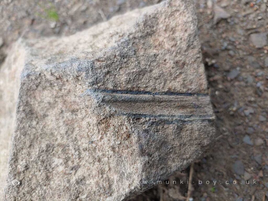
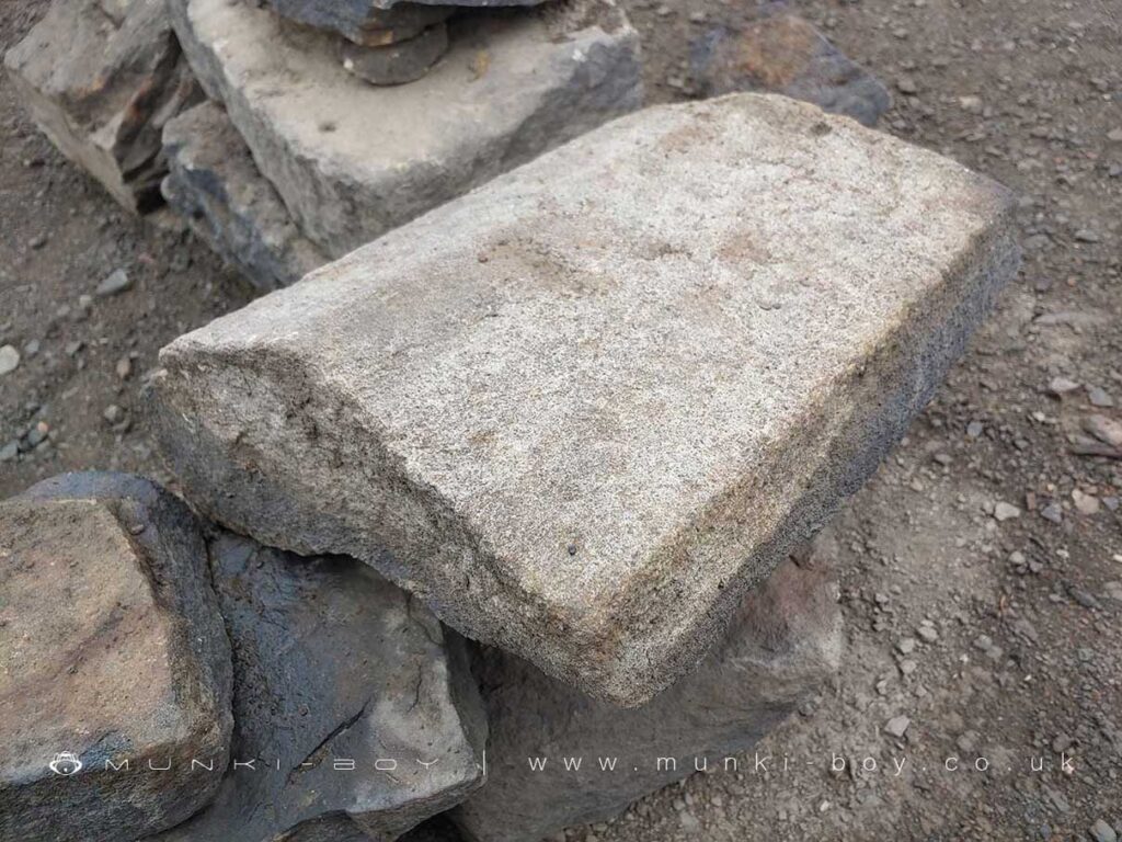
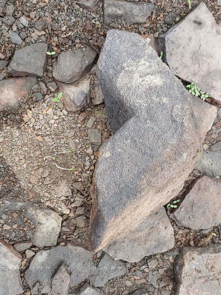
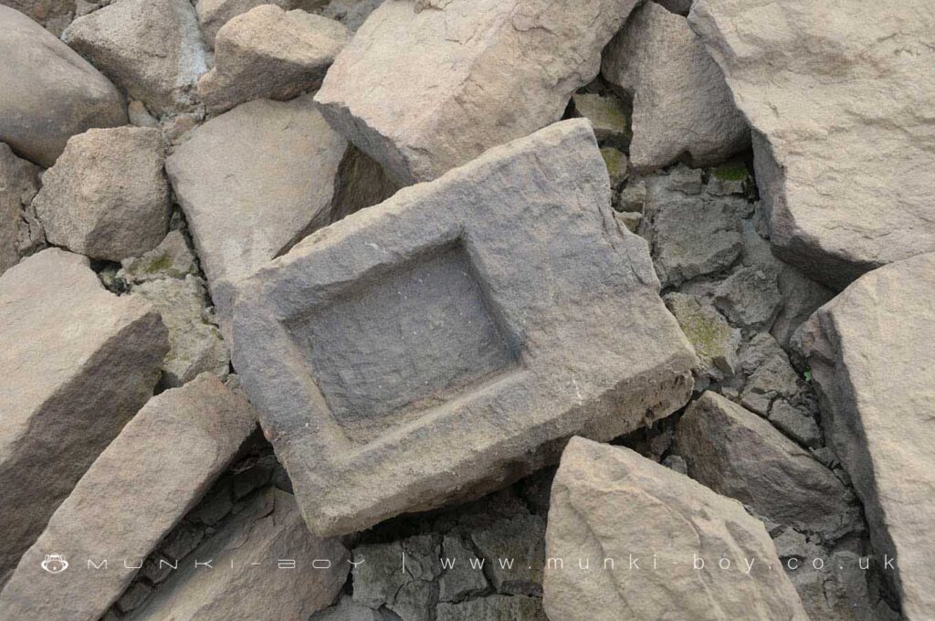
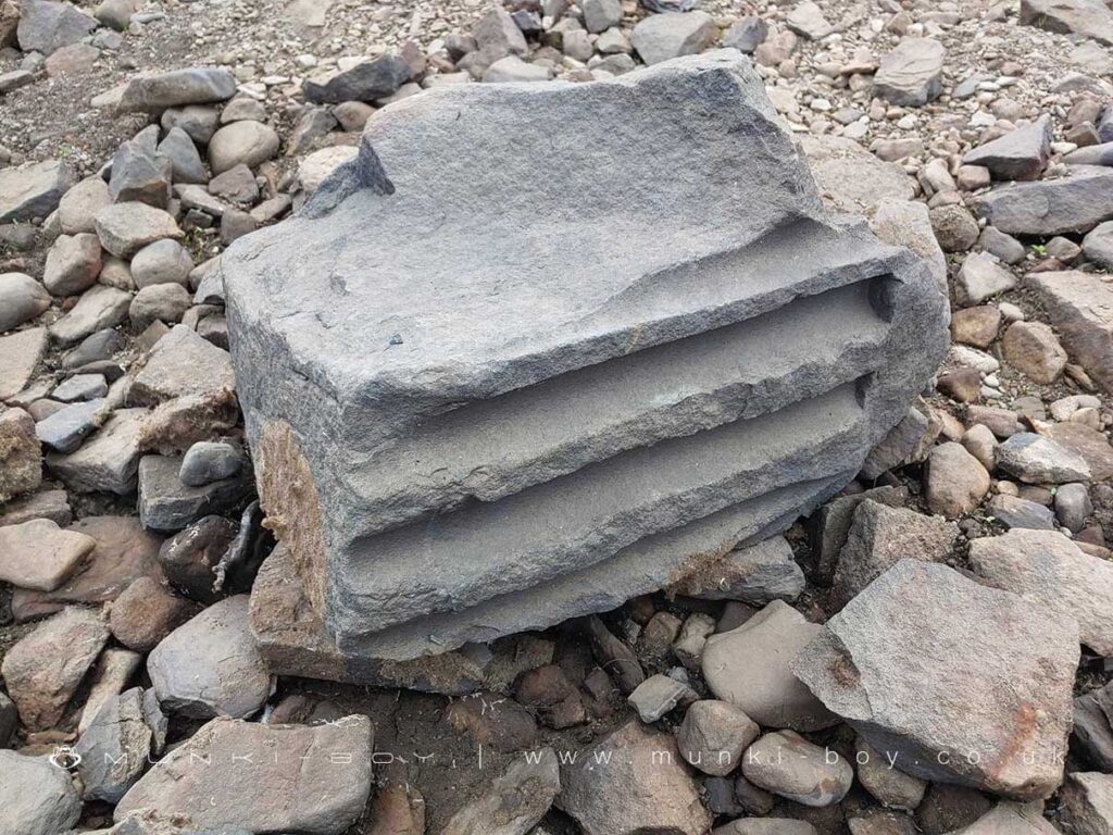
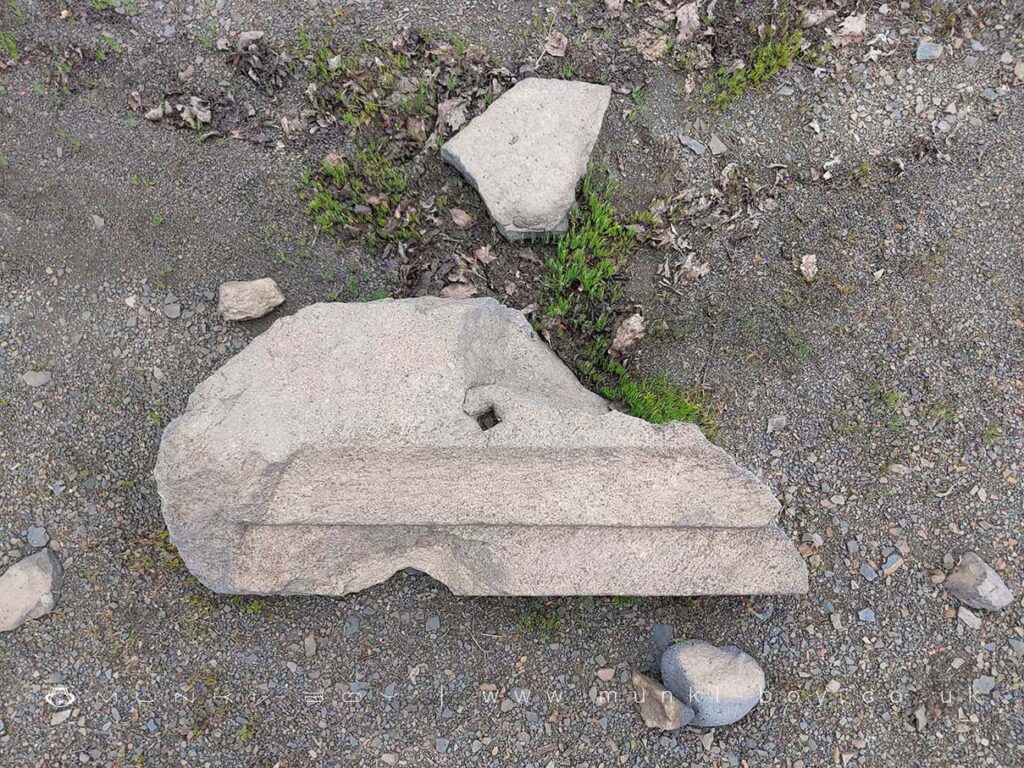
There are many interestingly carved stones to be found around the Yarrow Reservoir, the best are below the waterline when at full-capacity. There are carved stones that are said to have been made by the reservoir builders, seemingly for amusement. The Face-in-the Wall was once set in the boundary wall close to the overflow – the defaced fragments can still be found – that is said to have been a likeness of a foreman from the site. There is also a very large, stone head that has been on display at the Great House Barn. Many vaguely worked stone and chiseled boxes and rock with other toolmarks are easily found built into the embankment and among the loose stones.
Just north of the Yarrow overflow where bedrock is exposed (not a constructed embankment) there are many fragments of ornamented stone masonry including ridge tiles and what looks to be part of a window frame and perhaps coping stones. Some have square holes cut and might have been for iron railings. There is no known site of a grand old building here; Turners farm once stood below the steep embankment at the southern end of the reservoir and the hamlet of Alance was located below the current stone bridge.
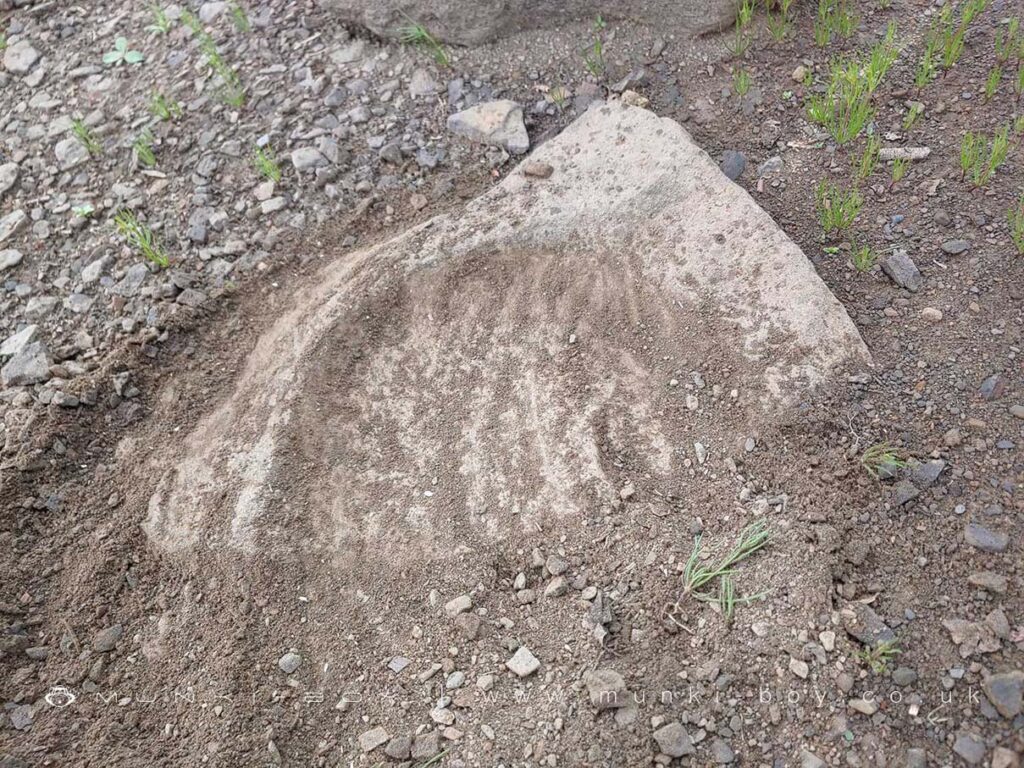
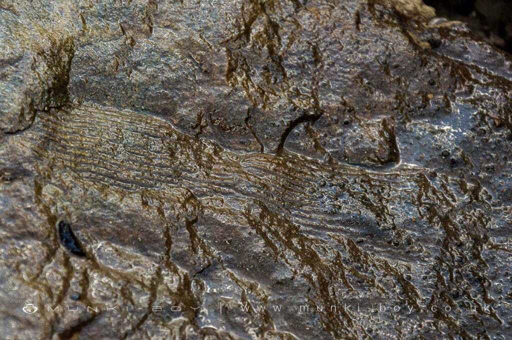
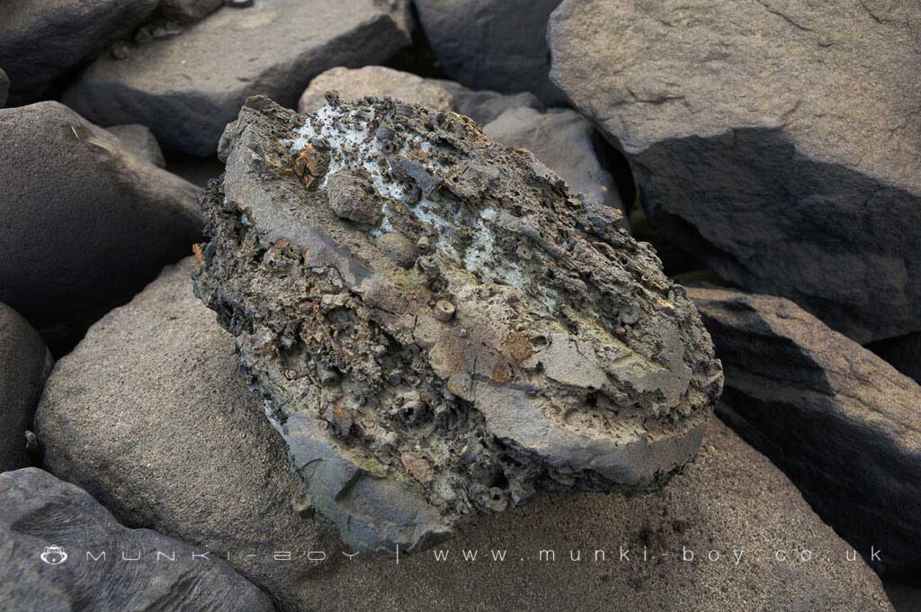
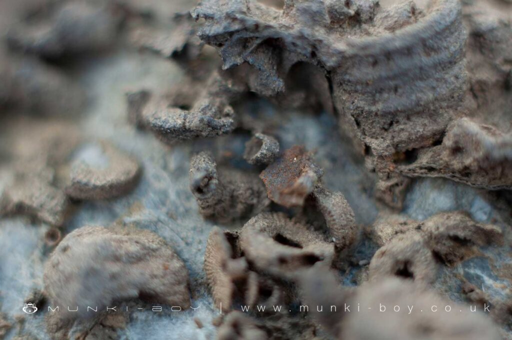
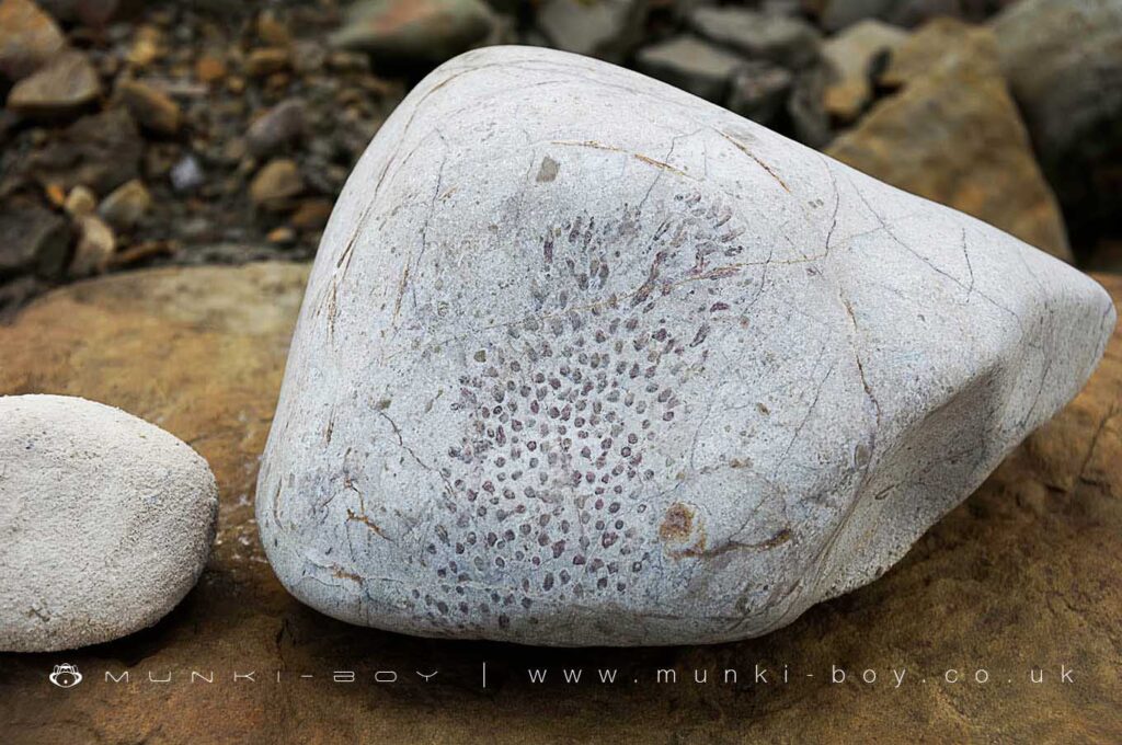
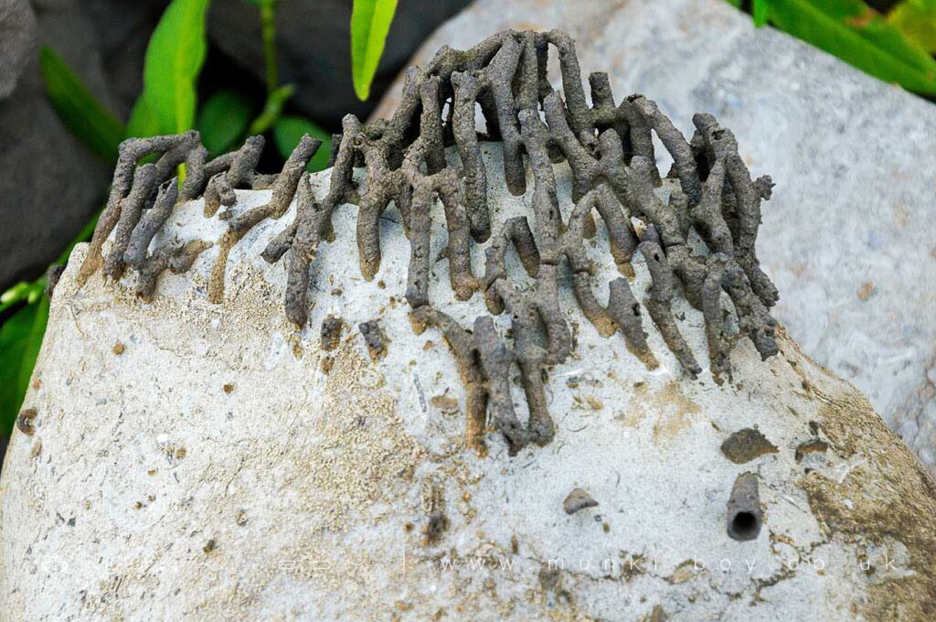
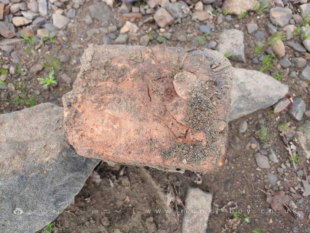
Yarrow Reservoir Fossils
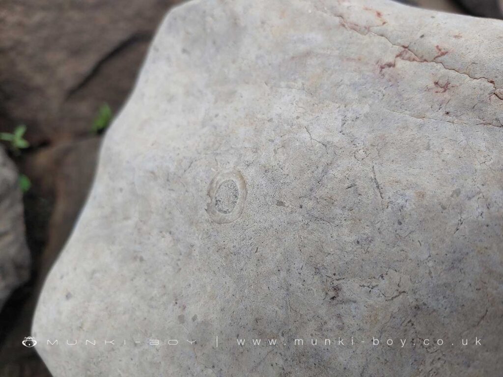
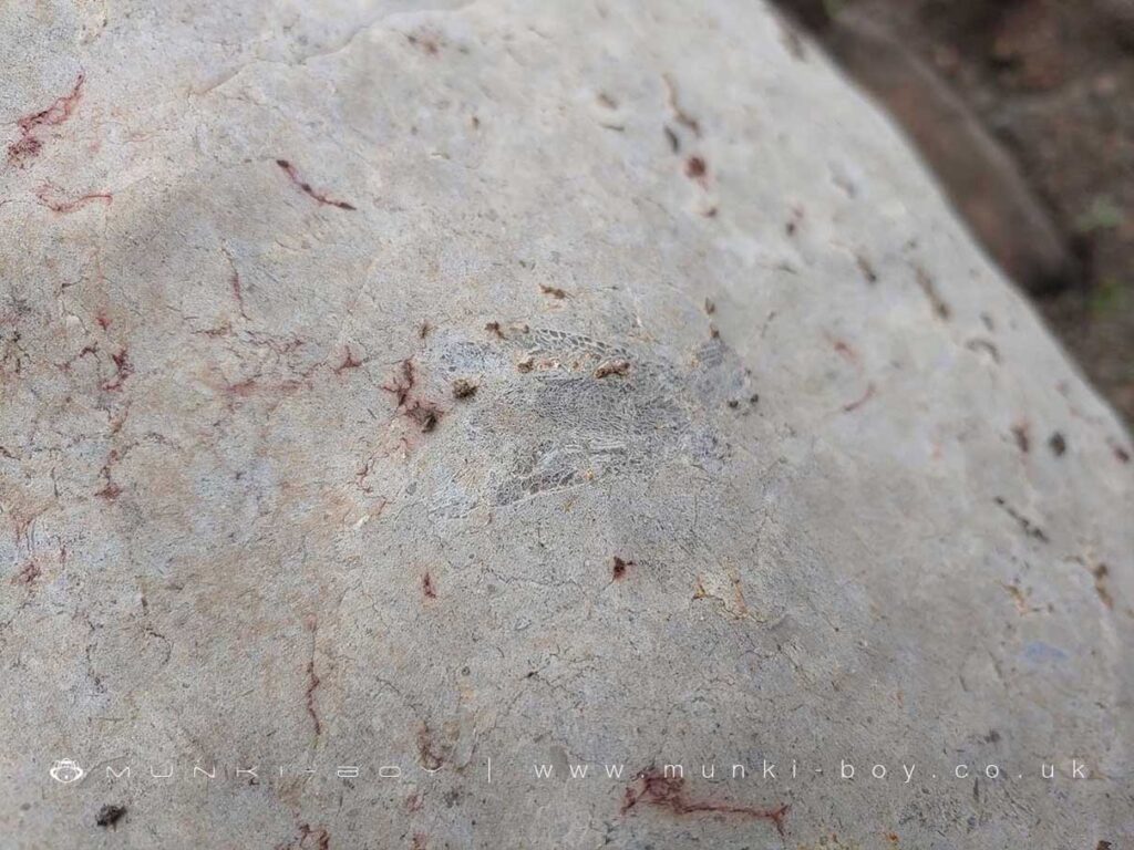
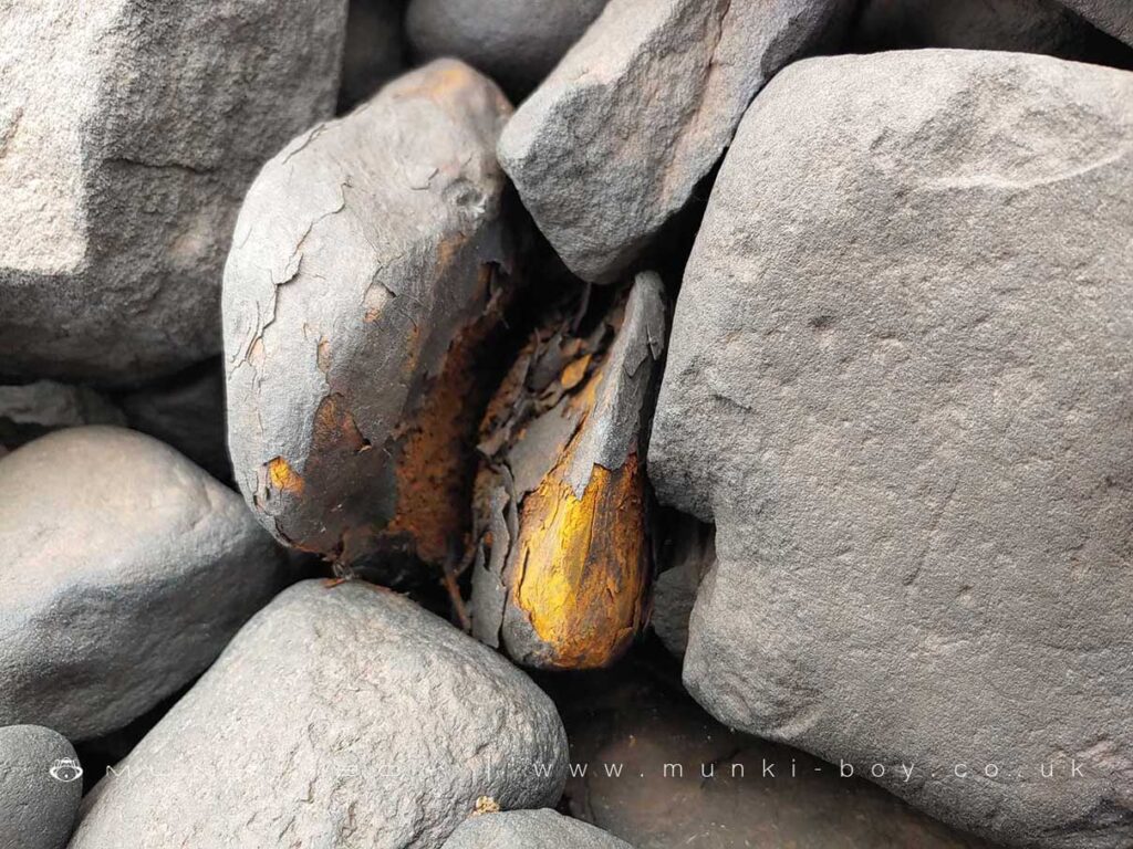
Carboniferous fossils contemporary with the local bedrock are easily found both in the stone embankments and loose rocks that are best sought when the water is low. These fossils are often Stigmaria – roots of ancient Lycopsids that are similar to tree roots today or imprints and stems from giant Horsetails around 30 metres tall. These plants lived around 320 million-years-ago around a massive river delta positioned near the equator.
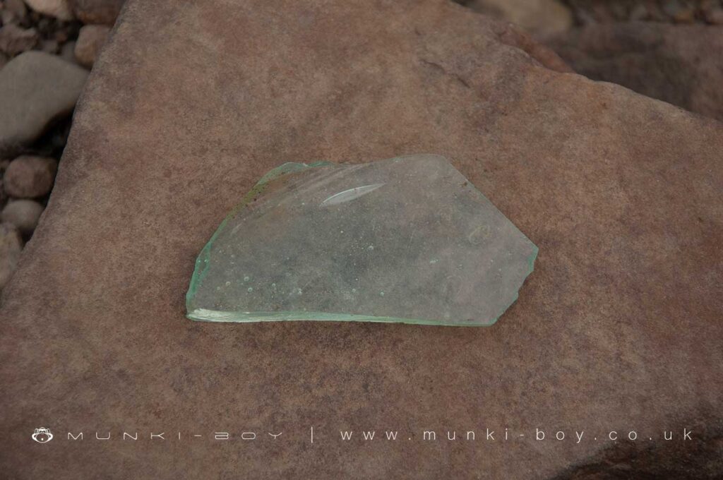
Other fossils are found in rounded boulders from the glacial till – the rocks brought down from other areas by glaciers – often rounded rocks that have been ‘rolling around in the soil for a few thousand years’. The ones we have found are undersea plants preserved in Dolomite Rock or Dolostone – an altered form of limestone, paler and greyer than the local sandstone. Fossils include Lithostrotion – a plant with many ‘arms’ that waved around in the sea currents to collect nutrients from the water and other fragments of Crinoids and other plant life that lived in warm, shallow seas to the north.
It is likely many of these fossils have been washed down streams from the surrounding higher ground and become trapped in the basin of the Yarrow Reservoir. Others, built into the reservoir embankments were likely exposed when the stone was quarried.

Local History
Historic monuments near Yarrow Reservoir
- Moated site of Clayton Hall, adjacent fishponds and channels – 8.77 km away
- Headless Cross, Grimeford – 2.77 km away
- Bretters Farm moated site and two fishponds – 2.60 km away
- Pike Stones chambered long cairn – 1.53 km away
- Round cairn on Winter Hill – 3.10 km away
- Round cairn on Noon Hill – 2.26 km away
- Round Loaf bowl barrow on Anglezarke Moor – 2.77 km away
- The Moat House moated site 600m WNW of St David’s Church – 7.04 km away
- Cross base on Standish Wood Lane 700m south east of Standish Hall – 9.34 km away
- Moated site at Arley Hall, Haigh near Wigan – 6.22 km away
- Gidlow Hall moated site, Aspull, 560m NNE of Pennington Hall – 8.66 km away
- Cross base at the junction of Standish Green Lane, Standish Wood Lane and Beech Walk, 200m NNW of Strickland House Farm, Standish – 8.86 km away
- Cross base on Green Lane 300m north of Strickland House Farm, Standish – 8.72 km away
- Market cross in the marketplace to the west of St Wilfrid’s Church, Standish – 8.31 km away
- Round cairn 280m west of Old Harpers Farm – 5.00 km away
- Haigh Sough mine drainage portal, 310m west of Park House – 9.20 km away