Explore The British Isles

Will Narr
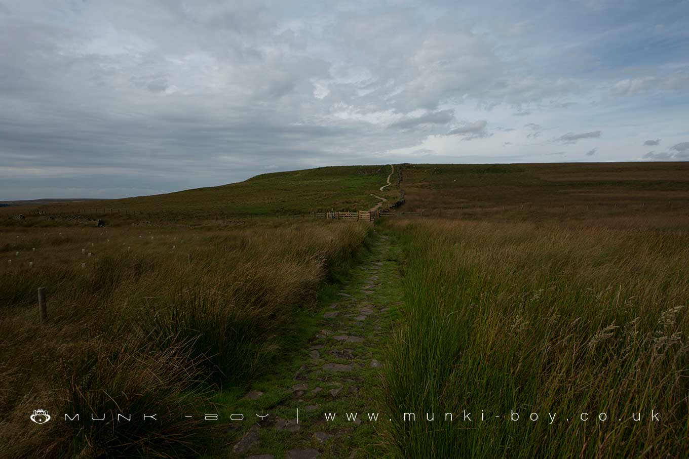
Just a stone’s throw from the market town of Chorley, Lancashire, lies the hill known as Will Narr. Part of the open access moorland, its landscape is rough and wild, a vast expanse of peat under the open sky. But beneath this ordinary facade, Will Narr conceals a fascinating secret. During World War II, this nondescript mound of earth played a surprising and critical role in the survival of nearby towns, acting as a decoy to divert enemy bombers away from populated areas.
As dusk would fall during those treacherous years, Will Narr would transform from a quiet hill on the edge of the Pennines, into a simulated metropolis, designed to mimic the lights and structures of nearby towns. As part of the British Starfish Decoy Program, a series of fires and electric lights were expertly arranged across Will Narr’s hillside, creating the illusion of active factories, homes, and transport links. This deception was designed to trick enemy pilots into believing they were above a bustling town, drawing their firepower away from the real populated areas in the vicinity.
These false urban landscapes, ablaze with strategic light, became the targets for the war-weary pilots of enemy bombers. The illusion of habitation was sufficiently convincing that numerous bombardments were directed towards the unpopulated hill, saving countless lives and preserving the infrastructure of surrounding towns such as Chorley, Blackburn, and Bolton.
The name Will Narr is possibly of Scandinavian origin, along with Hordern Stoops, where the footpath up Will Narr starts. The Vikings would have occupied the area probably somewhere between the 8th and 11th centuries.
Local History
Historic monuments near Will Narr
- Pike Stones chambered long cairn – 3.10 km away
- Stone circle, ring cairn and two round cairns on Cheetham Close – 5.91 km away
- Bretters Farm moated site and two fishponds – 5.83 km away
- Headless Cross, Grimeford – 5.12 km away
- Round Loaf bowl barrow on Anglezarke Moor – 2.59 km away
- Round cairn on Noon Hill – 1.77 km away
- Round cairn on Winter Hill – 1.44 km away
- The Moat House moated site 600m WNW of St David’s Church – 9.24 km away
- Steam tramway reversing triangle – 5.78 km away
- Gidlow Hall moated site, Aspull, 560m NNE of Pennington Hall – 9.91 km away
- Round cairn 280m west of Old Harpers Farm – 4.09 km away