Explore The British Isles

Yarrow Valley Country Park
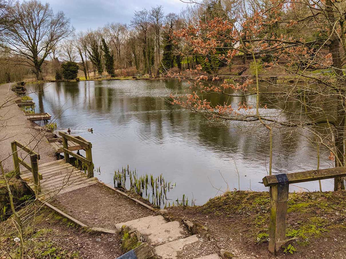
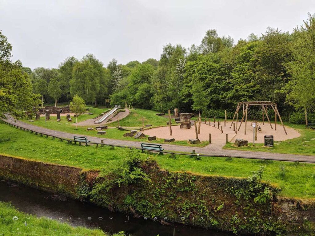
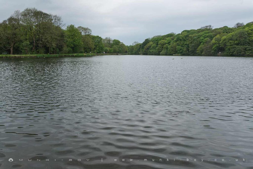
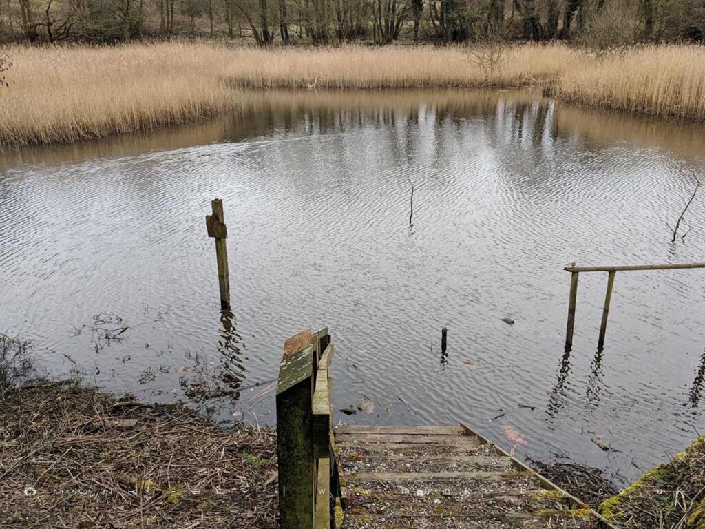
Yarrow Valley Country Park is a 50 hectare site situated in the attractive landscape of the Yarrow Valley at Birkacre. The park provides an ideal setting for a host of educational and recreational activities.
Created on and previously used for bleaching, dyeing calico printing and mining, Yarrow Valley Country Park is of historical Importance
Once industrial activity had ended the site lay derelict for some 30 years until in the late 1980s Chorley Borough Council were successful in obtaining derelict land grants to carry out the much needed reclamation works.
With the restoration of the mill lodges and watercourses, the creation of footpaths picnic areas and car parks and the building of a visitor Centre, a new recreational resource has been created which retains the inherent rural and natural quality of the valley.
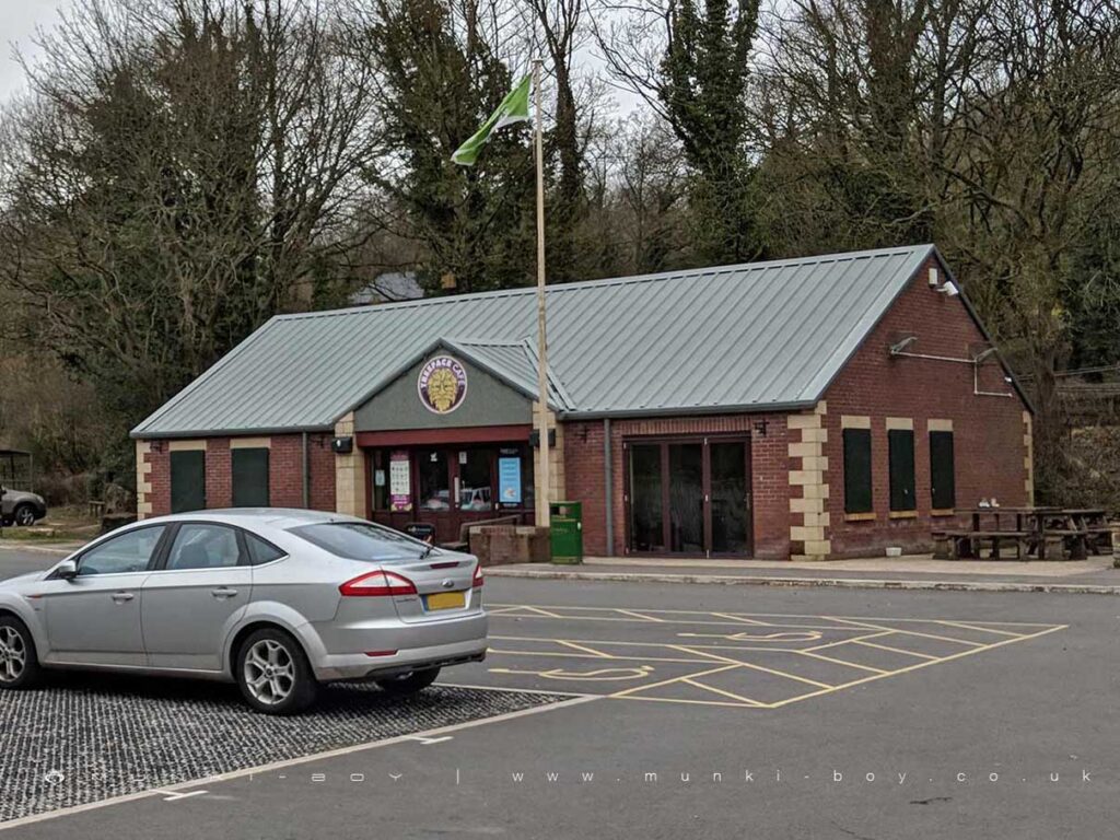
Visitor Centre
houses displays and leaflets about the sites history, local wildlife, environment and amenities. The centre has toilet facilities with disabled and baby changing provision A meeting room/display area is available for use by school parties and other interested groups. Please ask inside for details.
We are open everyday except Christmas Day and Boxing Day
April – September 10.00am Until dusk
October March 10.00am 4.00pm
Visitor Centre opening times may differ from above.
Park Ranger Service
The visitor centre is a base for the park rangers whose role is to give advice and information to the general public schools youth groups and societies. The rangers co ordinate the development and maintenance
of the park Ranger led guided walks are held regularly. Please ask for details.
Picnic Areas
Are located throughout the park where you can relax and enjoy the scenery
Disabled Access
Around the park are level surfaced paths many suitable for people in wheelchairs or pushchairs. Routes are shown on the map.
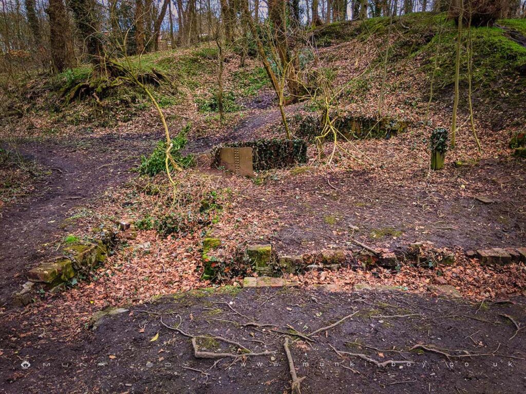

Local History
Historic monuments near Yarrow Valley Country Park
- Moated site of Clayton Hall, adjacent fishponds and channels – 6.88 km away
- Headless Cross, Grimeford – 5.53 km away
- Bretters Farm moated site and two fishponds – 3.16 km away
- Pike Stones chambered long cairn – 6.23 km away
- Boar’s Den bowl barrow – 6.41 km away
- Ingrave Farm moated site, moated site 100m W of Ingrave Farm and connecting channel, Eccleston – 6.21 km away
- Bradley Hall, moated site, fishponds and connecting channels – 4.26 km away
- The Moat House moated site 600m WNW of St David’s Church – 6.90 km away
- Cross base on Standish Wood Lane 700m south east of Standish Hall – 6.45 km away
- Moated site at Arley Hall, Haigh near Wigan – 4.99 km away
- Mabs Cross on Standishgate, 20m west of Mabs Cross School building – 9.09 km away
- Gidlow Hall moated site, Aspull, 560m NNE of Pennington Hall – 9.96 km away
- Cross base at the junction of Standish Green Lane, Standish Wood Lane and Beech Walk, 200m NNW of Strickland House Farm, Standish – 5.71 km away
- Cross base on Green Lane 300m north of Strickland House Farm, Standish – 5.60 km away
- Market cross in the marketplace to the west of St Wilfrid’s Church, Standish – 4.98 km away
- Haigh Sough mine drainage portal, 310m west of Park House – 8.37 km away