Explore The British Isles

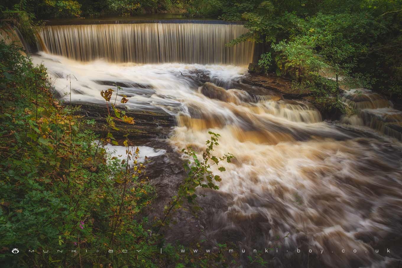
Birkacre Weir
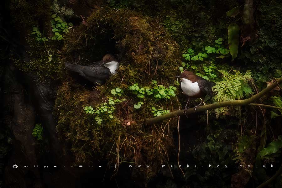
One of the most interesting looking local weirs providing an artificial waterfall that is popular with birdlife including Dipper, Heron, Wagtail and sometimes Kingfisher. The “waterfall”, although artificial is very attractive, especially when the river is high with the whole arc of the weir in use and plenty of water cascading down onto the roughly shelving bedrock exposed below.
A fine wooden viewing platform is provided at the end of the footpath but access to the stream bed is difficult, although less difficult than getting back up.
The weir itself is early 19th Century and features and original leat or mill-race on the North side which lead downstream to Higher Forge beside Big Lodge and on to the Birkacre Bleaching, Dyeing and Printing Works. The leat can be seen as a mostly dry and overgrown channel beside the downstream footpath with various sluice and associated mechanisms especially around the old mill ponds. Water from the weir that once flowed into the leat is now allowed to flow as a separate fall into the river, adjacent to the main weir.
Birkacre Weir Fish Pass
The fish pass is a modern addition but is of a very sypathetic design and fits in very well with the rest of the stonework on the South side of the weir.
Local History
Historic monuments near Birkacre Weir
- Moated site of Clayton Hall, adjacent fishponds and channels – 7.51 km away
- Headless Cross, Grimeford – 4.66 km away
- Bretters Farm moated site and two fishponds – 2.57 km away
- Pike Stones chambered long cairn – 5.80 km away
- Round Loaf bowl barrow on Anglezarke Moor – 7.21 km away
- Boar’s Den bowl barrow – 6.67 km away
- Bradley Hall, moated site, fishponds and connecting channels – 5.16 km away
- Ingrave Farm moated site, moated site 100m W of Ingrave Farm and connecting channel, Eccleston – 7.12 km away
- The Moat House moated site 600m WNW of St David’s Church – 6.07 km away
- Cross base on Standish Wood Lane 700m south east of Standish Hall – 5.98 km away
- Moated site at Arley Hall, Haigh near Wigan – 4.19 km away
- Mabs Cross on Standishgate, 20m west of Mabs Cross School building – 8.41 km away
- Gidlow Hall moated site, Aspull, 560m NNE of Pennington Hall – 9.09 km away
- Cross base at the junction of Standish Green Lane, Standish Wood Lane and Beech Walk, 200m NNW of Strickland House Farm, Standish – 5.27 km away
- Cross base on Green Lane 300m north of Strickland House Farm, Standish – 5.15 km away
- Market cross in the marketplace to the west of St Wilfrid’s Church, Standish – 4.55 km away
- Haigh Sough mine drainage portal, 310m west of Park House – 7.64 km away