Explore The British Isles

Top Lodge
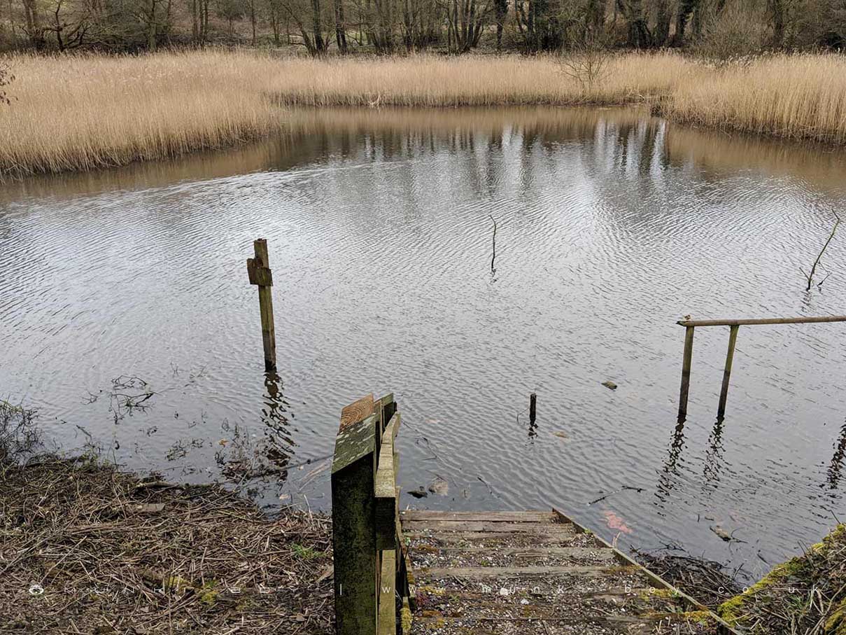
Top Lodge is a former mill pond and is now part of the Yarrow Valley Country Park nature conservation area.
Now mostly silted up and used as a reed bed for wildlife, a viewing platform and path is available round the South side.
Local History
Historic monuments near Top Lodge
- Moated site of Clayton Hall, adjacent fishponds and channels – 7.23 km away
- Headless Cross, Grimeford – 4.96 km away
- Bretters Farm moated site and two fishponds – 2.72 km away
- Pike Stones chambered long cairn – 5.89 km away
- Round Loaf bowl barrow on Anglezarke Moor – 7.28 km away
- Boar’s Den bowl barrow – 6.62 km away
- Bradley Hall, moated site, fishponds and connecting channels – 4.84 km away
- Ingrave Farm moated site, moated site 100m W of Ingrave Farm and connecting channel, Eccleston – 6.80 km away
- The Moat House moated site 600m WNW of St David’s Church – 6.40 km away
- Cross base on Standish Wood Lane 700m south east of Standish Hall – 6.19 km away
- Moated site at Arley Hall, Haigh near Wigan – 4.50 km away
- Mabs Cross on Standishgate, 20m west of Mabs Cross School building – 8.69 km away
- Gidlow Hall moated site, Aspull, 560m NNE of Pennington Hall – 9.42 km away
- Cross base at the junction of Standish Green Lane, Standish Wood Lane and Beech Walk, 200m NNW of Strickland House Farm, Standish – 5.47 km away
- Cross base on Green Lane 300m north of Strickland House Farm, Standish – 5.36 km away
- Market cross in the marketplace to the west of St Wilfrid’s Church, Standish – 4.75 km away
- Haigh Sough mine drainage portal, 310m west of Park House – 7.93 km away