Explore The British Isles

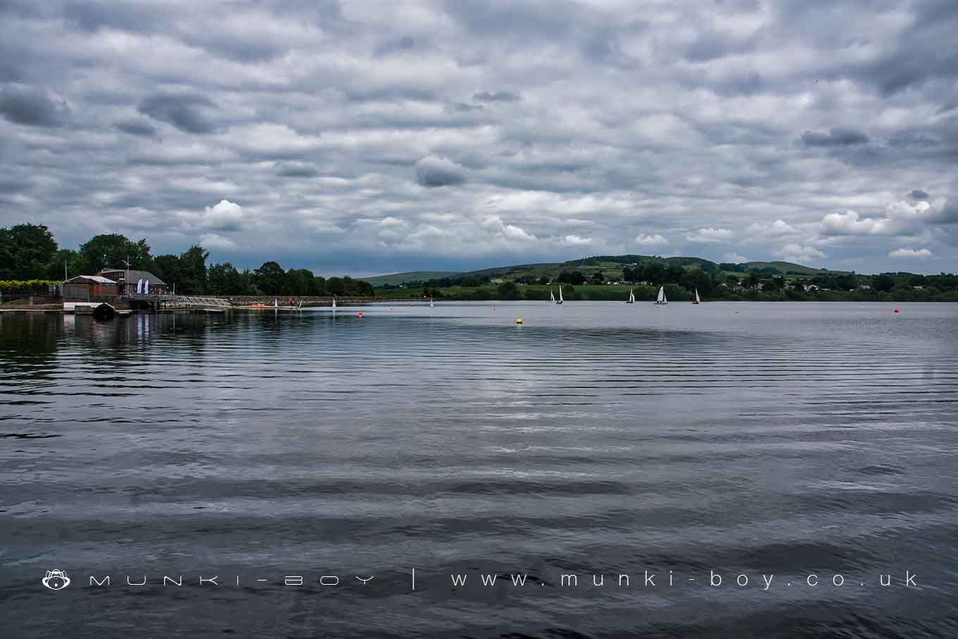
Lake Burwain
Lake Burwain formerly Foulridge Lower Reservoir started out as Canal Reservoir, one of two local reservoirs used to top up water in the canal just off the western shore of the lake.
Interestingly, “Burwains” was a homestead in the fields to the north of Canal Reservoir – roughly where Pasture Drive is today. While Burwain (the modern-day sailing club) is located on the western bank of the lake, on the site of an old boat house beside Reedy Moor.
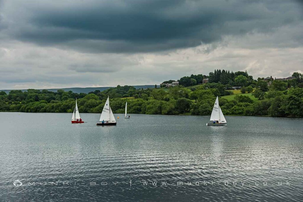
Boats on Lake Burwain
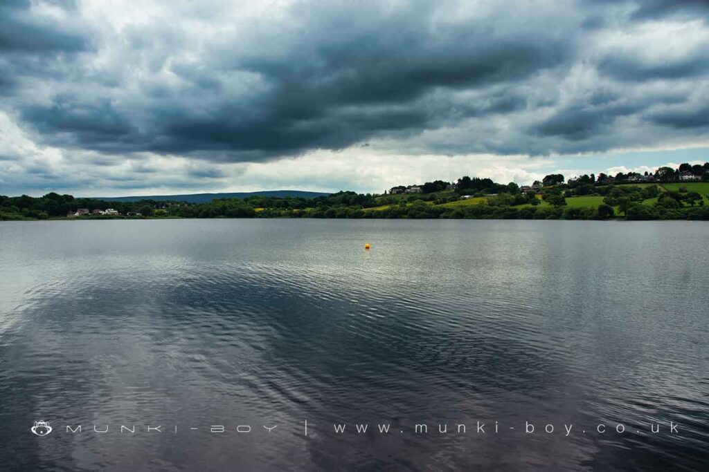
Foulridge Lower Reservoir or Lake Burwain
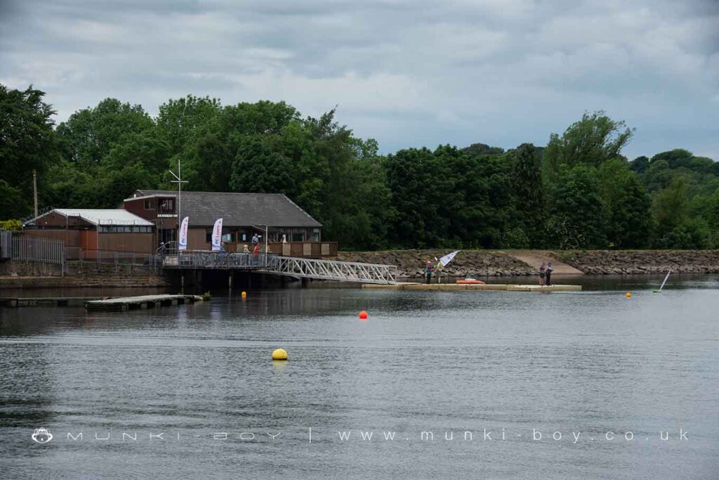
Burwain Sailing Club
Local History
Historic monuments near Lake Burwain
- Stock medieval settlement and part of its associated medieval open field system – 7.63 km away
- Bomber Camp Romano-British farmstead and associated enclosure – 7.17 km away
- Burwains Camp prehistoric defended settlement west of Broad Bank Hill – 6.89 km away
- Twist Castle Romano-British farmstead – 8.15 km away
- Little Painley bowl barrow – 9.90 km away
- Two Romano-British farmsteads known as Ring Stones – 8.74 km away
- Beadle Hill Romano-British farmstead – 7.68 km away
- Ring cairn 25m east of Ell Clough – 7.88 km away
- Saucer barrow 90m east of Ell Clough – 7.92 km away
- Bowl barrow 140m east of Beadle Hill – 7.76 km away
- Bowl barrow 155m east of Beadle Hill – 7.74 km away
- Bowl barrow 90m east of Twist Castle – 8.11 km away
- Bowl barrow on Hameldon Pasture – 9.23 km away
- Ring cairn on Slipper Hill – 9.04 km away
- Round cairn on Hameldon Pasture – 9.24 km away
- Pike Low bowl barrow and site of beacon, Bonfire Hill – 7.67 km away
- Small stone circle on Delf Hill – 8.27 km away
- Round cairn 230m west of Bleara Lowe – 5.49 km away
- Castercliff small multivallate hillfort – 3.49 km away
- Bank House Bridge, Wycoller – 6.04 km away
- The Hall Bridge, Wycoller – 5.60 km away
- Wycoller packhorse bridge – 5.58 km away
- Higherford Old Bridge – 2.57 km away
- Wycoller Hall – 5.61 km away