Explore The British Isles

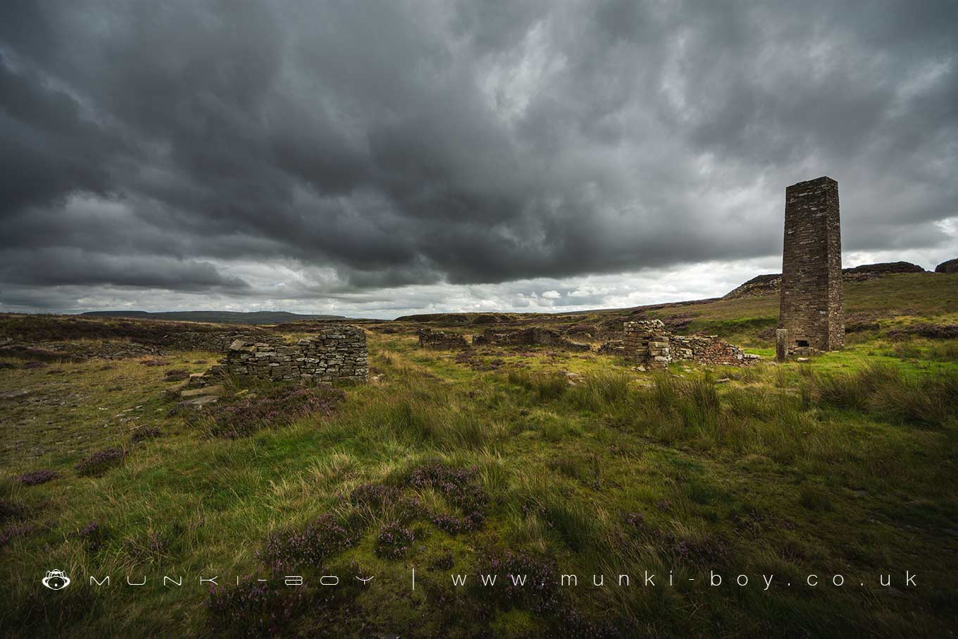
Musbury Heights
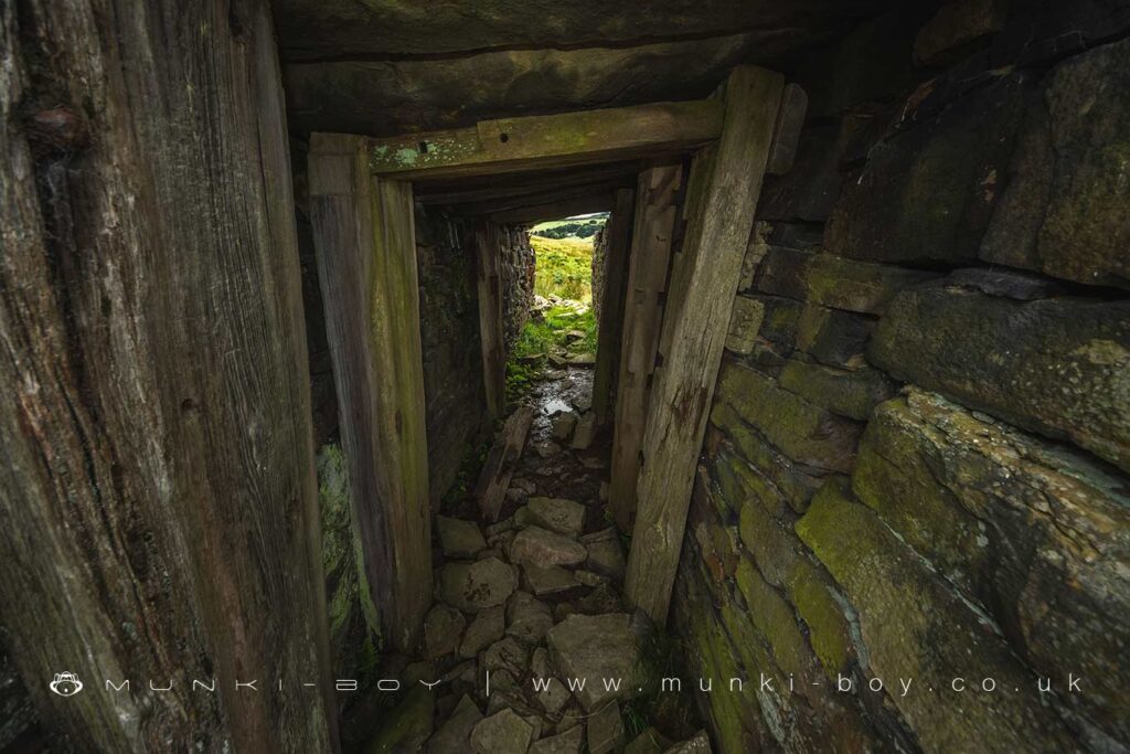
A steep-sided plateau overlooking Haslingden Grane with an old disused quarry and numerous building ruins.
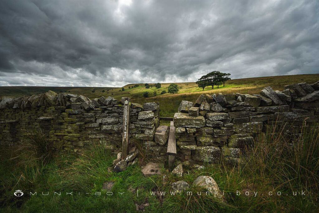
The Rossendale Way on Musbury Heights
Local History
Historic monuments near Musbury Heights
- Hameldon Hill World War II bombing decoy, 390m north of Heights Farm – 8.33 km away
- Hapton Castle – 9.93 km away
- Coking ovens and associated coal workings on Aushaw Moss 450m south west of Lower House – 3.41 km away
- Remains of Aspen Colliery, associated beehive coking ovens and canal basin – 6.94 km away
- Stone circle, ring cairn and two round cairns on Cheetham Close – 7.41 km away
- Roman road at Bottom o’ th’ Knotts Brow – 6.63 km away
- Higher Mill, Helmshore – 1.76 km away
- Steam tramway reversing triangle – 6.32 km away
- Affetside Cross at Affetside 75m north west of the Pack Horse Inn – 8.25 km away
- Promontory fort called Castlesteads on the east bank of the Irwell 550m SSE of Banks Farm – 9.72 km away