Explore The British Isles

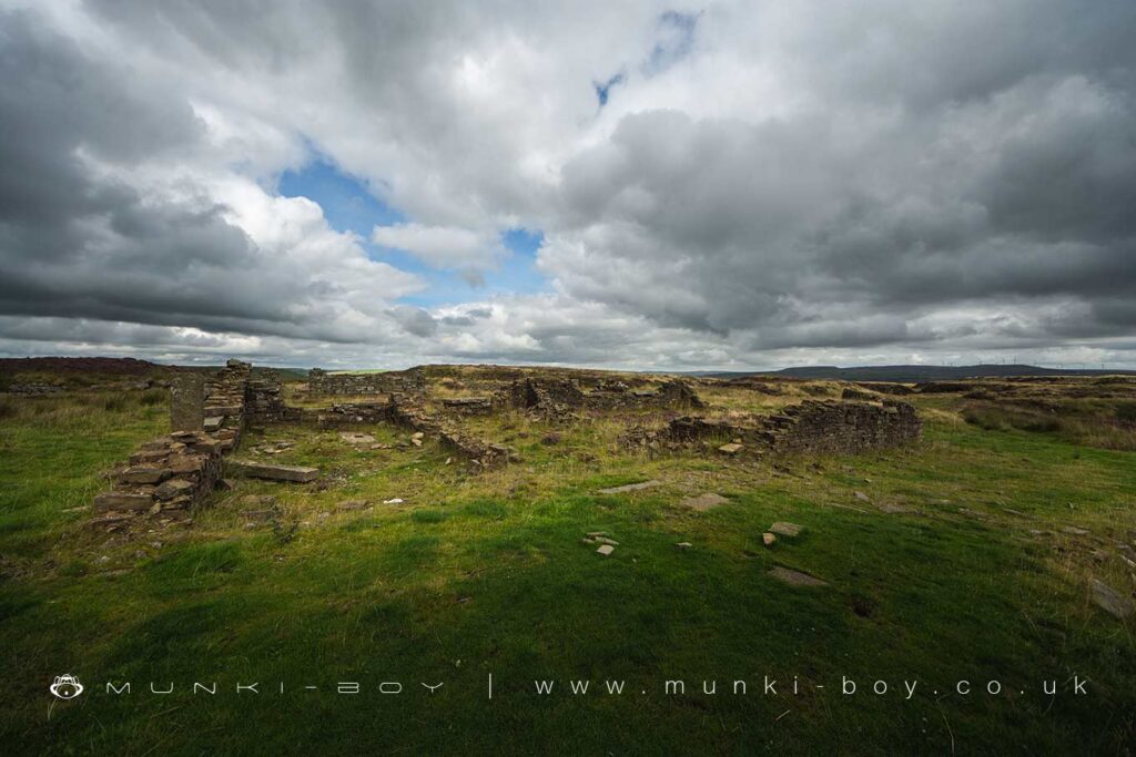
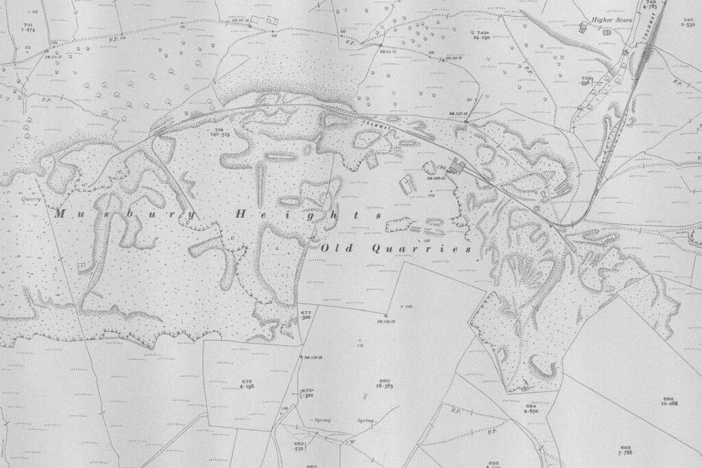
Musbury Heights Quarry (ruin)
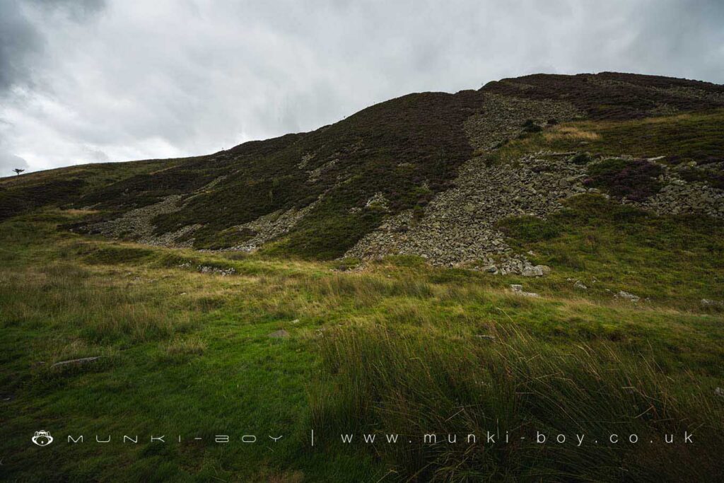
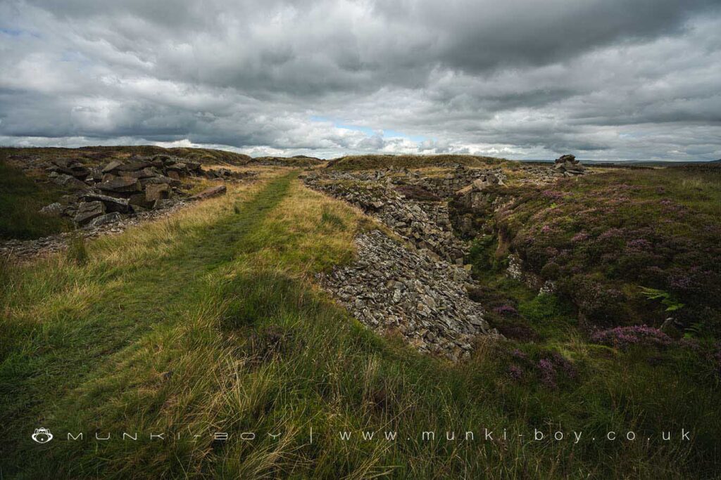
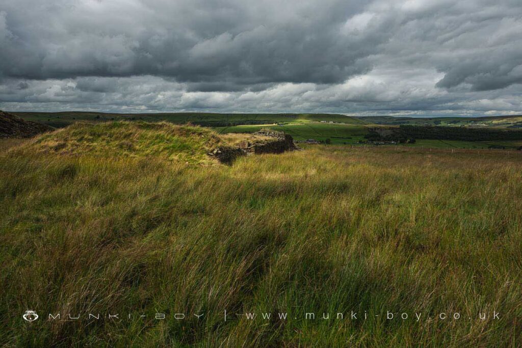
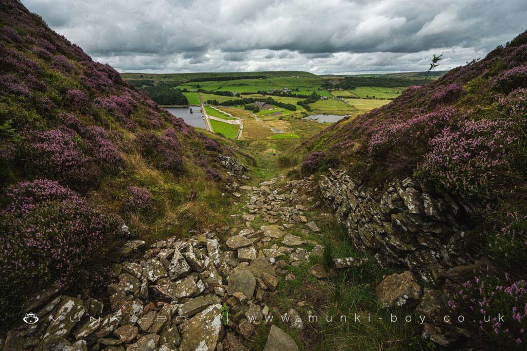
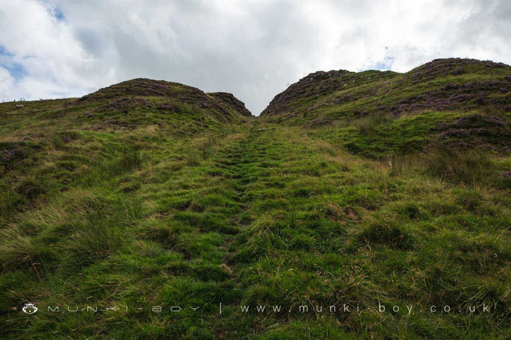
The old quarries on Musbury Heights a relatively shallow working the Haslingden Flags off the top of the hill plateau. The Musbury Heights quarry does cover a large area and appears to have started in the early 19th Century at the north side of the site along the top of the steep edge overlooking the valley.
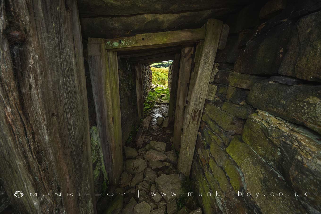
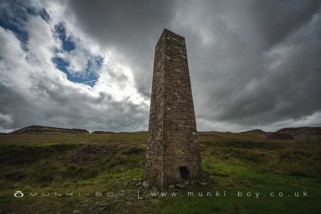
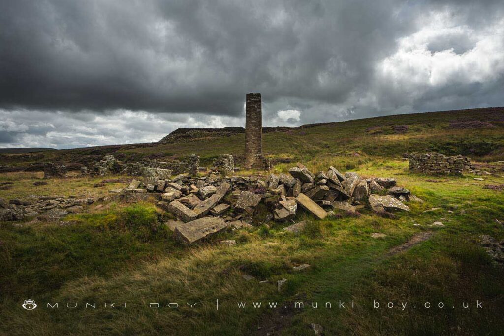
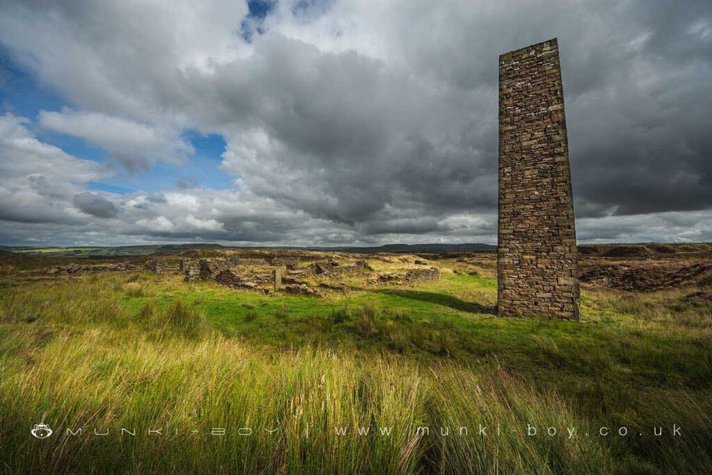
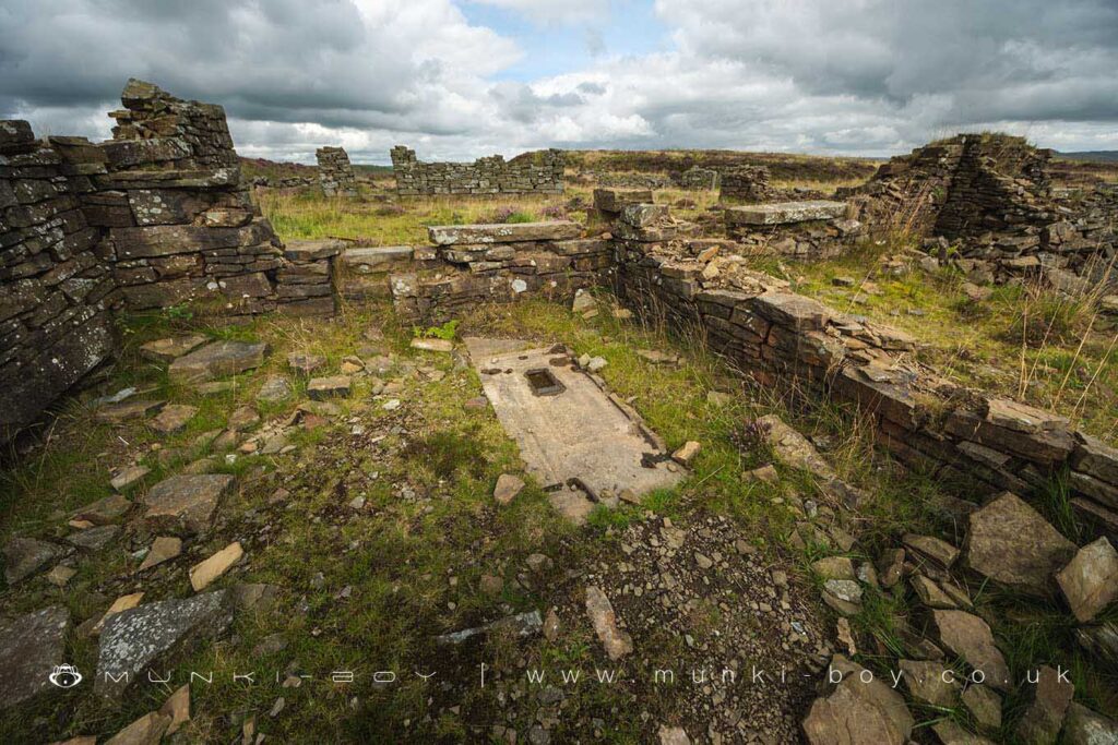
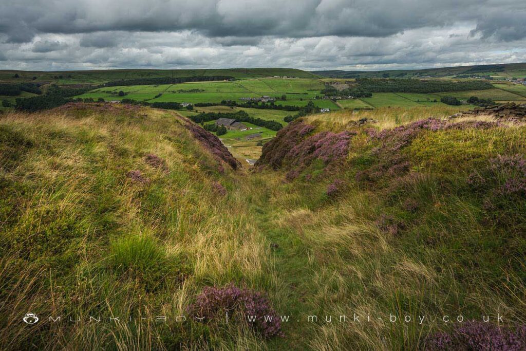
The quarries expanded in a southerly direction with the earlier portions backfilled with rubble which was also used to construct various building and stone huts, the best-known being the early 20th Century chimney which still stands at the site of the main quarry buildings, constructed in the latter half of the 19th Century. Various tramways led around the site at various to carry stone round to the quarry buildings and an “incline” or long ramp constructed to take the tramway down to the valley below and along the other side of Holden Wood Reservoir – Ogden not having been constructed at the time -to a train line at Haslingden. An interesting feature of the incline is a small, stone and wood-shored tunnel transverse to the incline which allowed access to Higher Scars which would have been cut-off after construction of the Ogden Reservoir.
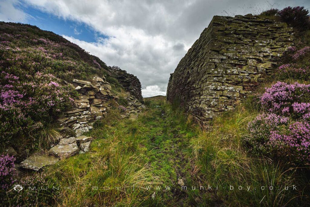
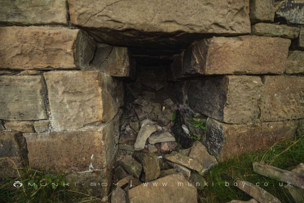
The site is very interesting to explore but the loose rubble can be dangerous to navigate and there are a few deep cavities where rubble has settled against old quarry faces. There are well-trodden footpaths across the site and much can be seen without venturing off.
Local History
Historic monuments near Musbury Heights Quarry (ruin)
- Hameldon Hill World War II bombing decoy, 390m north of Heights Farm – 8.06 km away
- Hapton Castle – 9.73 km away
- Coking ovens and associated coal workings on Aushaw Moss 450m south west of Lower House – 3.71 km away
- Remains of Aspen Colliery, associated beehive coking ovens and canal basin – 6.91 km away
- Stone circle, ring cairn and two round cairns on Cheetham Close – 7.68 km away
- Roman road at Bottom o’ th’ Knotts Brow – 6.82 km away
- Higher Mill, Helmshore – 1.52 km away
- Steam tramway reversing triangle – 6.63 km away
- Affetside Cross at Affetside 75m north west of the Pack Horse Inn – 8.40 km away
- Promontory fort called Castlesteads on the east bank of the Irwell 550m SSE of Banks Farm – 9.74 km away