Explore The British Isles

Black Moss Reservoirs
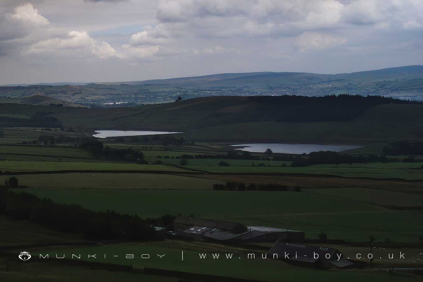
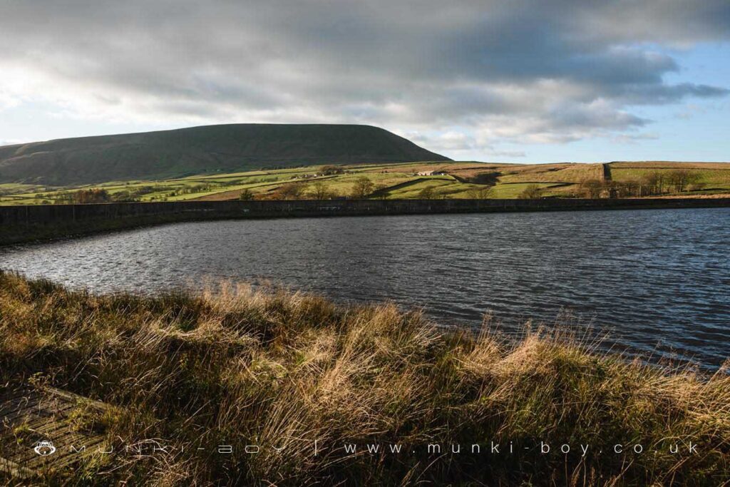
There are two reservoirs at Black Moss, in the Forest of Bowland Area of Outstanding Natural Beauty. Upper Black Moss, was built first, with the larger Lower Black Moss finished nine years later. Their job was to help give hard-working people in the booming town of Nelson a safe, clean, healthy supply of drinking water.
Nineteenth century Nelson was not a place to go drinking. The demand for textiles meant its mills were booming, and so was its population. But in the mid 1800s most of the townsfolk water came from Walverden Stream, which is also where their sewage went.
Nelson’s town fathers began building reservoirs in the nearby hills. Black Moss was built in 1894 and 1903 and also supplied part of the village of Barley.
United Utilities doesn’t use Black Moss water for drinking at the moment, because there are better and more abundant sources of water nearby.
But Black Moss is still a very important part of our drinking water supply. Why? Well, we use it to keep local streams like Pendle Water topped up. That means we can keep more of the water we gather in other places without affecting the environment. This type of reservoir is called a compensation reservoir, because the water it puts back into the environment compensates for what we need to take out to drink.

Local History
Historic monuments near Black Moss Reservoirs
- Spigot mortar (Blacker Bombard) position – 9.72 km away
- Twiston lime kiln and associated tramway 250m east of Twiston Mill – 3.53 km away
- Downham lime kiln and associated lime yard 50m north of Smithfield Farm – 4.86 km away
- Northern part of Rimington lead mines, part of a medieval open field system and three limestone clamp kilns 120m south east of Hollins – 3.94 km away
- Stock medieval settlement and part of its associated medieval open field system – 8.87 km away
- Sawley Cistercian abbey and associated earthworks – 7.02 km away
- Bomber Camp Romano-British farmstead and associated enclosure – 6.59 km away
- Moated site 50m NE of Holden Green Farm. – 9.72 km away
- Bowl barrow 140m east of Beadle Hill – 9.73 km away
- Twist Castle Romano-British farmstead – 9.90 km away
- Little Painley bowl barrow – 8.75 km away
- Beadle Hill Romano-British farmstead – 9.55 km away
- Bowl barrow 155m east of Beadle Hill – 9.73 km away
- Bowl barrow 90m east of Twist Castle – 9.91 km away
- Castercliff small multivallate hillfort – 6.55 km away
- Castle Haugh Ringwork, Newsholme – 9.39 km away
- Ightenhill Manor (site of) – 7.39 km away
- Higherford Old Bridge – 3.76 km away
- Paythorne Bridge – 9.92 km away
- Oakmount Mill engine and engine house, Wiseman Street – 8.74 km away