Explore The British Isles

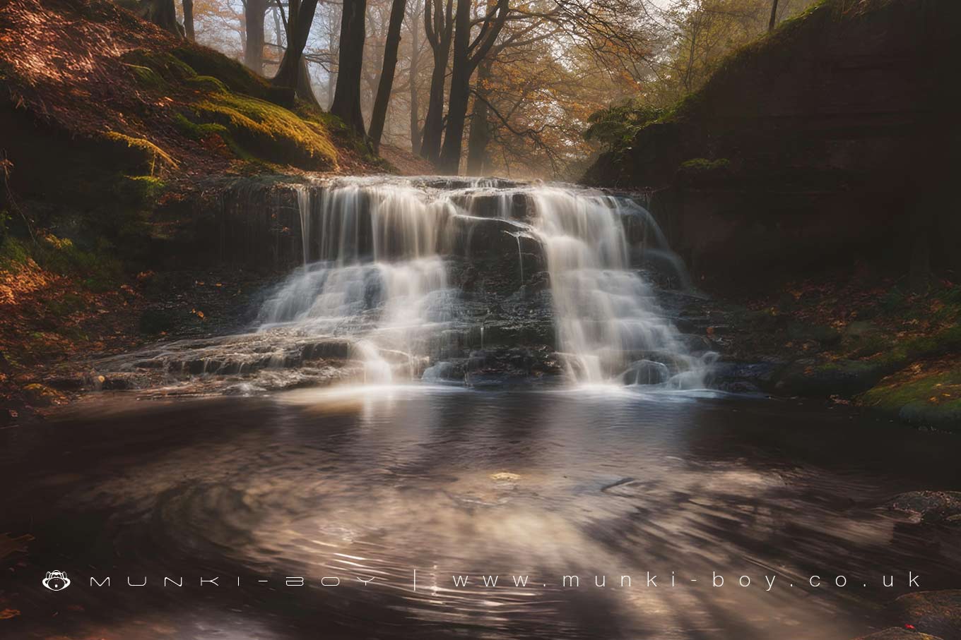
River Roddlesworth Upper Waterfall
The furthest upstream waterfall of note on the River Roddlesworth is found from a little detour off the old Mill Lane in Roddlesworth Woods.
Situated as many local waterfalls are, in what appears to be the boundary of a geological fault and probably modified by industry a couple of hundred years ago the waterfall is easily viewed from the path on the west bank of the river. Water volume over the River Roddlesworth waterfalls varies from disappointing to manic after wet weather.
Local History
Historic monuments near River Roddlesworth Upper Waterfall
- Pleasington alum works – 8.29 km away
- Part of Witton Old Hall medieval lordly residence 340m north east of Feniscliffe Bridge – 6.99 km away
- Pike Stones chambered long cairn – 4.41 km away
- Stone circle, ring cairn and two round cairns on Cheetham Close – 7.23 km away
- Bretters Farm moated site and two fishponds – 7.64 km away
- Headless Cross, Grimeford – 8.31 km away
- Round Loaf bowl barrow on Anglezarke Moor – 2.97 km away
- Round cairn on Noon Hill – 5.46 km away
- Round cairn on Winter Hill – 5.32 km away
- Steam tramway reversing triangle – 3.92 km away
- Round cairn 280m west of Old Harpers Farm – 7.94 km away