Explore The British Isles

Stones Lane Standing Stones
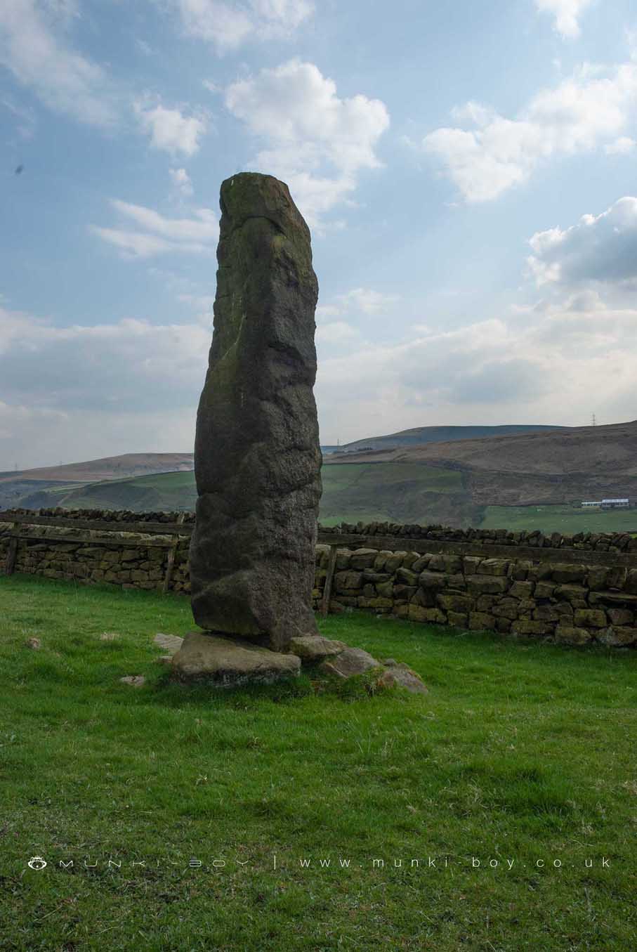
There are two probably ancient standing stones on either side of Stones Lane above Todmorden. The large stone close to Stones House is very impressive and stands a few feet away from the drystone wall at the boundary of the road.
There is a smaller stone near Stones Grange Farm that is vaguely conical in shape and was one of a pair used for gateposts until some time around the 1950s. Around the same time a stone was mounted in the Centre Hill beacon site memorial, they are probably one-and-the-same although they are of rather different shapes. The stone that is set at the beacon site has holes for fixings visible towards the top which supports this former role as a gate post. Curiously the two stones were set a few feet back from the current drystone wall, similarly to the larger stone detailed above. Perhaps the old track was wider than the current metalled road and this places the positioning of the stones before to a time before the current walling which is shown on the 1844 map.
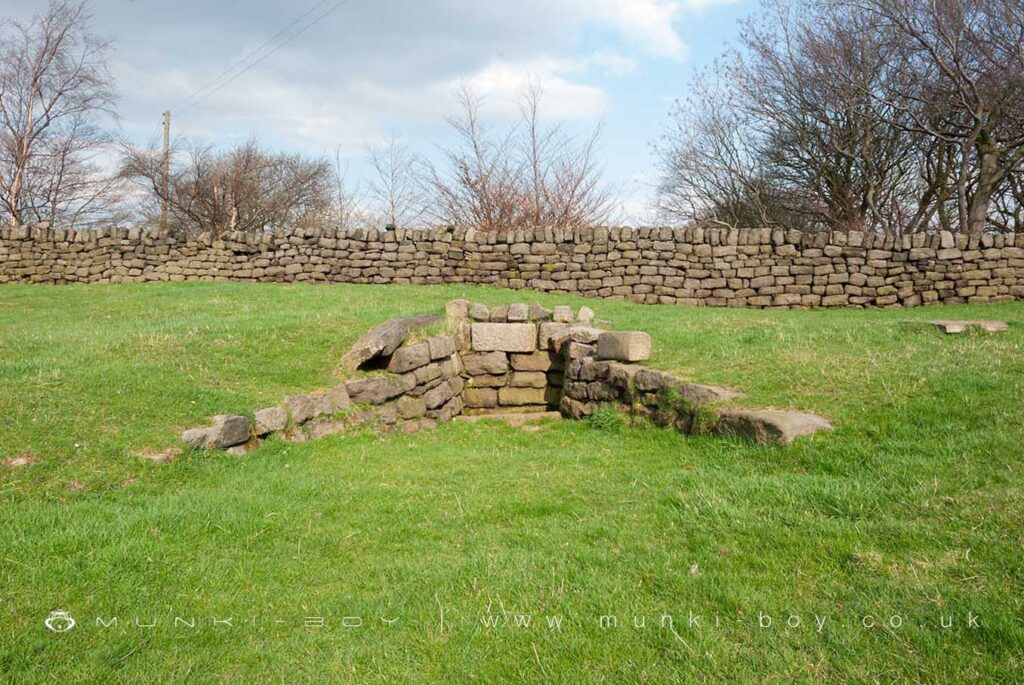
There are a number of stone-dressed springs nearby together with several wells, one of which had gone out of use by the turn of the 20th Century but could have another former standing stone recumbent in the stone surround.
The locations of all but the recumbent stone can be easily traced on the old OS Maps and as unlabelled points on the modern where scale allows.
Nearby Stones House (Grade ii listed) dates to 1746 but there is mention of Henry de Stones in the mid-13th Century.
Local History
Historic monuments near Stones Lane Standing Stones
- Thieveley lead mine 330m south west and 910m WSW of Buckleys – 7.23 km away
- Bowl barrow on Hameldon Pasture – 9.61 km away
- Round cairn on Hameldon Pasture – 9.60 km away
- Blackstone Edge Roman road – 7.79 km away
- Blackstone Edge Roman road – 7.79 km away